Why names matter in South China Sea territorial disputes

The government of the then Republic of China’s Review Committee for Land and Water Maps followed this up in January 1935 by publishing a list of the 132 islands and islets that the committee believed rightfully belonged to China.
How China-Japan relations will benefit from new crisis management agreement
However, all of the names are transliterations of the Western names that appeared on navigation maps dating back several hundred years. For example, North Danger Reef was called Bei Xian and, in the Paracels, Antelope Reef became Lingyang Jiao.
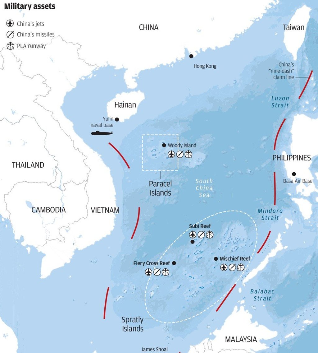
In April 1935, the committee published “The Map of the Chinese Islands in the South China Sea,” claiming an extension of the southern border to 4 degrees north. This is the location of James Shoal, which the Chinese translated as Zengmu Tan (“zengmu” is a transliteration of James and “tan” means beach or sandbank). A beach or a sandbank is something that sticks out of the water while a shoal is an underwater feature. James Shoal is 22 metres below the surface. It would appear that the committee was unfamiliar with the area when it declared it to be a land feature and based its territorial claims on a piece of territory that doesn’t exist.
How a non-existent island became China’s southernmost territory
China would not produce Chinese names for the islands until the late 1940s. Itu Aba was renamed Taiping Island (in honour of a 1946 expedition to visit the island) and Thitu Island was renamed Zhongye Dao. The Spratlys became Nanwei and James Shoal was finally recognised as a reef (ansha).
