Preparing for the return of El Nino
There are strong signs El Nino will return within weeks - and it could be back with a vengeance

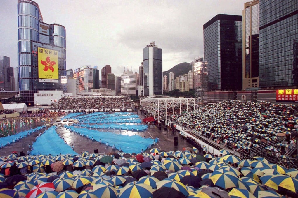
Anyone who remembers the ceremony on the evening of June 30, 1997, for the handover of Hong Kong back to China, will surely recall one aspect of events: it rained! There was an intense downpour as a military band played and dignitaries watched the Union flag being lowered for the last time.
The rain came amidst a soaking wet summer in Hong Kong's wettest year on record - which brought 3,343mm of rainfall at the Hong Kong Observatory, 51 per cent above normal. This rainfall was attributed to an El Nino event in the Pacific, which also resulted in major weather changes in several regions around the world, and lasted well into the following year. Though El Nino is not a rare phenomenon, recurring at intervals of perhaps three to eight years, the 1997-98 was exceptionally strong and its effects were severe.
There are strong signs El Nino will return within weeks - and it could be back with a vengeance. "A pattern of sea surface heights and temperatures has formed that reminds me of the way the Pacific looked in the spring of 1997," said Bill Patzert, a climatologist at US space agency Nasa's Jet Propulsion Laboratory. "That turned out to be the precursor of a big El Nino."
This does not make El Nino a certainty this year. Yet several forecasters agree with David Jones, head of climate monitoring at Australia's Bureau of Meteorology, who said: "A lot of the precursory signatures of an El Nino event are already out there in the Pacific."
El Nino, Spanish for the Christ child, involves a great change in the distribution of warm Pacific waters. Usually, trade winds blow across the north Pacific. They push warm water westwards, forming a gigantic "warm pool" where sea levels can be 45cm higher and temperatures 10 degrees Celsius warmer than in the easternmost Pacific. As these surface waters are pushed away from the coasts of Ecuador and Peru, colder water wells up from deep below. But little rain falls in the east, so land fringing coastlines is relatively dry.
During normal years, moist air rising above the warm pool leads to abundant rainfall in the west, resulting in the lush forests and rice fields of Indonesia. After dropping the rain, air circulates eastwards, high and dry above the trade winds. Sometimes, though, the trade winds weaken for weeks and even months. Then, some of the warm water surges east in immense ripples known as Kelvin waves. If this persists, it becomes an El Nino, with waters in the eastern Pacific significantly warmer than normal.