Advertisement
Advertisement
Censorship in China
Get more with myNEWS
A personalised news feed of stories that matter to you
Learn more
Publishers are less willing to produce books that include maps of China because of the difficulty getting them past the censors, sources said. Photo: Shutterstock

Exclusive | Off the charts: why Chinese publishers don’t want maps in their books

Publishing sources say they are leaving maps out of books entirely to avoid going through the long and complicated review process
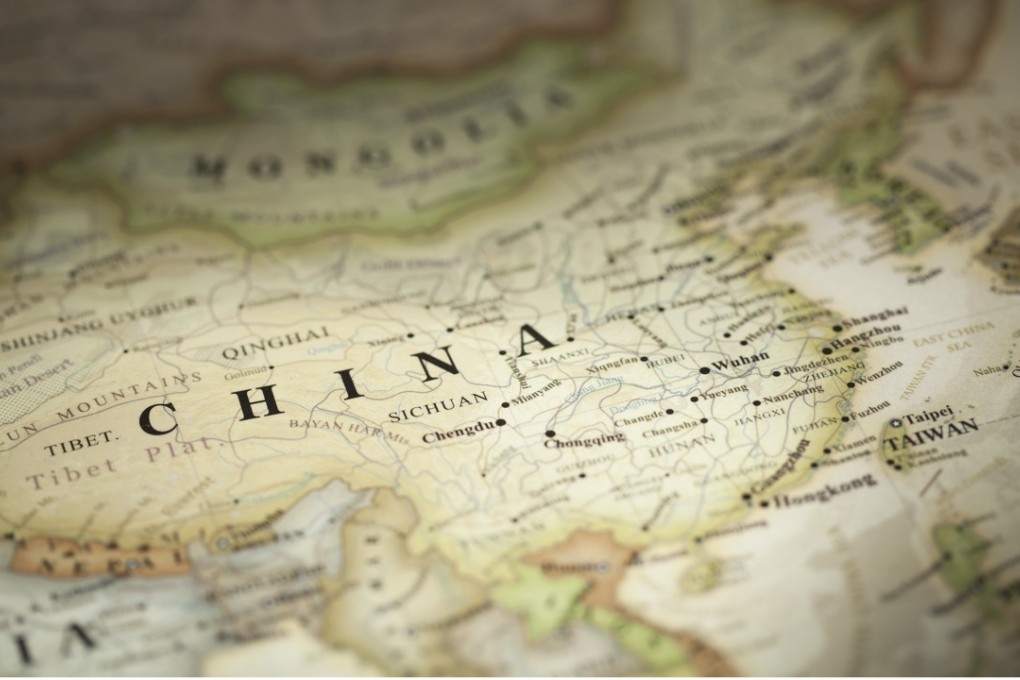
New rules have made it so difficult for publishers to get maps of China past the censors that some are choosing to leave them out of books entirely to avoid the tortuous review process, according to three separate publishing sources.

Publishers are less willing to produce books with any type of map of China, and some even suggest their authors remove maps before they will go ahead with a book deal because they consider the process of getting them approved for publication to be difficult and costly, the sources told the South China Morning Post.

While Beijing has always been fastidious about maps of China – particularly whether they include the nine-dash line showing its disputed claim in the South China Sea, and the self-ruled island of Taiwan – the censors are now also turning their attention to how the country is represented on maps of the world, and even historical maps.

Under new rules that took effect in January, all maps of China, regional maps of Hong Kong, Macau and Taiwan, world and historical maps must be approved by the State Bureau of Surveying and Mapping before they can be published, republished, exported or imported. Only maps of tourism sites, public transport and local neighbourhoods are exempted.

The process to submit maps for approval is long and complicated. For most publishers, it could take more than a year, or even longer, to get a map approved – although the bureau states it will take up to 20 days to review applications “upon receipt of the required documents”.
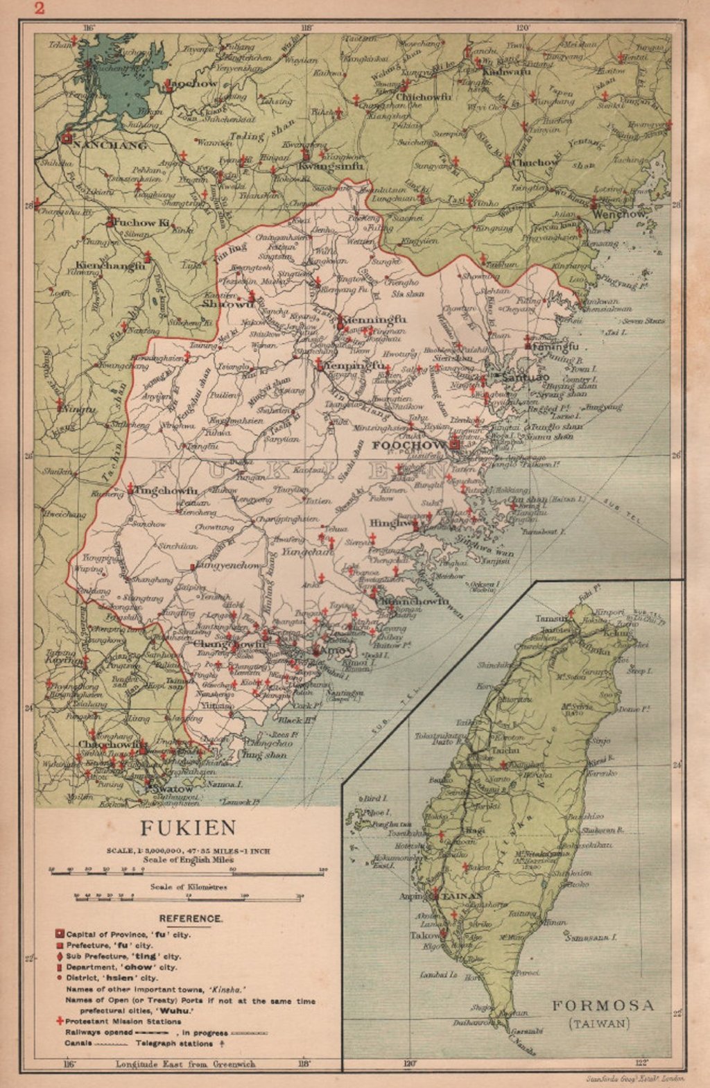
One of those required documents is an official letter of consent from the original cartographer, even if the map is already in the public domain. Since most cartography in China is done by state organs with no incentive to give permissions to publishers, these letters are not easy to get hold of.

The process can translate into a significant extra cost for publishers. One book editor from a state-owned publishing house in Beijing, who declined to be named, said they tried to avoid the approval process where possible by removing maps if they were not essential to books.

“We don’t publish map products, we just use maps as illustrations or for covers in general books,” he said. “If you include the time spent navigating the bureaucracy and all the waiting, you’re looking at more than 20 days … and they’re not just reviewing the maps – they also read the related text. So if that text is long, it can slow things down even more.”

Popular science writer Liu Dake took to social media to air his grievances about the new rules in late April. The painful process to get maps approved for his new book meant he could not get it published, Liu wrote on Weibo, China’s version of Twitter. He instead put the text of the book online for his subscribers to read.

The bureau, which is under the Ministry of Natural Resources, said it was unaware of any complaints from publishers. An official answering the bureau’s inquiry hotline said the approval process did take longer than 20 days in “some cases”, but she declined to elaborate.

According to a list of products approved by the bureau, 42,822 “items” containing maps have been reviewed since 2000.

Previously these were mostly actual maps and atlases produced by publishers such as SinoMaps Press. But with the review scope expanded, the list now includes publications such as geography exercise books, history textbooks that might have a few maps, and even toys like globe jigsaw puzzles.

The list of review for May 17 shows the range of publications being vetted. Forty-nine items were reviewed by the censors that day, and 20 of those were rejected. The reviewed items included an English exercise book for 12-year-olds, a 28cm globe from a Dongguan firm for export to French-speaking countries, online maps produced by Tencent Technology, and a Chinese translation of A Global History: From Prehistory to the 21st Century by Leften Stavros Stavrianos.

The broader censorship of maps in China is part of an ongoing process. In 2015, for instance, Beijing made it clear that all maps in textbooks must be reviewed as it tries to control the narrative in schools.

Another book editor in Beijing who did not want to be identified told the Post that regulators in November ordered them to pull a book from the shelves that had been published two years earlier. The book had a map of China on its cover that had been taken from an official source but had been given a few minor design tweaks.

It comes as Beijing has shown a growing intolerance for anything that does not conform to its official line on Chinese-claimed territories such as Taiwan and Tibet, seeing any “incomplete” or “incorrect” map on a foreign product as a slight to its sovereignty. That has seen foreign firms from Japanese retail chain Muji to US clothing retailer Gap having to destroy products that had “incorrect” maps of China. Companies including Delta Air Lines and Marriott International have also apologised for and made changes to how they described Taiwan, Hong Kong and Macau on their websites.

Kristin Shi-Kupfer, director of research on politics, society and media at the Mercator Institute for China Studies in Berlin, said the increased scrutiny of maps “is part of the Chinese government’s increasingly active approach to establish its own concepts of political and economic order as new international standards”.

But she said Beijing’s efforts to control the narrative should be challenged. “Active disclosure and information sharing among institutions and persons concerned is crucial to jointly deal with … [this] push from the Chinese government,” Shi-Kupfer said.

That push has already caused plenty of controversy. Beijing in January criticised Muji for omitting the disputed Diaoyu Islands from a map in a catalogue that was distributed in China, resulting in a diplomatic protest from Japan, which controls those islands.
Meanwhile, a group of Chinese tourists caused a stir in Vietnam this week when they arrived at an airport wearing T-shirts showing the South China Sea territory map. They were stopped by security at the immigration desk and told to take off the T-shirts.

For Chinese students though, there are more immediate concerns as publishers opt for the path of least resistance. One postgraduate student preparing for exams on world history had to go in search of an atlas, according to their comment on the post by science author Liu.

“I was wondering why there wasn’t a single map in any of my six textbooks,” the student wrote. “I had to buy a separate atlas so that I could study.”

This article appeared in the South China Morning Post print edition as: Why publishers are pulling maps from their books
Post