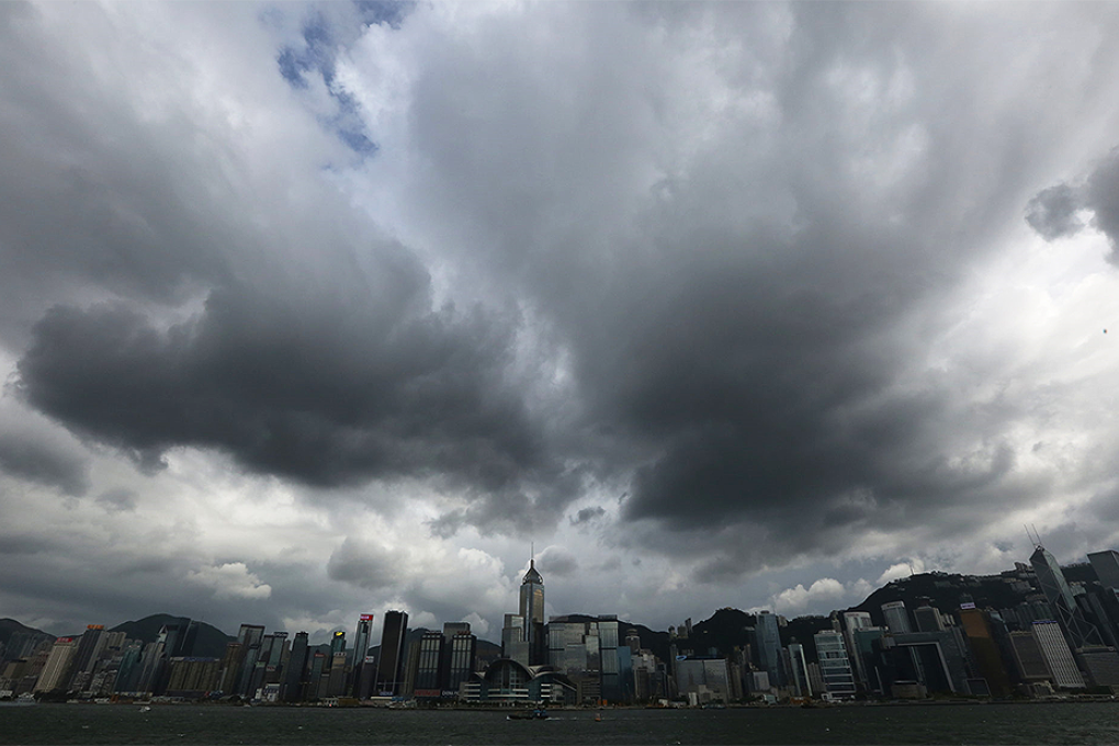
Update | T3 signal raised as Typhoon Rammasun brings strong winds and rain to Hong Kong
Squally showers and gusts of wind up to 70km/h expected as Typhoon Rammasun edges towards the coast of western Guangdong

The Observatory raised typhoon signal No 3 at 4.15pm as Typhoon Rammasun edged closer to Hong Kong, bringing with it squally showers and gusts of wind up to 70km/h.
At 9pm, Severe Typhoon Rammasun was estimated to be about 520 kilometres south of Hong Kong and is forecast to move northwest at about 22km/h in the general direction of western Guangdong and Hainan Island, the Observatory said.

Thundery showers on Thursday night brought more than 20 millimetres of rainfall to parts of the territory.
On the present forecast track, the chance of issuing higher signals tonight is not high, the Observatory said.
When Rammasun moves to the southwest of Hong Kong and edges close to the south China coast later on Thrusday and on Friday morning, local winds on high ground and over southwest coastal region will occasionally reach gale force.
Hong Kong awoke on Thursday morning to a No 1 signal issued by the Observatory as wet and windy weather on the fringes of the typhoon brought some respite to days of stiflingly hot weather that has seen the city swelter.