The hi-tech car on a mission to map out Hong Kong as part of smart city bid
Data collected will help in government work and land surveys, including creating 3D maps of the urban landscape and terrain
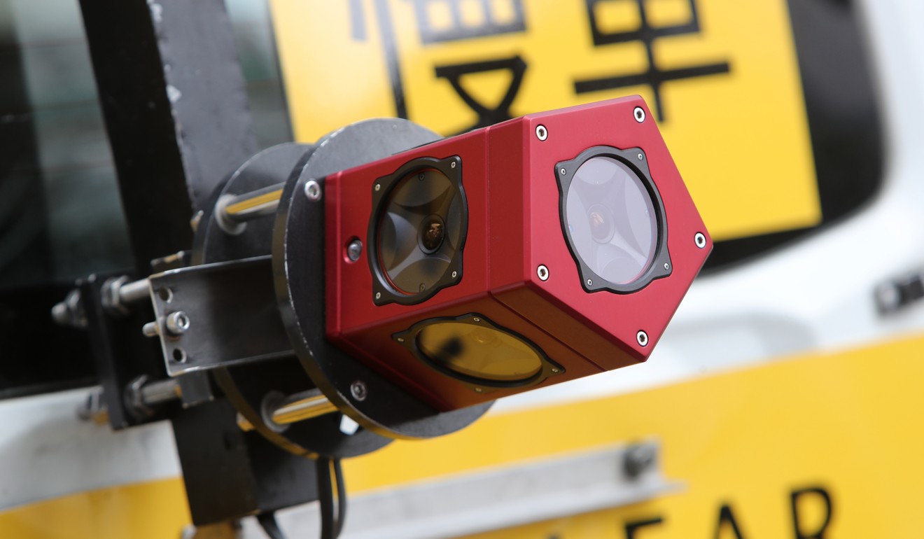
A slow-moving white SUV which costs HK$5 million has covered more than 200km of Hong Kong’s roads since December, collecting 400,000 panoramic images on its mission to map out the city.
But the vehicle does not belong to internet search giant Google, known for its use of a similar method to gather data for online maps. The car is a new acquisition by the local government in efforts to create a smart city.
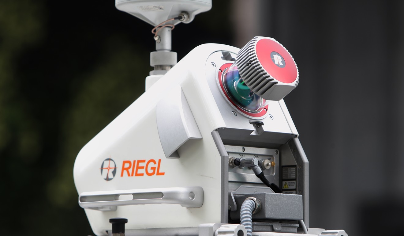
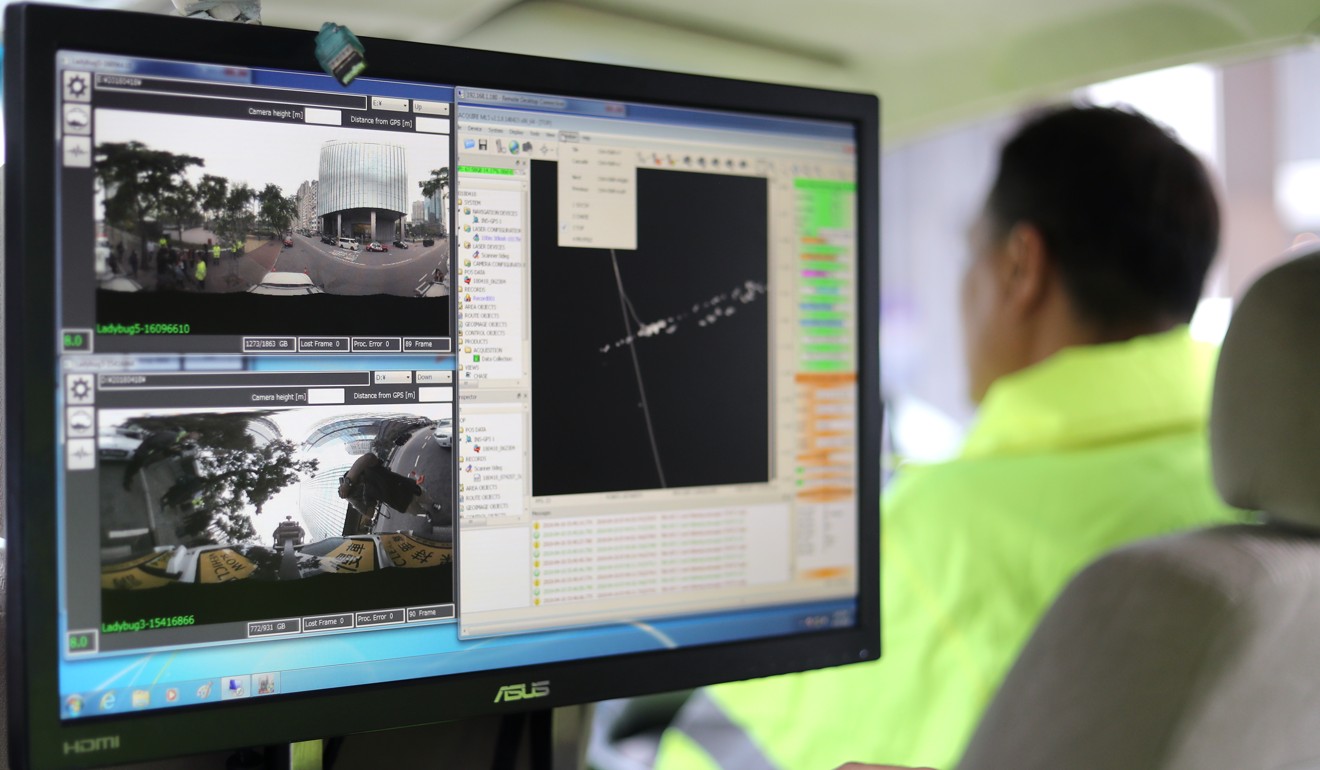
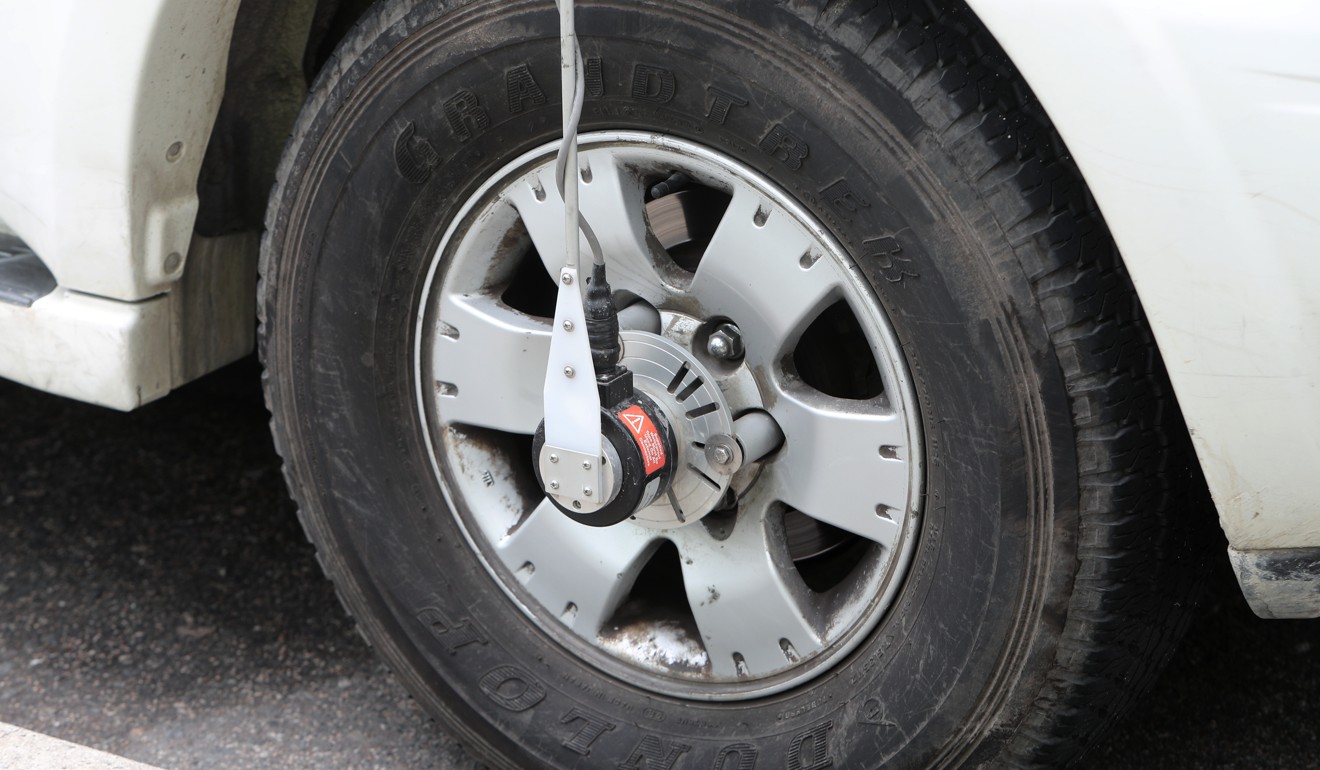
Fitted with the latest mobile mapping technology, the vehicle can scan the environment and record the city’s physical features while on the move, collecting crucial spatial data.

What’s holding Hong Kong back from becoming a smarter city?
“The good thing about the car is that it collects all sorts of complex data quickly, efficiently and accurately – from anything as minute as the real distance between drainage covers to the height of lamp posts,” Lands Department land surveyor Eddie Ho Chi-ho said.

Moving at less than 40km/h, the vehicle has scanned areas between Sha Tin and Tsuen Wan. The data it collects allows authorities to keep track of physical changes in Hong Kong and can be used for updating local maps and building more detailed three-dimensional ones.
Such information is also distributed internally among government departments for various purposes in day-to-day work.
One-stop Hong Kong database portal planned by 2023 to ease information gathering and spur ‘smart city’ development
Senior land surveyor Leung Ho-ming said the car, a new addition for the government in its surveying and mapping work, was a better tool than traditional equipment for collecting data along stretches of roads, motorways or large infrastructure projects.
The bulk of the city’s surveying and mapping work still relies on traditional data gathering equipment, mainly with an instrument called a total station, which measures angles and distances.

The measurements correlate to a map of an area’s terrain and allow workers to identify the locations of structures and buildings relative to their surroundings.
The total station, which comprises a set of lens mounted on a tripod, has to be manually positioned.
Leung said such traditional methods still had a place among new technology and equipment.
Hong Kong smart city blueprint rolled out amid scepticism over pace and scope
“They each have their own unique features. The car is good at gathering vast amounts of data, while the traditional equipment has its merits in getting precise locations,” Leung said.
In remote villages and narrow back alleys or where cars have no access, the department deploys officers carrying two backpacks equipped with similar panoramic cameras and global navigation satellite systems to collect data.

Each backpack weighs 10kg, and has been used to gather evidence in cases of illegal occupation of government land to identify and detail structures that have been built.
Kenneth Tang Siu-sing, chairman of the spatial data infrastructure committee of the Smart City Consortium – a group of professionals that advises the government – said such data and maps form the backbone of any research and development to create smart city applications.
Why is Singapore much smarter than Hong Kong? City left trailing rival in global technology index
“What the technology does essentially is it captures the real environment and data as closely as possible and transforms it into a digital, virtual map,” Tang said.
“If we want to create applications that help us live more comfortably and efficiently, then we need to know and analyse the real environment,” he said.
“Other countries started using these technologies about a decade ago. Hong Kong always lags behind by a bit, but better late than never.”

