Exclusive | Planning chiefs reveal vision for more public space in heaving Hong Kong
Ideas include turning roads into public spaces, more pedestrian zones and creating performance areas under bypasses
Planning officials say they are contemplating “out-of-the-box” solutions to provide more recreational space in built-up areas to meet higher standards set out in the city’s latest long-term development blueprint.
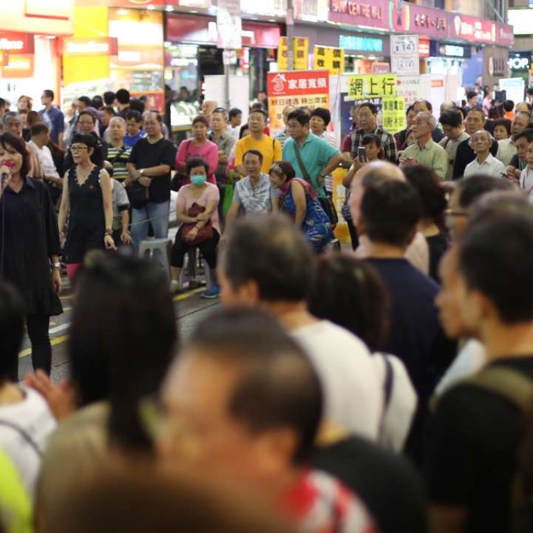
Roads took up 27 per cent of ground-level space in Mong Kok, one of the world’s most densely populated areas, while public space accounted for just 5 per cent, Steven Yik Ho-siu, of the Planning Department, said.
“If we look at the characteristics of each district, we can find out where the potential is to release more public space,” he said. “In the case [of Mong Kok], if we turn 1 per cent of roads into recreational space, we can enlarge the space by 5 per cent.”
Released in October for a six-month public consultation, 2030 Plusproposes to increase the ratio of open space per person from the current two square metres to 2.5 square metres.
Yik, one of the drafters of the blueprint, said the idea was to create a more liveable and pedestrian-friendly city.

Busy parts of the city, such as Pak Sha Road in Causeway Bay, could be reserved for pedestrians during certain hours of the day, she said. The use of underground spaces in Tsim Sha Tsui West, Causeway Bay, Happy Valley, and Admiralty or Wan Chai could also be explored.

Cheung admitted that there had been difficulties in finding more public spaces.
“People have competition for space among themselves,” she said. “Pedestrians need to compete against other activities.”
This was why innovative ways of pedestrianisation were needed to reduce this competition among different users of space.
Cheung said the department had been in constant touch with the Transport Department, which is studying ways to reduce the number of private cars and consulting the public about a proposed electronic road pricing system.
The 2030 Plus blueprint also projects a shortfall of 1,200 hectares of land for housing and economic development in the long run. It recommends developing two new towns on reclaimed land off the east coast of Lantau Island and in the northern New Territories – which together will provide 1,700 hectares – to meet the demand.
But the plans, especially the proposal to build a 1,000-hectare man-made island, have met with great opposition from the public, who want the government to make more efficient use of existing land resources first.

Cheung said the two new towns were not the only choices for the public. She said the paper had invited people to submit their own proposals in fulfilling long-term demand for land.
The government had already been working on some alternatives, Cheung said, such as developing brownfield land, abandoned agricultural land, exploring underground and cavernous spaces, and increasing the development plot ratio to allow more flats to be built in a given area.

