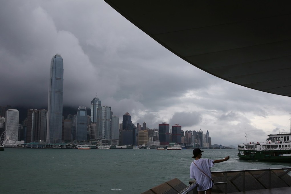
Typhoon signal No 1 issued for Hong Kong as squalls expected
Forecasters say tropical depression was about 400km south of Hong Kong on Sunday morning

A typhoon signal No 1 for Hong Kong remained in force, with weather forecasters ready to issue a higher level of warning as the storm system nears the city later Sunday.
At 10am Sunday, the Observatory estimated the tropical depression over the northern part of the South China Sea was about 400km south by southwest of Hong Kong. A tropical depression is the lowest classification for tropical cyclones.
The weather authority issued the No 1 signal at 11.10pm on Saturday.
It predicted the tropical depression would move west by northwest at about 25km/h “towards the vicinity” of the western part of Guangdong province and Hainan Island.
The storm was forecast to be closest to the city on Sunday afternoon, skirting more than 300km to the southwest.
It’s official: Hong Kong sweltered through record-breaking summer
Short periods of squalls were expected in Hong Kong, and the Observatory said seas would be “rough with swells” and that gusts reaching 70km/h or above would “continue to affect” the city.