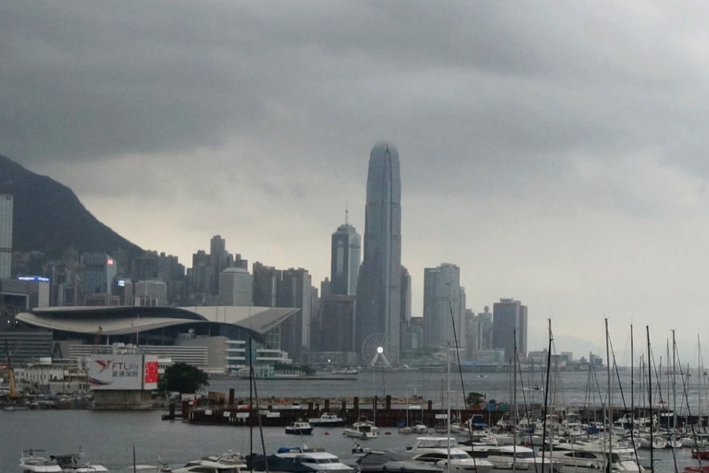
Hong Kong Observatory to keep an eye on possible typhoon on the way, as it forecasts storms and showers in the days ahead
Wet start to June comes after hottest May in city since records began in 1885

A tropical depression brewing over the South China Sea “will not pose a direct threat” to Hong Kong for the time being, the Observatory said on Monday, adding it would assess again on Tuesday whether to issue a typhoon signal.
The news came as it was confirmed that last month was the hottest May in the city since records began in 1885, with a mean temperature over 28 degrees Celsius.
According to the Observatory’s acting senior scientific officer, David Lam Hok-yin, the tropical depression lingered about 800km from Hong Kong on Monday. At 4pm, it was centred about 230km west-southwest of the Paracel Islands – known in China as the Xisha Islands and in Vietnam as the Hoang Sa Islands.
It was forecast to move slowly north, towards the vicinity of Hainan Island.
“Its structure is rather loose and it moves slowly, keeping a distance of more than 700km from Hong Kong on Monday, so it will not pose a direct threat to Hong Kong for the time being,” Lam said on Monday evening.