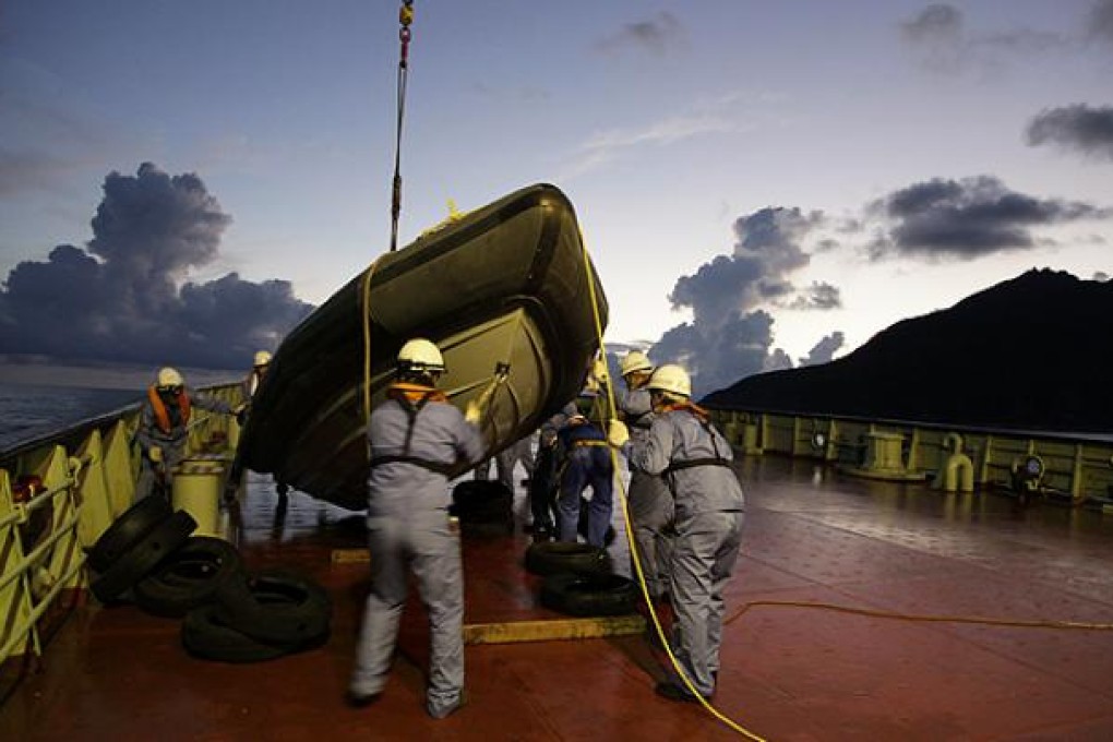
China plans geographical survey of Diaoyu Islands
China is to carry out a geographical survey of islands in the East China Sea at the centre of a bitter territorial dispute with Japan, Xinhua news agency said on Tuesday.

China is to carry out a geographical survey of islands in the East China Sea at the centre of a bitter dispute with Japan, state media said on Tuesday.
The survey of the Diaoyu Islands – known as Senkakus in Japan, which controls them – was part of a programme to map China’s “territorial islands and reefs”, the Xinhua news agency said, citing a state geographical agency.
The maritime dispute, which has simmered off and on for years, intensified last year when the Japanese government nationalised islands in the small chain it did not already own, triggering anger and demonstrations in China.
The protests were allowed to take place by the Communist authorities in Beijing, who use nationalism to bolster their claims to legitimacy, particularly regarding Japan, which occupied parts of China in the 20th century.
The mapping exercise was part of China’s efforts to “safeguard its maritime rights and interests”, Xinhua said, without saying when it would take place or making clear whether it would involve activities on land, as opposed to sea-based surveying.
It quoted Zhang Huifeng, an official with China’s National Administration of Surveying, Mapping and Geoinformation, acknowledging that there could be “difficulties”.
“There are some difficulties in landing on some islands to survey, and in surveying and mapping the surrounding sea area of the islands, because some countries infringed and occupied these islands of China,” he said.