
A young relative sticks paper planes on a board during an event remembering the 100th day of the missing crews and passengers. Photo: EPA
Inmarsat distances itself from a BBC documentary due to air on Tuesday night, suggesting the most likely crash site has yet to be searched.

Inmarsat, a key figure in the search for missing Malaysia Airlines Flight MH370, has distanced itself from a BBC documentary due to air on Tuesday night, suggesting the most likely crash site has yet to be searched.
“The suggestion was the BBC was promoting the final resting place of the aircraft, but it doesn’t appear to me in the trailer that they do mention that – but maybe they do in the programme,” said Chris McLaughlin, the company’s senior vice president of external affairs.
“If they do mention a point, it’s fairly difficult to do so because it’s not really supported by the data.”
Inmarsat’s scientists told the BBC’s Horizon programme that they had calculated the plane’s most likely flight path and a “hot spot” in the southern Indian Ocean in which it most likely came down.
However, McLoughlin refuted the latest potential development as a significant development since the aircraft vanished more than 100 days ago.
“We have such limited data in relation to the loss of the plane, that we can only indicate the search area. We can’t indicate a signal point to look,” he said, referring to a “hot spot” widely trailered on the BBC programme.
Inmarsat’s scientists told the BBC’s Horizon programme that they had calculated the plane’s most likely flight path and a “hot spot” in the southern Indian Ocean in which it most likely came down.
The flight lost contact on March 8 en route from Kuala Lumpur to Beijing with total of 239 passengers and crew on board.
Hourly pings sent by the plane were received by Inmarsat’s spacecraft, leading scientists to calculate its likely path.
Australian naval vessel Ocean Shield was dispatched to investigate, but before reaching the likely site, began to detect a signal that it believed was coming from the plane’s black box, Inmarsat told the BBC programme.
Two months were spent searching 850 sq km of sea bed north west of Perth, but the source of the “pings” was not found and a submersible robot found no evidence of the airliner.
“It was by no means an unrealistic location but it was further to the north east than our area of highest probability,” Chris Ashton at Inmarsat told Horizon.
Experts from the satellite firm modelled the most likely flight path using the hourly pings and assuming a speed and heading consistent with the plane being flown by autopilot.
“We can identify a path that matches exactly with all those frequency measurements and with the timing measurements and lands on the final arc at a particular location, which then gives us a sort of a hotspot area on the final arc where we believe the most likely area is,” explained Ashton.
Australia’s Joint Agency Coordination Centre (JACC), established to manage the search, said the four acoustic “pings” picked up by the black box detector attached to Ocean Shield had to be pursued at the time.
The four signals taken together constituted the most promising lead in the search for MH370 and it was a lead that needed to be pursued until completion so the search team could either discount or confirm the area as the final resting place of MH370,” JACC said in a statement.
Australian officials agree that a linear arc produced using the satellite messages, or “handshakes”, leading to the southern Indian Ocean likely represents the plane’s flight path.
But the Australian Transport Safety Bureau said experts were still working to define the area to be scoured in the next phase of the search, which will plunge ocean depths of up to 6,000 feet.
"The search strategy group is continuing its analysis of satellite and aircraft performance data, along with a range of other information, to determine the area that offers the highest probability of finding the aircraft," a spokesman said.
“This is highly complex work that requires significant collaborative effort with international specialists. The revised search zone is expected to be available in the coming weeks."
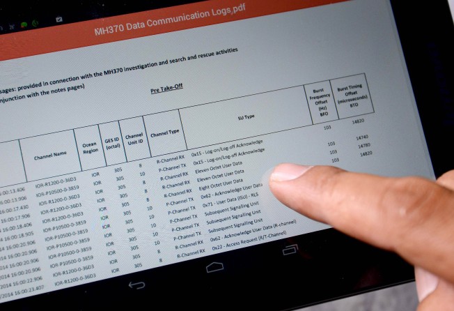
After coming under criticism from relatives over the futile search, Malaysia’s civil aviation authority and Inmarsat last month decided to release the raw data.
However, its complexity has led to few independent conclusions being drawn about the likely crash site.
Malaysian Selamat Umar, whose son Mohamad Khairul Amri was on the ill-fated jetliner, questioned the motives behind the data release.
“I am not convinced at all by the data,” he said. Why are they releasing it now? Before when we asked for it, they did not want to release it. What can we do with it now?
“I think they could have made some changes to the data,” Selamat, 60, added.