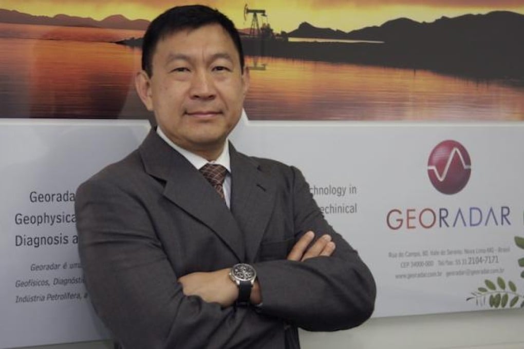
GEORADAR uses geophysics to lead way in mining and oil exploration
Discovery Reports

Knowing where to drill for oil several kilometres beneath the Atlantic requires the ability to transform geophysical know-how into appropriate commercial field applications. GEORADAR has developed this skill to become the leading provider of seismic mapping and related geological services for Brazil's oil and mining sectors.
"The industries we serve require us to always be at the edge of technology," says GEORADAR chief financial officer Luiz Nagata. "We find ways to turn new ideas into something useful for business."
Comprising five complementary businesses ranging from onshore and offshore services to navigation, GEORADAR participates across the whole value chain.
The company's offerings include pre-feasibility studies, surveys, content analyses, reserve quotations and environmental monitoring.
To maintain industry leadership, offshore services subsidiary GEODATA began the construction of a technical research centre in January. GEODATA also uses the most modern ship in Brazil for offshore surveying - the Marechal Rondon.
Navigation subsidiary GEONAVEGACAO will expand its fleet from five to 17 in the next five years. Five of the new vessels will be launching this year. "As the new vessels carry the Brazilian flag, they'll have priority on all domestic operations," says GEONAVEGACAO director Luiz Rala. Under Brazil's local content rules, businesses using such local resources receive tax incentives.
GEORADAR has also entered the ocean bottom cable (OBC) seismic technology market with the establishment of GEORXT, a joint venture with a Norwegian company specialising in seafloor seismic data acquisition. OBC gives better images than the conventional streamer technique, resulting in more accurate mapping.
Servicing the likes of Petrobras, ANP, OGX and Vale, GEORADAR is keen on attracting more technology partners and clients.
"We welcome companies that share our views and are willing to face new frontiers such as pre-salt exploration," says GEODATA general director Carlos Branco.
"In return, we offer our technical skills and top-to-bottom local support."