Drones take on increasingly important role in land, infrastructure, and property development
Drone surveying and monitoring saves time and labour costs, and produces better data, says Matthew Cua, founder and chief executive of SkyEye Analytics
Drones are changing the face of construction, making land, infrastructure, and property development easier by providing builders unparalleled access to data and imagery.
With their origin in military defence, unmanned aerial vehicles – commonly now known as drones – have already made their way into people’s lives in a plethora of ways, from being used as fun around the house, to allowing backpackers to capture stunning aerial photographs and videos of their travels.
Now, they are playing a growing part in business and government, and that market is expected to soar by another US$13 billion by 2020, catching up with the retail market, according to 2016 Goldman Sachs research.

Construction and development firms are likely to use them most, however, with the sector spending US$45 billion on drones last year, a separate PwC report has claimed.
“The name of the game in the drone industry right now is not necessarily drone itself, but how to apply it,” said Matthew Cua, founder and chief executive of SkyEye Analytics, a Filipino start-up providing drone mapping and surveying services.
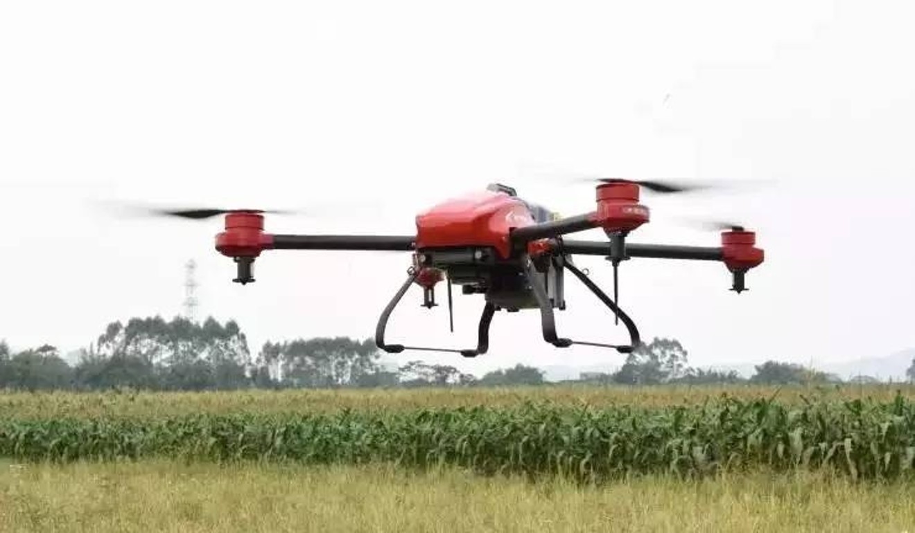
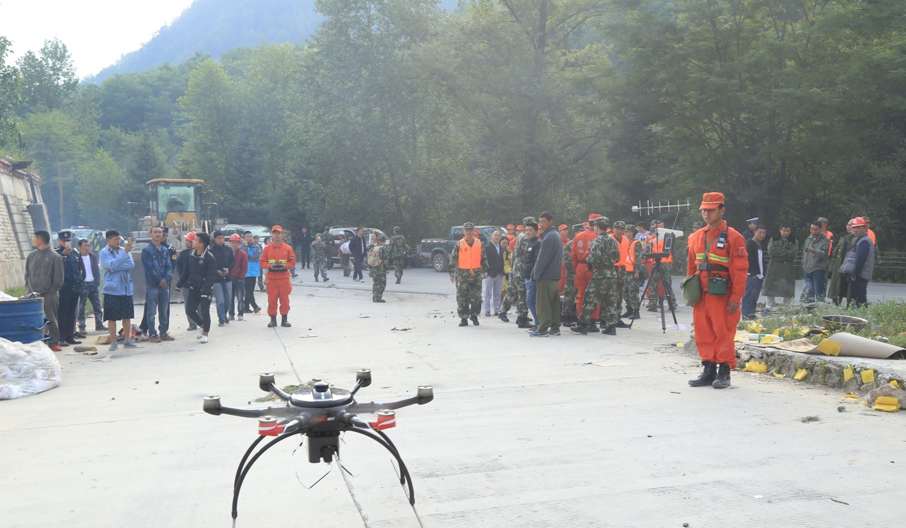
SkyEye’s drones – three metres wide on average and loaded with miniaturised cameras – are able to survey 10 hectares of tropical terrain in just four hours, compared with 30 days by traditional methods, and produce maps with much richer detail and data, said Cua.
The cost of doing a survey before [the use of drones] could be US$1,000 per hectare, now it’s US$20 for the same
This is because traditional surveying methods require workers operating in often dense undergrowth with equipment having to be laboriously moved from place to place, whereas drones can easily fly over areas hard or impossible to access, or dangerous.
“Before, everything was done manually, and you needed to have very expensive equipment,” said Cua. Traditional surveying equipment could cost anything between US$10,000 and US$30,000 per unit, whereas SkyEye’s drones cost just US$5,000 to US$10,000, he adds.
“The cost of doing a survey before could be US$1,000 per hectare, now it’s US$20 for the same.”
SkyEye already claims more than 50 commercial customers, from property developers, architecture and construction firms, to land owners, non-profits and governments.
“By acquiring various sets of data, drones are becoming an essential tool on construction sites and during regular maintenance and asset inventory,” said Adam Wisniewski, director of PwC’s drone-powered solutions team.
Drones can survey construction sites on average 20 times faster than ground-based land surveying teams, PwC found.
Its data also shows their use can cut the number of life-threatening accidents by 91 per cent, on average.

That’s music to Cua’s ears, as the use of his devices has made surveying so much more affordable for small businesses and individuals, as well as major corporates and governments.
In the Philippines, he says, “22 million families are living off their own land, but do not have the legal documents, too expensive to get the land properly surveyed”.
Strong growth in global infrastructure spending also provides huge market potential.
Investment in infrastructure is estimated to grow 30 per cent by 20200, with Asia accounting for 64 per cent of that growth, boosted by increasing populations, affordability of transport, and mobility, an earlier PwC report said in March.
Drones have also been put to use in the sale of luxurious homes, which benefit from dramatic aerial shots.
Country Garden, China’s third-largest property developer by contracted sales in 2016, has been studying the possibility of using them to monitor its US$100 billion “Forest City” project in Malaysia, for instance, says JTT, a Shenzhen-based drone company.
Although more than 70 per cent of the world’s drones are made in China, many Chinese drone firms have yet to keep pace with the rising demand, as 80 per cent of them focus only on manufacturing, iResearch found in 2016.
Meanwhile in the US, almost 40 per cent of all data collection services, are now provided by drone delivery.

