The joys of Po Toi, island off Hong Kong that’s a self-contained world of hikes, hills, rocky headlands and ruined houses
The island, once home to 1,000 fisherfolk, has trails for hikers, some distinctive rock formations, and a restaurant on the beach that serves seafood banquets
On a map, the island of Po Toi looks barely a stone’s throw from the southeastern tip of Hong Kong Island. It’s small, too, seeming as if it would fit comfortably on the Kowloon peninsula.
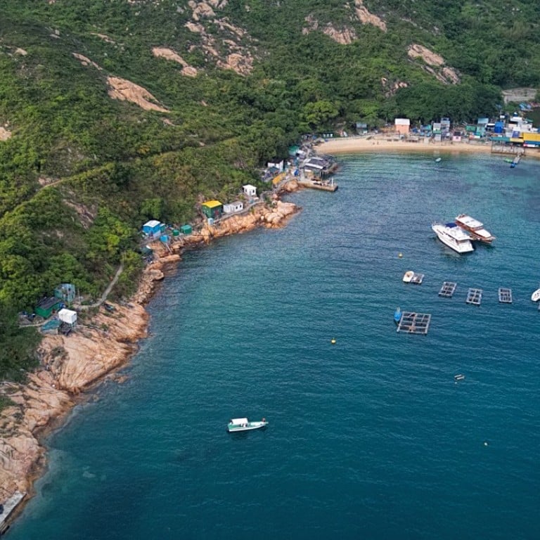
It might not look like much, but to visit Po Toi is to leave the city and arrive in a small world with villages, hills, coastal inlets and rocky headlands, trails to hike, places to explore, and some of Hong Kong’s best coastal scenery. Plus there are simple cafes and a restaurant, with fare ranging from noodle soup to seafood banquets favoured by junk party-goers.
Hong Kong’s best hikes: climbing Ma On Shan peak – all you need to know
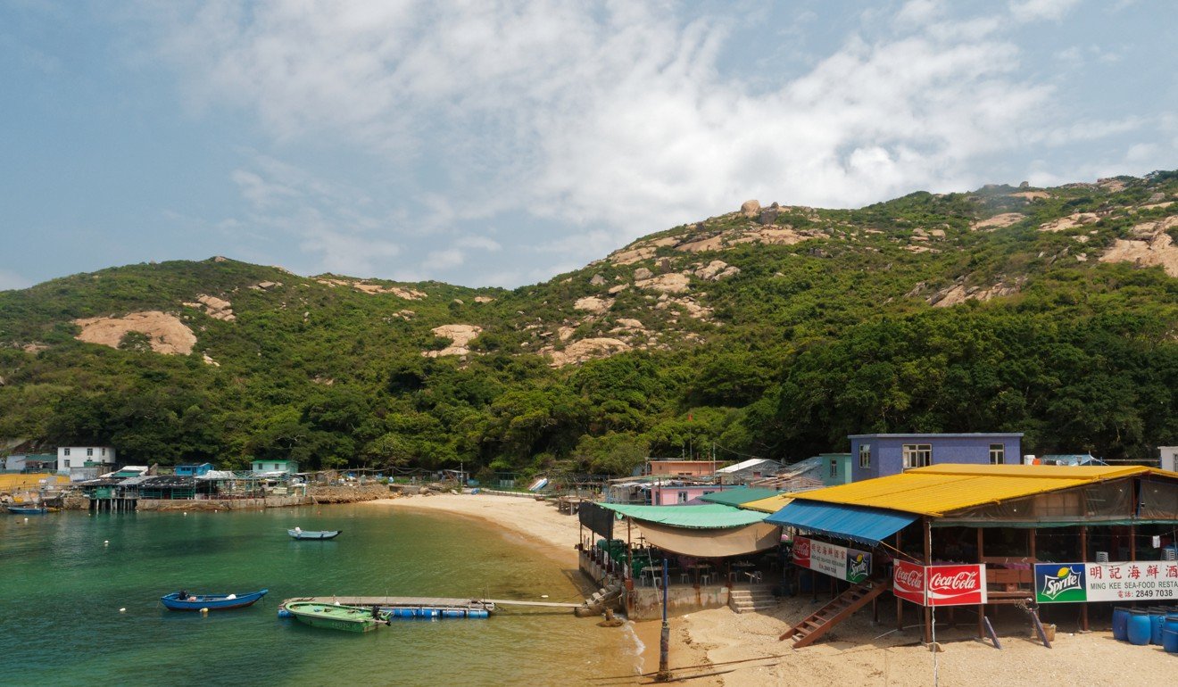
Junk and ferry passengers arrive via a pier in Tai Wan – Large Bay, a cove in southwest Po Toi. With its shelter against typhoons and a stream flowing to a tidal pool behind a beach, this became home to most of the island’s residents. Around a thousand fishermen and farmers lived here in the middle of the 20th century, though numbers have since dwindled to a couple of hundred as younger generations moved to the city.
There are ruined houses beneath grand old trees at the end of the pier. A footpath heads left, towards the tiny beach and main village area. There’s also a junction at an old shanty store; turn right here if you’d like to roam the wilder parts of the island. Soon, steps lead uphill, and you can pass a long disused school building.
A path climbs the hillside, with shrubs and trees affording welcome shade against hot sun. The trail eases, and there’s one of the sturdy signposts that point the way along walking routes. Partly blackened with time, these signposts now seem like relics from an earlier era, and this one still indicates the way to “Mo’s Old House”, even though a newer sign warns the area is private.
It was once a grand old house, built by a pirate called Mo Shui-tong, and served as a base for the Japanese army during the second world war. Now it’s a ruin hidden among dense young woodland, abandoned due to its reputed bad feng shui and rumoured to be haunted.
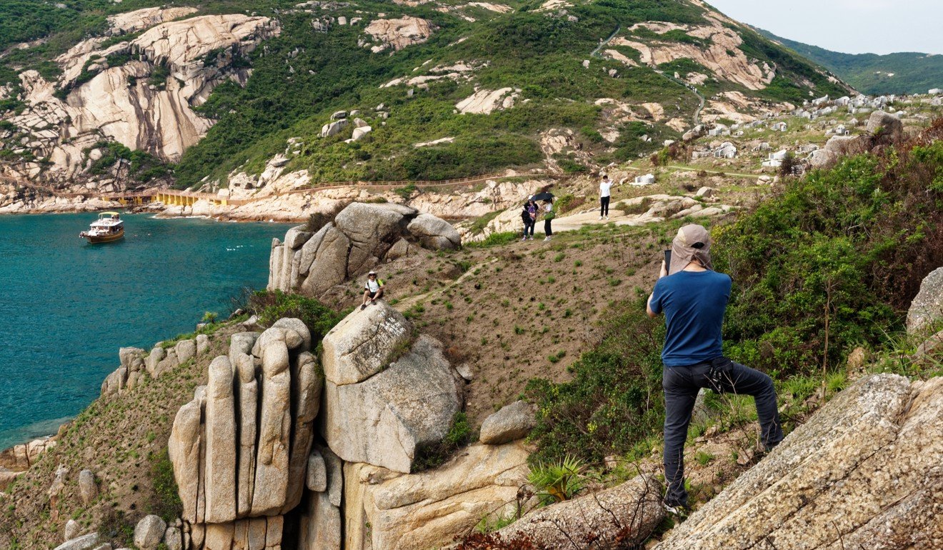
Higher up the hillside, the trail emerges from the vegetation and crosses a patch of gently sloping, weatherworn granite. There’s another sign, and the Rugged Trail heads off to the left, while the main path heads up a broad ridge to the right.
How to get away from it all on Hong Kong’s longest country trail
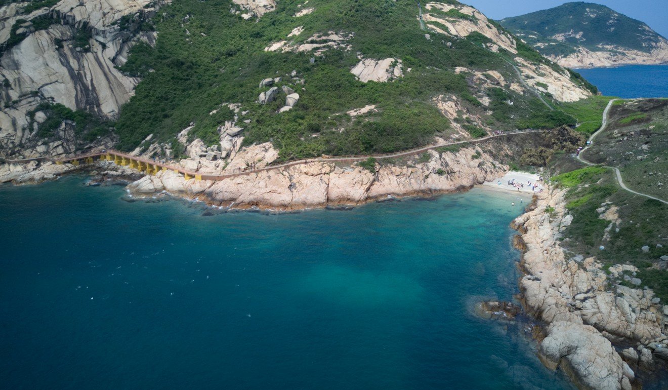
The Rugged Trail is indeed rough underfoot. Stretches of it are slender dirt trails, and in parts it crosses granite outcrops – sometimes with old chain link fences you might hold while scrambling up and down. It leads over an area of rolling hills, with views to the steep slopes of neighbouring Beaufort Island, and southern Hong Kong Island, then drops down to a Tin Hau temple at the mouth of Tai Wan.
To the right, the trail is easier, with concrete steps. It soon reaches Ngau Wu Teng, which is the highest point on Po Toi, 188 metres above sea level. A pavilion here makes a fine place to rest, shelter from the sun – or rain – and enjoy looking out over southern Po Toi and the sea beyond.
Then, flights of steps lead down to a neck of land that connects to a peninsula. Just below, on the right, there’s a tiny beach that’s pleasant for paddling. Head straight on, and the path climbs a low hill, dotted with boulders amid vegetation kept low by fires started by grave sweepers doubling as accidental arsonists.
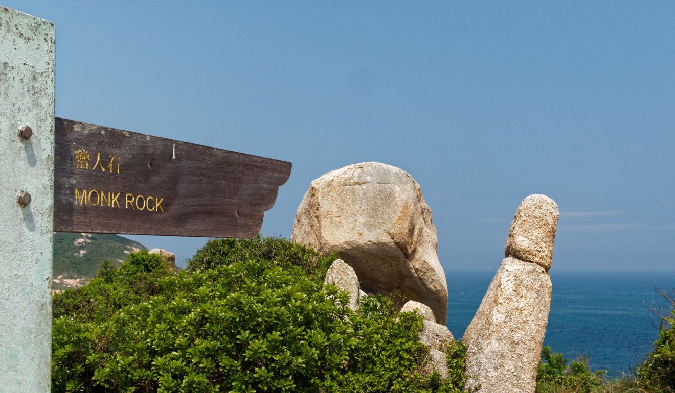
Some of the rocks here have been named. Monk Rock is like a pillar rather taller than a man, recalling a monk bowing in supplication. A sign by it also points to Turtle Rock, though this is better appreciated from farther along the path.
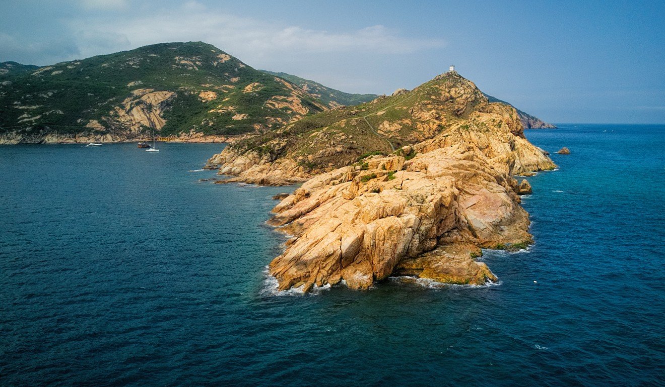
There’s a lighthouse atop the hill. It’s not a classic round white building, run by a man in a thick jersey with a bushy beard and an attentive cat, but a squat square concrete structure, operating automatically.
Below here, there’s a chance to scramble onto the southernmost tip of Po Toi – which, along with one of the Soko Islands, comprises the southernmost land in Hong Kong. It’s hewn from granite, and kept bare of soil by typhoon waves. With waves surging against the low cliffs even on fine days, this is a wonderful, wild place.
A path back towards the ferry pier mostly hugs the coastline. It passes above Palm Cliff, where Buddha Hand Rock does indeed look like the hand of a Buddha statue, held palm outwards. There’s a short footbridge over exposed rock that hikers formerly had to clamber over. Shortly beyond this, there’s a side trail down to an ancient rock carving.
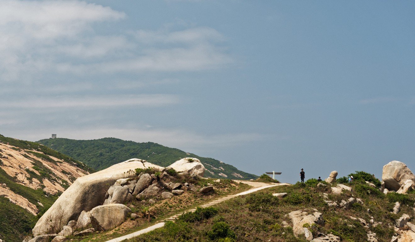
The trail passes through an area of former farmland. Officials had ideas about making this a country park back in 2001, but made no real progress. Controversy flared here in 2012, when a company built crude “vaults” for storing urns. Villagers and environmentalists objected to the scheme, and the columbarium plans were halted.
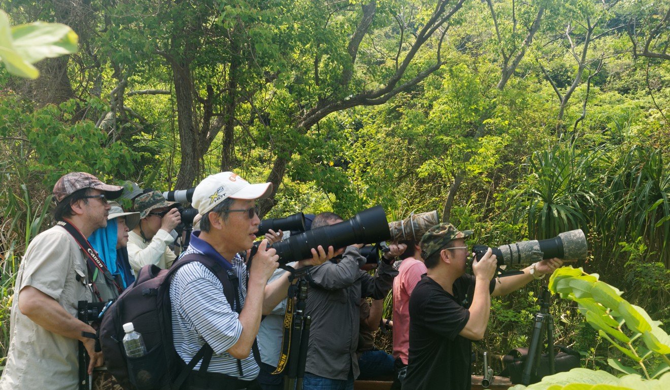
Still, Po Toi retains its magnetic appeal to buzzards, flycatchers, warblers and more, which are especially drawn to the clusters of old trees around Tai Wan. Visit during the spring or autumn migration seasons and while you may notice few birds, you could well sight a binocular-toting birdwatcher, or a gaggle of greater-camera-lugging photographers.
On fine days, there will be junk parties too, arriving to feast at Ming Kee Seafood Restaurant. Some hikers are content with less celebrated fare at one of the simpler cafes, together with a chilled drink or two before the ferry arrives for the journey back to the big city.
Getting there
Tsui Wah Ferry Service (HK) operates ferries serving Po Toi, with departures from and to Aberdeen on Tuesdays, Thursdays, Saturdays, Sundays and public holidays. There’s also a service between Stanley and Po Toi on Sundays and public holidays. There’s a timetable at td.gov.hk

