How a Google Maps Street View operator in Hong Kong tackles photographing everywhere from parks to peaks – and maybe the odd posterior
- Raf Ho has covered thousands of kilometres snapping Hong Kong for Street View, from driving its busiest roads to lugging heavy cameras up its steepest peaks
- Whether in town or a remote village, he says he’s never had anyone get upset by the presence of his camera – he just gets pointed at a lot and asked for selfies

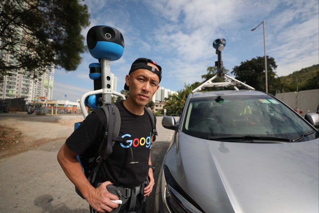
Raf Ho Man-fung is a Hong Kong celebrity whose name nobody knows.
Whether he is driving down the street in the centre of town, hiking up in the hills or striding round one of the city’s parks, it’s not long before people stop to stare, nudge each other and point, and fumble for their smartphones so they can snap a picture.
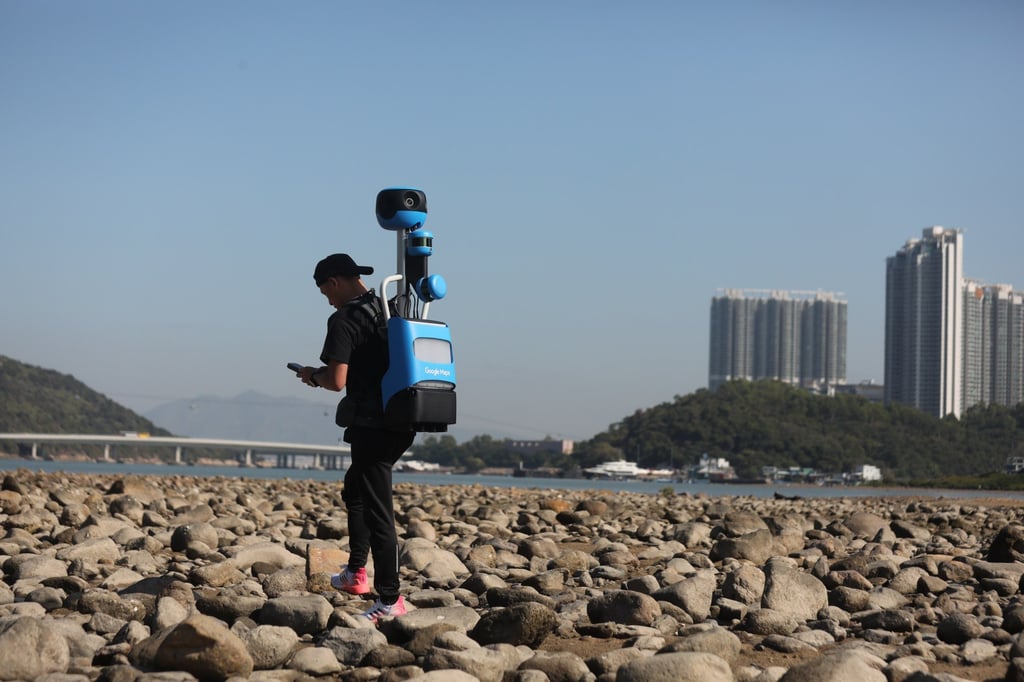
Such is the price of fame when you are Google’s chief Hong Kong camera carrier – or Street View operator, in official parlance – tasked to patrol the territory’s nooks, crannies and outer fringes with an 18kg (40lb), 360-degree Trekker camera system strapped to your back, looking something like an extra from Star Wars.
Street View came to Hong Kong in March 2010, giving new life to the city on Google Maps by creating a pictorial record of just about anywhere a vehicle could be driven. Since then, the team of three operators (the other two wish to remain anonymous) has been almost continuously colouring in the blanks: tramping around deserted New Territories villages, delving into the less public recesses of the urban maw and, of course, reshooting parts of the city that have changed substantially due to new construction projects.

“The weather in the past couple of months has been perfect for shooting – I’ve been out just about every single day,” says Ho, a fit 38-year-old Sha Tin native.