How a Google Maps Street View operator in Hong Kong tackles photographing everywhere from parks to peaks – and maybe the odd posterior
- Raf Ho has covered thousands of kilometres snapping Hong Kong for Street View, from driving its busiest roads to lugging heavy cameras up its steepest peaks
- Whether in town or a remote village, he says he’s never had anyone get upset by the presence of his camera – he just gets pointed at a lot and asked for selfies
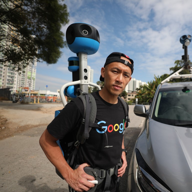
Raf Ho Man-fung is a Hong Kong celebrity whose name nobody knows.
Whether he is driving down the street in the centre of town, hiking up in the hills or striding round one of the city’s parks, it’s not long before people stop to stare, nudge each other and point, and fumble for their smartphones so they can snap a picture.
Such is the price of fame when you are Google’s chief Hong Kong camera carrier – or Street View operator, in official parlance – tasked to patrol the territory’s nooks, crannies and outer fringes with an 18kg (40lb), 360-degree Trekker camera system strapped to your back, looking something like an extra from Star Wars.
Street View came to Hong Kong in March 2010, giving new life to the city on Google Maps by creating a pictorial record of just about anywhere a vehicle could be driven. Since then, the team of three operators (the other two wish to remain anonymous) has been almost continuously colouring in the blanks: tramping around deserted New Territories villages, delving into the less public recesses of the urban maw and, of course, reshooting parts of the city that have changed substantially due to new construction projects.
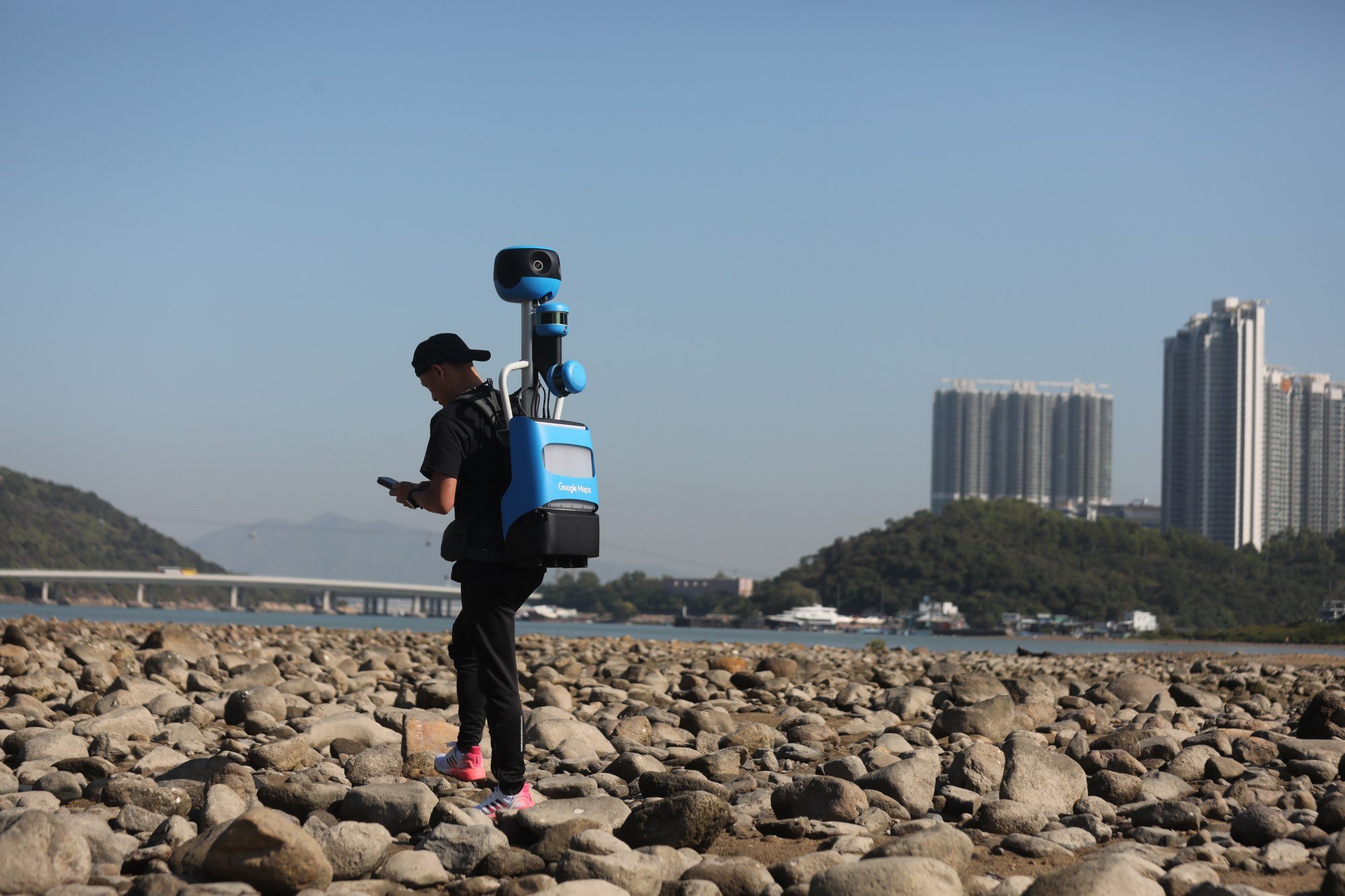
“The weather in the past couple of months has been perfect for shooting – I’ve been out just about every single day,” says Ho, a fit 38-year-old Sha Tin native.
“It’s really a never-ending project. There’s always somewhere in Hong Kong that’s changing, especially the roads, and sometimes when the footage we’ve taken isn’t up to scratch we need to go back and do it again. We can’t shoot when it’s raining and obviously not if a typhoon’s blowing. So we’re usually out filming most days if the weather allows.”
Travelling to Thailand during Covid-19: four visitors on how it’s going
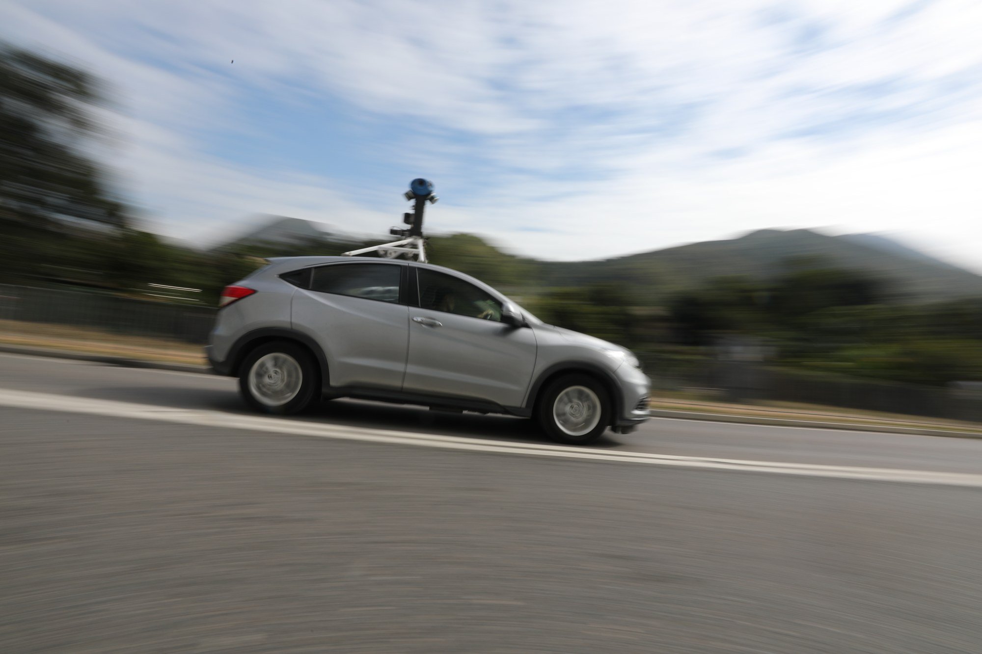
While legs are the only option for the operators in the more remote rural areas, on roads they mount their camera atop a Honda Vezel subcompact SUV, especially licensed by the government because of its height.
Each of the system’s seven high-resolution cameras points in a different direction, allowing it to create an immersive 360-degree panoramic view. At walking speed, photos are taken around every two seconds.
With one eye on their smartphone’s GPS, the other looking at the way ahead, a Street View operator’s “customer-facing” job that combines some of the elements of a busker with a flag-toting tour guide presents more than a few challenges.
In Norway, pranksters dressed in scuba gear lolloped along behind an operator and in more than a few countries, Google has had to blur cheeky spectators who’ve grabbed the chance to expose their posterior to the camera. At other “sliding door” moments, operators have caught marriage proposals on film, and been held up by a herd of reindeer.
“We always make sure we keep a respectful distance from people, whether it’s in town or out in the country,” says Ho, who has been contracted to Google since 2013. “I’ve never had anyone who’s got upset – there’s been lots of pointing and selfie-posing, but that’s about it.
The Hong Kong team is but one cog in the vast tech engine that is the Street View global updating project, which is run from Singapore by Nishant Nair, who is responsible for documenting the more than 80 countries and territories that can be explored on Street View.
“We’ve come a long way on Google Maps since the launch in California over 16 years ago, when it started as a side project by [Google co-founder] Larry Page which was designed to help people explore different places,” Nair says.
“We’ve evolved from simple navigation that just gets you from point A to point B, to something that helps you discover and enjoy more of the world. Street View has been a big part of the journey. We consider imagery to be the foundation of the entire mapmaking process, making it possible to build all of the features that people find useful on Google Maps. Without it, we wouldn’t be able to add critical details like roadways, buildings and addresses, and even speed limits and business names.”

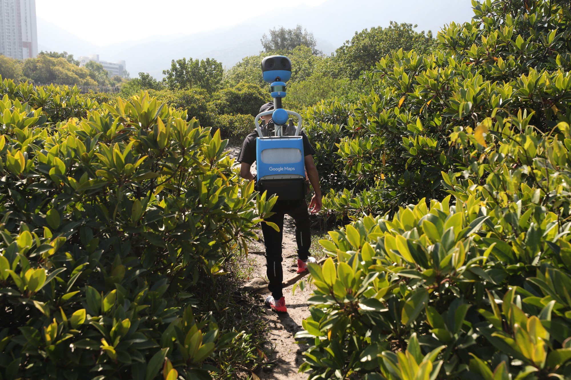
In Hong Kong, the project has ranged over thousands of kilometres of roads and trails, including 600km (370 miles) filmed on foot by the three operators.
“People [who don’t know Hong Kong] may think of it as a hyper-urban environment but they are surprised to discover it has incredible elevation and hiking trails all over its different terrains,” Nair says. “Our operators have done a brilliant job mapping complex routes and hundreds of stairways in order to help build a more comprehensive map.”
He explains that once photographs have been taken, they go through computer processing to make them ready for use on Google Maps.
“This includes stitching the still photos into panoramas and applying face-blurring technology that helps make sure that passers-by and [car] licence plates in the photographs can’t be identified. Once in Google Maps, you can visually explore and navigate a neighbourhood through these street-level photographs, moving up and down roads, or looking around in 360 degrees.”
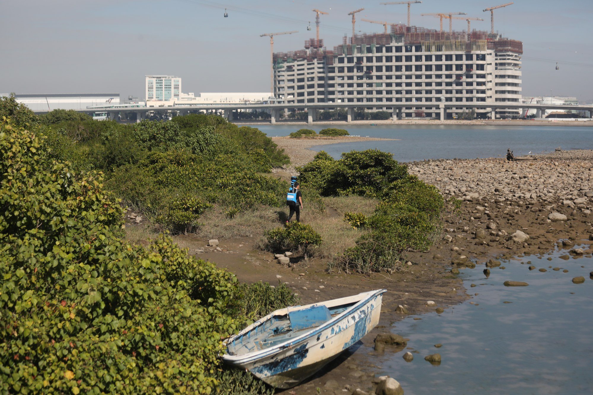
Despite the hi-tech, Google staff have sometimes found themselves hijacked by Mother Nature. In the early days, operators found dew sometimes collected on the camera overnight.
“After some experimentation, we found that the simplest answer was just to pull a large sock over the camera, but every so often someone would start driving without remembering to remove the sock, which meant we couldn’t use that imagery,” Nair says.
“That led to an ‘automatic sock detection’ algorithm, which would alert drivers if they’d left the sock on, and the great-grandchild of that code lives on, in a sense, in a machine-learning model which alerts us when the cameras may have been unintentionally blocked by something. Even today, we still call it a ‘sock run’.”
Don’t mention Borat: a visit to Kazakhstan, country few tourists see
In addition to showing parts of the world many people may never have a chance to visit, Street View images help Google Maps model a world that is changing by the day.
“All in all, this is a dream job, and I am so grateful to be able to have an effect on the lives of so many Google Maps users across the globe.”

