On Malaysia’s toughest trek, through Malayan tiger’s last refuge, the rainforest of Taman Negara national park, a sweaty climb and muddy descent
- It pays to go the long way through the rainforest of Taman Negara national park, one of Southeast Asia’s last wildernesses and home to tigers and other wildlife
- Climbing the park’s highest mountain is a wet, muddy test of endurance, but the journey brings unparalleled natural beauty and a sense of euphoria
I don’t want to believe Piyan when he stops to tell me that I have just missed the proverbial needle in a tropical haystack.
One of my guides and a Batek Orang Asli – the original peoples of Malaysia – he claims he has just glimpsed the orange back of a Malayan tiger, which then shot off into the jungle. It can’t be possible; I was just a few metres behind him.
Piyan walks me back to point at a sizeable footprint with four very fresh claw marks indented into the soil. I gulp, and believe. As we return silently to the trail and catch up with the rest of our group, I obsess over the near miss, an encounter I’ve craved for the 14 years I have spent scouring Malaysia’s remaining jungles.
“Consider yourself extremely lucky nonetheless,” says guide Angie Ng. “The last tally found evidence of only 60 tigers living in the 4,343 square kilometres [1,680 square miles] of Taman Negara.”
Sixty-year-old Ng is the only female professional mountain guide in Taman Negara, the largest national park in Peninsular Malaysia. The park is about 230km (140 miles) northeast of the nation’s capital, Kuala Lumpur.
She is leading our group of six adventurers through one of Southeast Asia’s last remaining wildernesses, on a 71km trek from Kuala Tahan to Merapoh, over Gunung Tahan.
At 2,187 metres (7,180 feet), Gunung Tahan – literally Mount Endurance – is the highest peak in Peninsular Malaysia as well as in the Tenasserim Hills chain – a 1,700km-long granite ridge older than the Himalayas that runs from mid-Thailand all the way down to southern Peninsular Malaysia.
Gunung Tahan is accessible only on foot and is a last refuge not only for the Malayan tiger but also wild Asian elephants, sun bears, tapirs and other elusive wildlife.
This seven-day trek cuts across one of the world’s oldest rainforests and is an adventure suited to social distancing in pandemic times. Where else in Asia can travellers find themselves practically alone in a 130-million-year-old primary rainforest for a week?
Although an annual average of 20,000 people climb Mount Kinabalu, Malaysia’s highest peak, in the state of Sabah, less than 10 per cent of that number attempt an ascent of Gunung Tahan.
A trip to Tahan is also far cheaper than one to Kinabalu – a guide for a group of up to 10 hikers costs 1,820 ringgit (US$400) for the week, excluding food, and the same amount pays for a porter to carry up to 15kg (33lbs) of supplies.
Because of its length and the fact that it’s self-supported, the Gunung Tahan climb is considered the most challenging in the country and completing it is seen as a worthy achievement within the Malaysian hiking community.
One of the best places to see wild tigers in India, a conservation success
Mostly because of time constraints, many prefer the five-day round trip from the town of Merapoh, through the northwestern entrance to Taman Negara. This includes a 40-minute jeep ride from the park headquarters to the trailhead, at Kuala Juram, about 20km from the peak.
“But that route is very steep and pretty bad on the knees,” says Ng, who has hiked Gunung Tahan from different routes at least 30 times. “By going [northwest] from Kuala Tahan, one traverses the whole western side of Taman Negara,” she explains. “Not only is the scenery much more diverse and beautiful, but one has more time to get used to the terrain and better tackle every step of the hike.”
Hikers who start and end in Merapoh miss incredible views over kilometres of uninterrupted, broccoli-head-like primary rainforest and larger-than-life awanano (seas of cloud) that stretch between the 1,635-metre Gunung Reskit and the peak of Gunung Tahan. Ng also implies that no route to the peak is a walk in the park.
Our first day begins with a short long-tail boat hop from Kuala Tahan to the national park’s headquarters, at the confluence of the Tembeling and Tahan rivers. The cluster of concrete and wooden buildings and pavilions includes the Mutiara Taman Negara Resort, the park’s only hotel, and the registration office where visitors pay a symbolic entrance fee of 1 ringgit (US$0.20) plus a 5 ringgit camera fee.
Before we go any further, park rangers note down each of our possessions, counting every piece of equipment and clothing zealously, paying particular attention to plastic bags – including those containing instant coffee and tea sachets.
We are advised that everything that goes in must be brought out of the jungle and that we will be inspected again upon exiting at Merapoh (which will prove to be the case).
An 8km, relatively flat track follows the river to Camp Melantai, our first overnight stop, which is little more than a patch of treeless, reddish soil with forest on one side and the river on the other.
The destination for day two is Camp Putih, beside a sloshing river that serves both as a source of drinking water and a bath. Two ropes slung between three tall trees by a generous previous visitor are the only facility provided.
Having spent a good nine hours walking up and down the 27 minor hills that make up the Bukit Malang massif, and being drenched in sweat, we want to jump straight into the cold water. But the animal spirits advise against it.
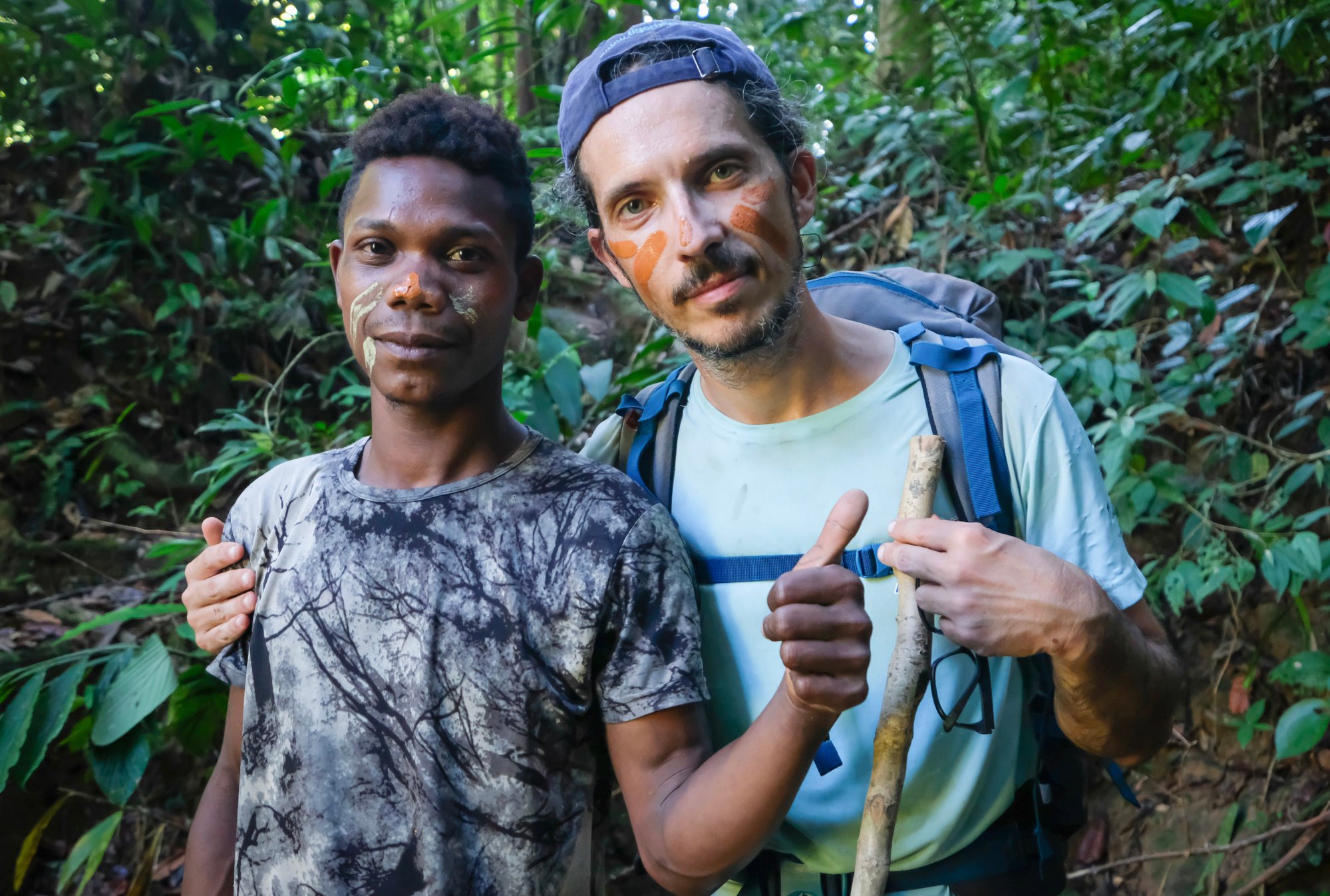
“Please don’t take your bath before 8pm,” says Man, the oldest of the three Batek porters and guides whom Ng relies on for their connection with a forest world we could never fully understand.
Classic hikes in Hong Kong outdoor lovers must do
With a pensive frown Man tells me in Bahasa Malaysia – the official language – that a murai (the local name for the white-rumped shama bird) flew by to warn him that if we bathe before dark, we’ll have a night and day of terrible rain.
As if on cue, thunder rumbles in the distance. Man quickly extracts a piece of agarwood from his backpack and burns it. “The smoke,” he says, “will help keep the storm at bay.”
Again, I decide to believe: I live in an overdeveloped city where no one cares to listen to spirits, or knows anything of the primal world these young men inhabit.
After 8pm, we bathe in pitch darkness, and the night’s insect philharmonic buzzes on until daybreak, uninterrupted by any rain.
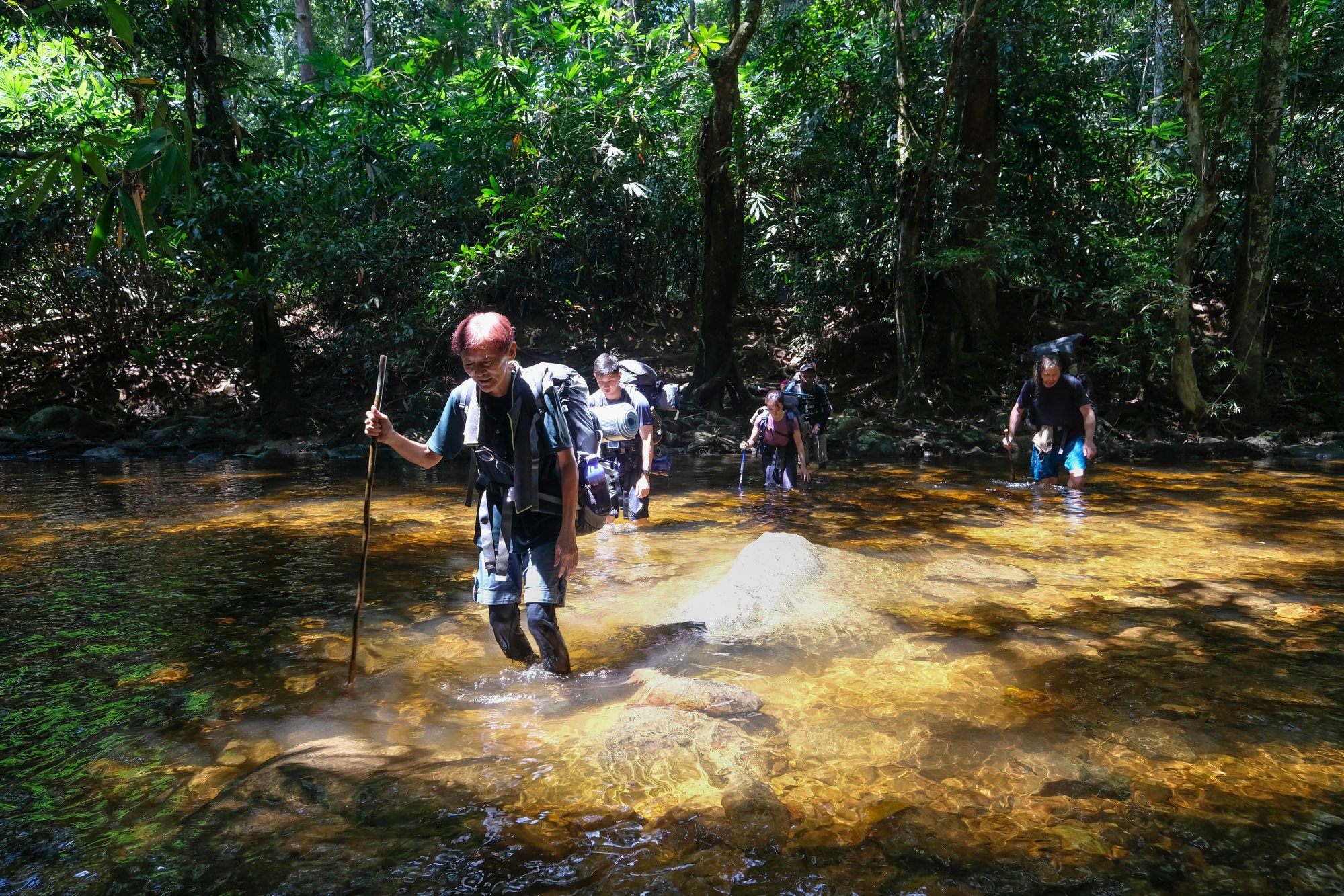
The next day, thanks to the impeccable weather, the most dreaded part of this trek – fording the Tahan river 12 times en route to Camp Teku – proves to be an almost pleasant ordeal. The water is low and reaches only up to our hips, allowing us to walk across without our backpacks getting wet, the Orang Asli showing us how to cross the slippery rocks.
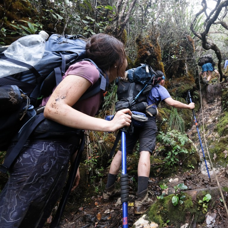
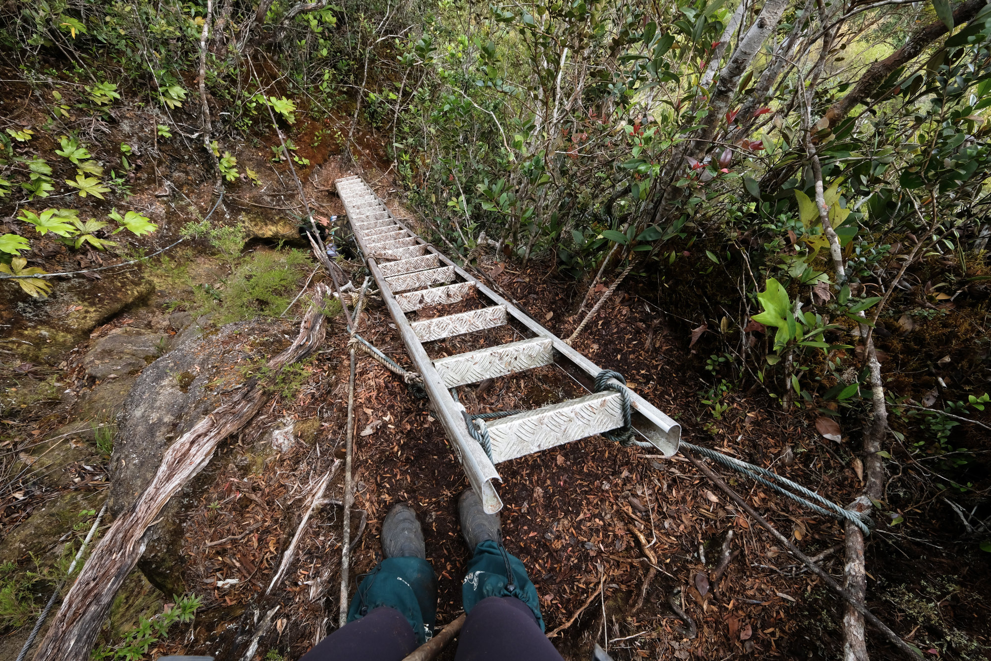
The higher we ascend, the steeper the trail becomes, until we have to hold on to anything we can. Aluminium ladders tied to the rock face with ropes help us climb the jigsaw range that leads up to Gunung Reskit.
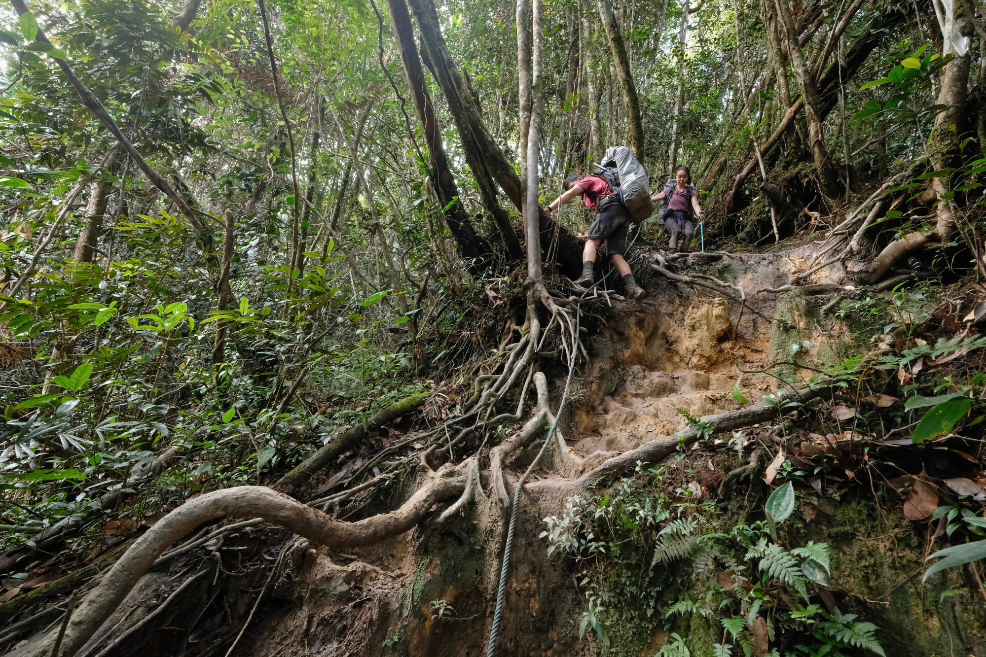
Where it’s never warm enough to dry, the forest is beautifully mossy, but elsewhere the path consists of thick mud that makes the going slow, uncomfortable and eternally soggy.
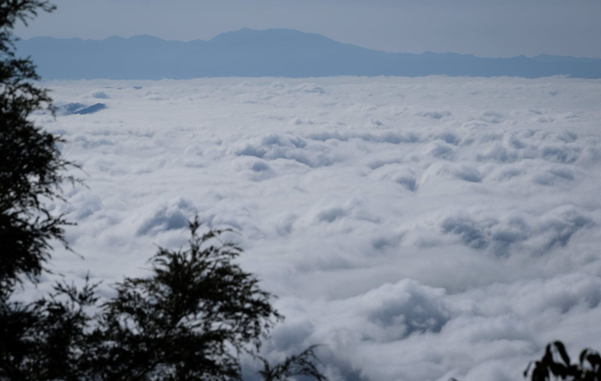
But the murai’s promise holds, and we emerge into sunlight at a mountain ridge with a carpet of clouds on one side and, on the other, unobstructed views of rainforest so remote it has remained untouched for millions of years.
It’s mid-afternoon when the mountain trail again becomes rocky, and we slog past Gunung Gedung (2,066 metres) and the “plane crash site”, where the twisted remains of a Mirage fighter jet lies amid the granite. On May 4, 1972, Australian Flying Officer Lloyd Manning Smith crashed to his death here while conducting a radar-navigation exercise out of Butterworth airbase, in the northern state of Penang.
At sunset, having set up camp on the sloping rocky ground of Camp Padang, we get our first glimpse of Endurance, its gleaming peak beckoning to us in the waning light.
We reach the peak at noon on the sixth day, as the high-altitude sun cooks our brains, but thick mist covers the view almost entirely. The feeling of euphoria is short-lived, as we have to rush down to meet the jeep that will be waiting for us at the end of the following day. Without mobile phone reception, we cannot let the driver know of any hold-ups.
There is no way we could camp in the thick mud and tangled tree roots that pass for a trail along the next part of the hike, so we push on for a couple of hours after sunset to reach the next dedicated site. Inching at a snail’s pace as we choose our steps carefully by torchlight, it soon becomes clear that striding directly through the mud is the lesser evil.
Once at Belumut camp – a soft patch of earth surrounded by mud – I spend the best part of an hour trying to clean my legs and feet with leaves and a stick.
The next morning, we continue through the sucking mud to Camp Kubang (1,375 metres), which is protected by tall trees with fans of exposed roots and is close to a small creek, with water for washing.
As we descend further, we meet hikers on their way up from Merapoh. They congratulate us on our achievement, and my pride turns to embarrassment when I realise my hiking trousers are torn badly and my toes have pierced the front of my rubber tapper shoes.
Once we reach the river again, at Kem Kor (685 metres), I strip to my shorts and wash away the mud with a pleasure I have rarely experienced. The worst seems over – it’s only six relatively flat kilometres to Kuala Juram, where our jeep will be waiting.

