Advertisement
Advertisement
Japan
Get more with myNEWS
A personalised news feed of stories that matter to you
Learn more
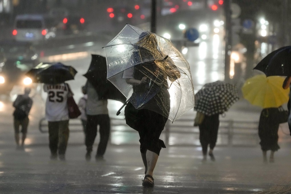
Pedestrians struggle against heavy rain and strong winds in Japan amid a typhoon earlier this month. Photo: EPA-EFE

Super Typhoon Hinnamnor, world’s strongest storm of 2022, bears down on Japan and China

  • Hinnamnor is packing sustained winds of about 260km per hour – making it the strongest storm of the year, according to the Japan Meteorological Agency
  • The Hong Kong Observatory said the typhoon was forecast to move west-southwest towards the Ryukyu Islands from Japan’s Okinawa
Japan
The strongest global storm of 2022 is barrelling across the East China Sea, threatening Japan’s southern islands and risking wild winds along China’s east coast.

Super Typhoon Hinnamnor is currently packing sustained winds of about 160 miles (257 kilometres) per hour and has gusts over 195 miles per hour, according to the US Joint Typhoon Warning Centre. The maximum significant wave height is 50 feet (15 metres).

Hinnamnor would be the strongest storm of 2022 based on the maximum sustained wind speed recorded at this point, according to an official at the Japan Meteorological Agency.

Some of the islands are remote with only several hundred residents, but the region as a whole has around 1.4 million people, and the Okinawa mainland hosts most of the US military bases in Japan.

The weather agency expects the storm will strengthen to its top category “violent” from Wednesday evening, with gusts up to 270 kilometres per hour.

The intense winds from Wednesday may cause “some houses to collapse”, the Okinawa unit of the national weather agency said. Heavy rain and high waves will also hit the region.

“Please exercise serious caution for violent wind. Take precautionary steps such as moving to strong buildings before strong winds begin,” the agency said.

The Typhoon Haiyan survivors who grew up and joined the climate battle

Japan is currently in typhoon season and is hit by around 20 such storms a year, routinely seeing heavy rains that cause landslides or flash floods.

The Hong Kong Observatory said at 10am that the typhoon was centred about 230 kilometres east of Japan’s Okinawa and is forecast to move west-southwest at about 22 kilometres per hour towards the Ryukyu Islands.

The US JTWC forecasts that the meandering super typhoon will lose some of its strength over the coming days.

Things are somewhat quieter over in the Atlantic, where a sustained period of calm is putting the area between Africa and the Caribbean, known as Hurricane Alley, on course for its quietest August – typically the start of the hurricane season’s most active phase – in 25 years.

The expanse of ocean has only had two stormless Augusts in more than seven decades of record keeping – one in 1961 and the other in 1997, said Phil Klotzbach, lead author of Colorado State University’s seasonal storm forecast.

Additional reporting by Associated Press

Post