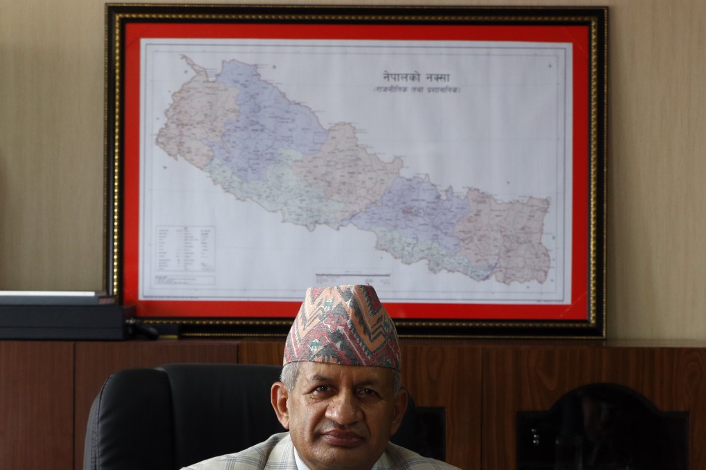
Nepal lawmakers endorse map including area disputed with India
- Move signals a hardening of Nepal’s position over a decades-long border row with India
- Latest dispute began over India’s inauguration last month of a Himalayan link road built in a disputed region

Nepal’s Parliament on Saturday overwhelmingly approved a constitutional amendment to change the nation’s political map to include territory claimed by both India and Nepal.
The voting follows the government’s issuing of a new map last month that showed the disputed territory within its borders.
That move was strongly criticised by India and soured relations between the South Asian neighbours. The constitutional amendment is likely to further strain ties.
House of Representatives Speaker Agni Kharel said all 258 members who were present voted in favour of the proposal. To pass, it needed approval from two-thirds of the 275 lawmakers.
“This is in favour of the people and national interest. This was unanimous agreement with no opposition,” Prime Minister Khadga Prasad Sharma Oli said. “It is not just the Parliament, but the entire nation is behind this.”
