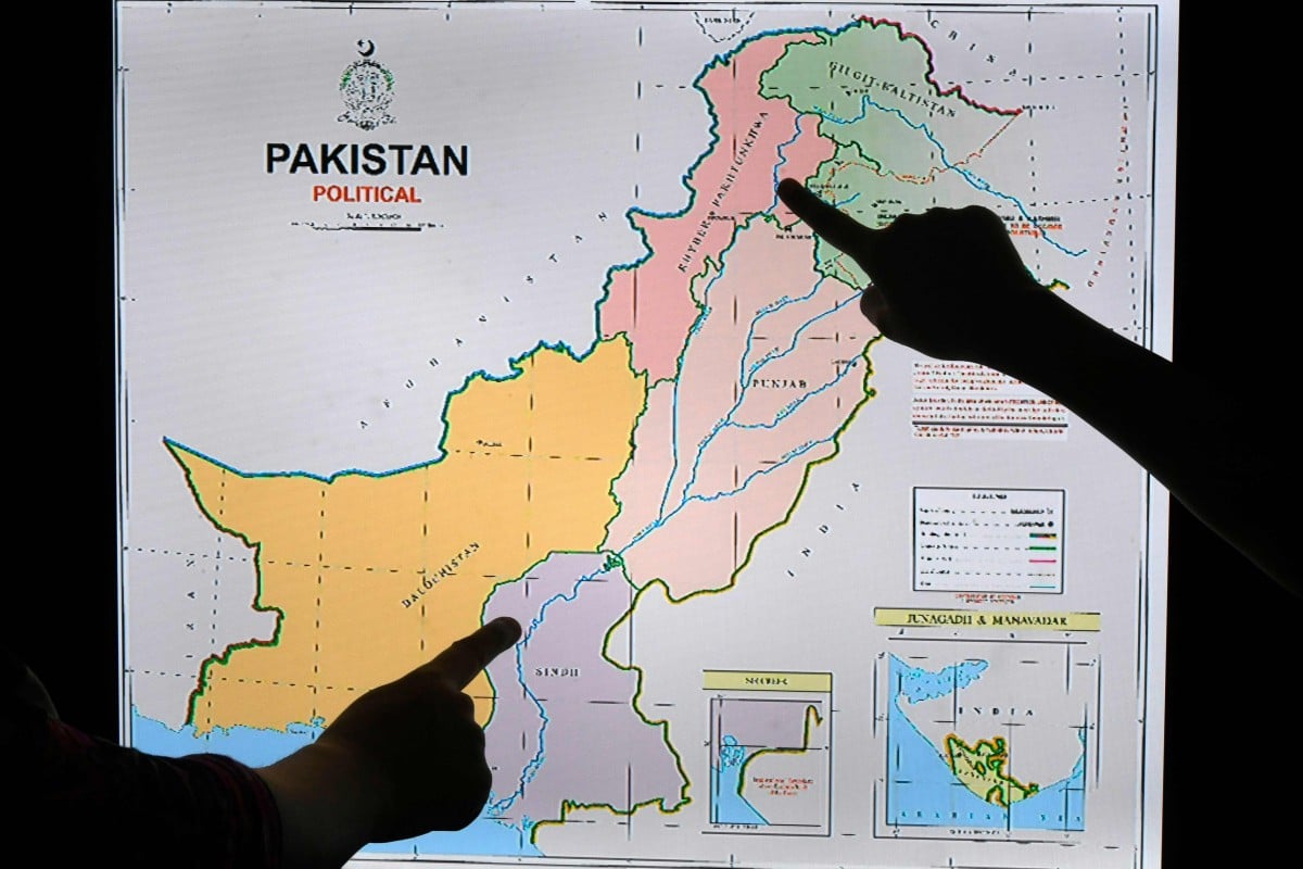
Pakistan claims all of Kashmir in new map, connects Line of Control with China’s border
- The map connects the Line of Control with China’s border to assert Islamabad’s claim to Siachen Glacier
- New Delhi slammed the move as ‘an exercise in political absurdity’, saying these ridiculous assertions have no legal validity
Prime Minister Imran Khan introduced the new map after its approval by the Cabinet and endorsement by opposition parties.

Anniversary of loss of special status for Indian-held Kashmir sparks protests on Pakistan side
“This political map of Pakistan, which we are unveiling to the world, firstly represents the desires of the Pakistani people, and the principled stance of the people of Kashmir, and rejects the illegal step India took on August 5 last year,” he said.
The disputed territory is shown in green colour on the map, in which the Line of Control demarcation has been connected with the Chinese border to assert Pakistan’s claim to the Siachen Glacier. The map also reflects Pakistan’s position on Sir Creek, a separate maritime boundary dispute with India.