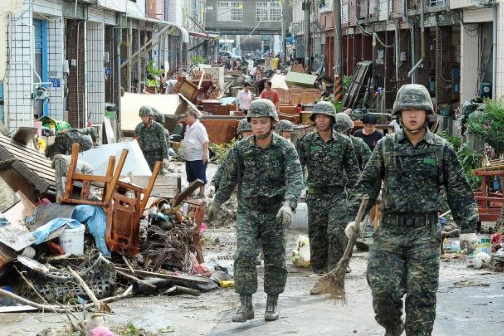
Drenched once, Taiwan braces for return of tropical cyclone Tembin
Officials warn Tembin could come back after causing havoc in south the first time around

Taiwanese weather forecasters warned tropical cyclone Tembin could hit the island a second time this week after unleashing the worst downpour in more than a century on the island's southern-most tip.
Tembin swept across southern Taiwan on Friday before moving out to sea, where it was packing winds gusting up to 101 kilometres an hour.
"There is roughly a 50 per cent risk Tembin could affect Taiwan again on Monday or Tuesday depending on its path," said forecaster Lin Bin-yu, from Taiwan's Central Weather Bureau, which classified Tembin as a severe tropical storm.
The Hong Kong Observatory and mainland forecasters classified it as a typhoon.
Tembin's course hinged partly on Typhoon Bolaven, which was not expected to head directly to Taiwan, Lin said. Bolaven was moving towards southern Japan and is predicted to hit Okinawa this afternoon.
Tembin unleashed torrential rain in southern Pingtung county that was described as the worst downpour in more than a century. Weather bureau data showed Pingtung as a whole had received 724 millimetres of rain since Wednesday, while the township of Hengchun saw rainfall of more than 600 millimetres on Friday alone.
"In Hengchun, it's a record amount of rainfall since 1896," said Hsieh Ming-gung, a forecaster with the weather bureau. Hengchun has a population of about 30,000 and forms Taiwan's southern-most tip.