China’s BeiDou satellite system more visible from space than its US rival GPS, study finds
- Researchers say a spacecraft travelling at or below an altitude of 2,000km would be able to see 50 per cent more from the Chinese constellation
- They concluded that the most precise information could be accessed by using a combination of signals from the two navigation systems
Researchers from the National Space Science Centre in Beijing found that a spacecraft travelling at or below an altitude of 2,000km (1,200 miles) would be able to see 50 per cent more BeiDou satellites than those from the Global Positioning System at any given time.
“It is possible to get global coverage and an all-time positioning service for space applications using the BeiDou satellite navigation system alone,” the team led by Wu Chunjun wrote in a peer-reviewed paper published in the journal Geomatics and Information Science of Wuhan University on Monday.
Precise location information for spacecraft and satellites has traditionally been obtained using tracking stations on the ground – but sometimes there is no ground station.
The information is critical for a space mission since a tiny mistake in positioning could lead to a miscalculation in the orbit of a spacecraft or other problems.

According to the study, China has been using GPS for its space missions for years. Chinese space scientists developed a GPS signal receiver and tracking software to improve its accuracy so that they could locate spacecraft with a margin of error of no more than 3cm.

01:23
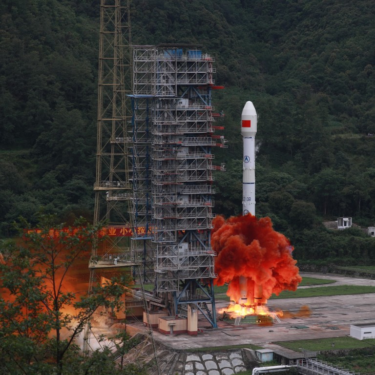
China launches last piece of BeiDou Navigation Satellite system into orbit
It is becoming more popular – even some of the newer iPhone models use BeiDou services – but not in space. According to the study, that is because some of the satellites launched in the early stage of the network used older technology.
“There were various concerns” about whether BeiDou could be used in space, the paper said.
Wu’s team analysed data collected by a Chinese weather satellite that can receive both GPS and BeiDou signals, to see how accurate the system was. They found that while there were problems with the older BeiDou satellites, when used in combination with the newer ones the performance was significantly better.
But they said the main advantage of the BeiDou system was that considerably more of its satellites were visible to a spacecraft in near-Earth orbit. The number ranged from six to 29 for BeiDou, versus six to 15 for GPS, the study found.
The space-based navigation system would allow a missile to change course autonomously rather than have its flight path programmed before launch, he added.
Apps claiming to use Chinese satellite navigation system Beidou see a surge in downloads, but they might just use GPS
However, Wu and his team concluded that the most precise information could be accessed by using a combination of BeiDou and GPS signals. They said a spacecraft equipped with a receiver that worked with both systems would mean more guiding satellites were visible – over North America, for instance, the number could even double.
Future upgrades of signal receivers and software could see the two systems being used together for deep space missions such as journeys to the moon and beyond, the paper said.

