Typhoon In-fa set to bring more heavy rains to China days after Henan floods
- Forecasters say it could bring up to 300mm (11.8 inches) of rain when it hits Shanghai and the Yangtze Delta and is expected to reach super typhoon status
- In-fa’s landfall will come days after its airflows helped caused the devastating floods that hit Henan province this week

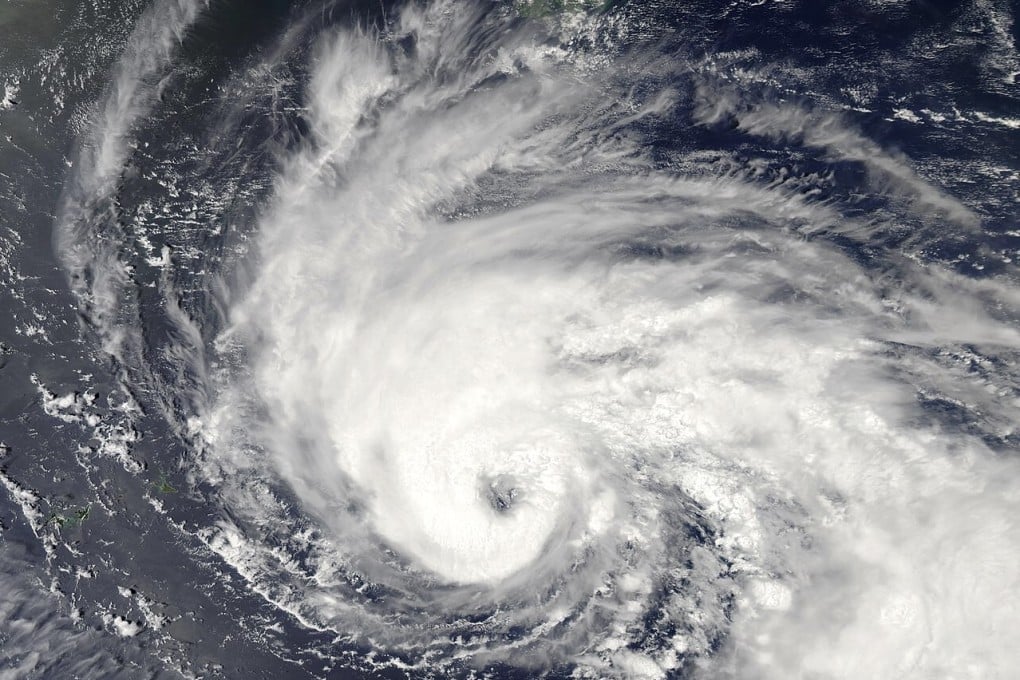
Typhoon In-fa is expected to make landfall in eastern China this weekend with forecasters warning that up to 300mm (11.8 inches) of rain could fall in some areas between Saturday and Monday.
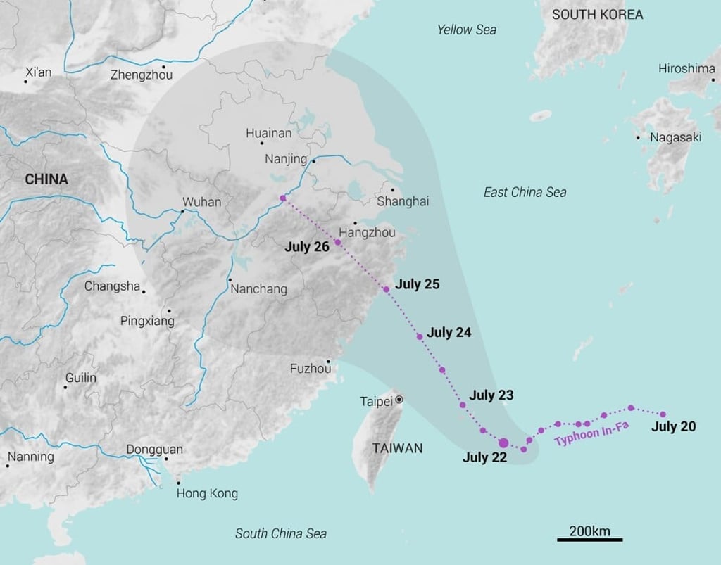
Zhejiang’s provincial meteorological centre said In-fa was expected to develop into a super typhoon when it moves into the southeast of the East Sea on Friday, with maximum sustained winds of at least 185km per hour (115mph).
It may weaken to typhoon or severe typhoon status when it makes landfall on the east coast, the centre said, but was still expected to bring heavy rainfall and wind speeds of over 100km per hour to the Yangtze Delta and southeastern provinces such as Fujian and Jiangxi.

02:13
Flood-hit residents of China’s Henan province rescued after being trapped for three days
The National Meteorological Centre said that up to 100mm (3.9 inches) of rain could fall within an hour in some areas, and the accumulated precipitation between Saturday and Monday could reach 300mm in Zhejiang, Shanghai, southern Jiangsu and southeastern Anhui.

As of 2pm on Thursday, In-fa was located 690km southeast of Wenling in Zhejiang, moving northwest at a speed of 5 to 10km per hour (3 to 6mph). It had a radius of 200km (124 miles) and was carrying maximum sustained winds of 144kph (89mph), with gusts of up to 180kph.