Advertisement
Advertisement
Science
Get more with myNEWS
A personalised news feed of stories that matter to you
Learn more
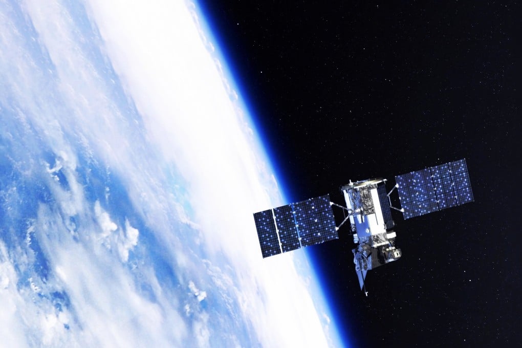
China has a number of GEO satellites in orbit that serve a variety of purposes, including communications, navigation and remote sensing. Photo: Shutterstock Images

Study says US spy satellites approaching China’s high-value space assets a ‘threat to security’

  • Chinese researcher says US Air Force’s GSSAP satellites repeatedly approached some of China’s satellites in geostationary orbit in 2020-21
  • Study suggests China must hasten development of a situational awareness network that integrates space and ground-based sensors
Science
US spy satellites carried out at least 14 close-in reconnaissance missions on Chinese high-orbit satellites in less than two years, according to a study by researchers in China’s space programme.

From February 2020 to December 2021 the US Air Force’s Geosynchronous Space Situational Awareness Programme (GSSAP) satellites repeatedly approached some of China’s most valuable and advanced satellites in the geostationary orbit (GEO) and came alarmingly close, according to the study.

“The frequent close approaches of the GSSAP satellite to Chinese high-value space assets pose a serious threat to their security,” said the team led by researcher Cai Sheng of the Changchun Institute of Optics, Fine Mechanics and Physics. Their paper was published in the Chinese-language journal Infrared and Laser Engineering last month.

“In a series of space attack and defence technology tests, the US military has revealed their ability and intention to disrupt China’s use of space.”

03:23

China to train international astronauts for future trips to space station

China to train international astronauts for future trips to space station

Close encounters in space are usually kept secret because the military may view such information as sensitive or classified, and disclosing it could potentially reveal their own abilities or vulnerabilities to other countries, according to a Beijing-based space scientist who was not involved in the study.

“Disclosing such incidents could potentially escalate tensions between countries and lead to diplomatic or even military conflicts,” said the scientist who asked not to be named because of the sensitivity of the issue.

It is not clear why China has chosen to release the information now. The Changchun-based institute, a subsidiary of the Chinese Academy of Sciences, has a long history of developing laser technology, remote sensing and space optics for China’s space programme.

China’s satellite navigation system gets a stronger foothold in the West

“They are well suited to investigating the GSSAP satellite and its capabilities,” the scientist said.

China has a number of GEO satellites in orbit that serve a variety of purposes, including communications, navigation and remote sensing.

GEO satellites are positioned at a fixed point above the Earth’s equator, which means that they remain in the same location relative to the ground at all times.

This makes them ideal for applications such as communications and broadcasting, where it is important to maintain a constant connection with users on the ground.

GEO satellites are generally more expensive to launch and operate than low-Earth orbit (LEO) satellites. Many countries use GEO satellites for military communications and surveillance, as well as for critical infrastructure such as banking and finance systems.

A GSSAP satellite conducted a fly-around targeting Tianlian 2-01, a satellite that is part of China’s Tianlian space tracking and data relay system on February 26, 2020, according to the Chinese study.

The Tianlian system provides communication links between spacecraft in orbit and ground stations on Earth and supports China’s human space flight programme and other space activities.

Two days later, the same satellite approached BD-2 G8, a satellite in the BeiDou Navigational System (BDS), according to Cai’s team.

BeiDou is China’s equivalent of the American GPS system, providing positioning, navigation and timing services to users in China and other parts of the world.

Star swallows planet in first glimpse of Earth’s likely end

Other incidents reported in the study relate to SJ-20, a high-throughput communication satellite launched by China in 2020. SJ-20 was designed to provide broadband internet access to users in China and other parts of Asia.

Different GSSAP satellites approached SJ-20 four times over an 11-month period. In the closest encounter on May 4, 2021, the Chinese and US satellites came within a record 9.54km (5.9 miles), the study said.

The study also alleges the US satellites spied on other Chinese targets, including TJS-2, TJS-3, and TJS-5, which are all part of China’s Tongxin Jishu Shiyan (TJS) experimental communications satellite series.

These satellites are used to test new technologies related to communications satellites, such as advanced antennas and signal processing techniques.

All of these satellites are high-value assets to China because they support critical national security, economic and scientific objectives, according to Cai’s team.

Computer simulation conducted by Chinese scientists suggests a US GSSAP spy satellite could have taken high-resolution images of China’s SJ-20 communication satellite at close proximity. Photo: Changchun Institute of Optics, Fine Mechanics and Physics

GSSAP satellites are the newest generation of space surveillance satellites used by the US Air Force to monitor and track objects in geosynchronous orbit.

They are equipped with high-resolution optical cameras and advanced electronic surveillance equipment that allow them to take pictures and listen in on radio signals from other satellites, according to the Chinese study.

The high-resolution optical cameras on the GSSAP satellites allow them to capture detailed images of other satellites in GEO, including specific features such as antennas and sensors. This information can be used to identify satellites and potentially monitor their behaviour over time.

The GSSAP satellites use the position of the sun relative to the target satellite and the observer – in this case, the GSSAP satellite – to determine their approach strategy, according to Cai’s team.

It would be favourable for GSSAP satellites when the target satellite is in the “down-light observation area”, meaning the sun is behind the GSSAP satellite and shining directly on the target satellite. This allows for better imaging and reduces interference from scattered light.

Disclosing such incidents could potentially escalate tensions between countries
Beijing-based scientist

Conversely, when the target satellite is in the “up-light observation area” of the GSSAP satellite – between the GSSAP satellite and the sun – it would be unfavourable. In this case, scattered light from the sun could interfere with imaging and make it more difficult to gather accurate information about the target.

The Chinese study said the US spy satellites usually chose to approach their targets from a favourable position.

As a GSSAP spy satellite approached the SJ-20 satellite in 2021, another Chinese satellite moved into a favourable position to closely examine the US satellite, according to news reports.

If the second Chinese satellite could capture detailed images or other data about the GSSAP satellite, this could potentially provide valuable insights into its abilities and limitations.

Without giving the source of information, Cai’s team has released to the public for the first time an “engineer-friendly” data set containing estimates about the capabilities of a typical GSSAP satellite, which have been classified by the US government.

China to launch nearly 13,000 satellites to ‘suppress’ Starlink: researchers

The data included the size of the satellite’s camera lenses, the resolution of imaging sensors, its ability to detect and track other satellites and how it communicates with ground stations.

This information can be useful to other countries because it allows them to better understand the abilities and limitations of US military space assets.

By knowing what types of sensors and communication equipment are on board GSSAP satellites, for example, an opponent could develop countermeasures to hamper effective operation.

“When the GSSAP satellite’s camera is observing a target from a distance of 10km, each pixel in the image corresponds to an area on the target that is approximately 1.3cm (0.5 inches) in size,” said Cai’s team.

“This means that the camera has a very high spatial resolution, which allows it to capture detailed images of the target and identify features such as the main body of the satellite, solar panels and other payload components.”

But two newest GSSAP satellites launched last year might have major optics upgrades that afforded them new abilities, such as making observations from an unfavourable position, they added.

40:36

China’s space plans: lunar GPS, a 3D-printed moon base and soil samples from Mars

China’s space plans: lunar GPS, a 3D-printed moon base and soil samples from Mars

The study said that “due to the intense competition for space security in high orbits, it is urgent for China to research and develop key technologies, such as high-precision rendezvous and proximity operations, real-time orbit anomaly detection, target characterisation under complex lighting conditions, and multi-mode active protection”.

The high-precision rendezvous and proximity operations would allow China to manoeuvre their own satellites more precisely and avoid collisions with other objects in space.

Real-time orbit anomaly detection would allow them to quickly detect any unexpected changes in the orbit of satellites and respond accordingly.

Target characterisation under complex lighting conditions aims to better understand the abilities of other countries’ space assets, even when lighting conditions are not ideal.

Multi-mode active protection would involve using a variety of different methods, such as jamming or physical barriers, to protect their own satellites from potential threats.

China warns US against attempts to dominate outer space

The study suggests that China needs to hasten its development of a comprehensive situational awareness network that integrates space and ground-based sensors.

This could involve deploying more ground-based radar systems or developing new space-based sensors for real-time monitoring of GEO targets.

China is also developing high-power lasers that could potentially disable the sensors or communication equipment on a hostile satellite, large radar stations that could track the movements of GSSAP satellites and other objects more accurately, and AI that could operate a satellite without human intervention to respond more quickly and effectively to potential threats in space.

31