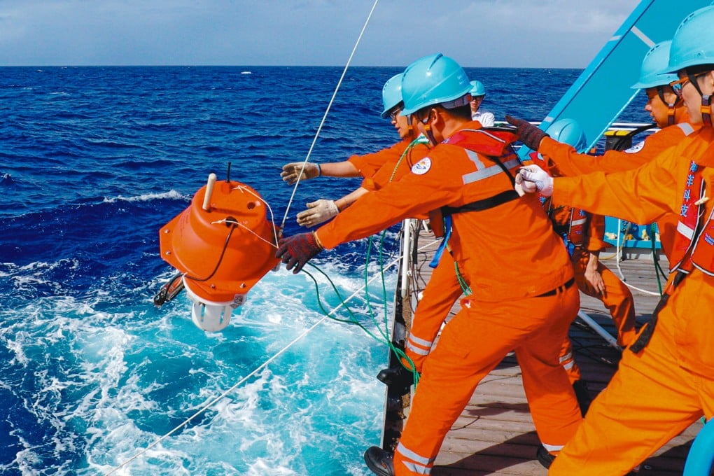
China is developing an ‘Underwater BeiDou’ network for navigation and tracking
Research team under natural resources ministry says prototypes have been built and tested but it’s not clear what stage the project is at

China is developing an ambitious undersea network to improve navigation, provide real-time environmental monitoring, and potentially track submarines and drones.
The sprawling network of floating and submerged buoys and sea floor nodes is a bid to expand Beijing’s maritime influence but also fill the gaps in existing underwater observation systems.
While it is not known what stage the project is at, the ministry has revealed that large-scale prototypes have been built and tested.
Its research team disclosed details of the project in a peer-reviewed paper in the Journal of Harbin Engineering University in February.
According to the paper, the network will be based on surface buoys, submerged buoys and seabed platforms.
Surface buoys, equipped with multiple satellite receivers, will provide real-time data via encrypted links.
Mid-depth submerged buoys will be used to track water currents and salinity shifts using acoustic profilers.
