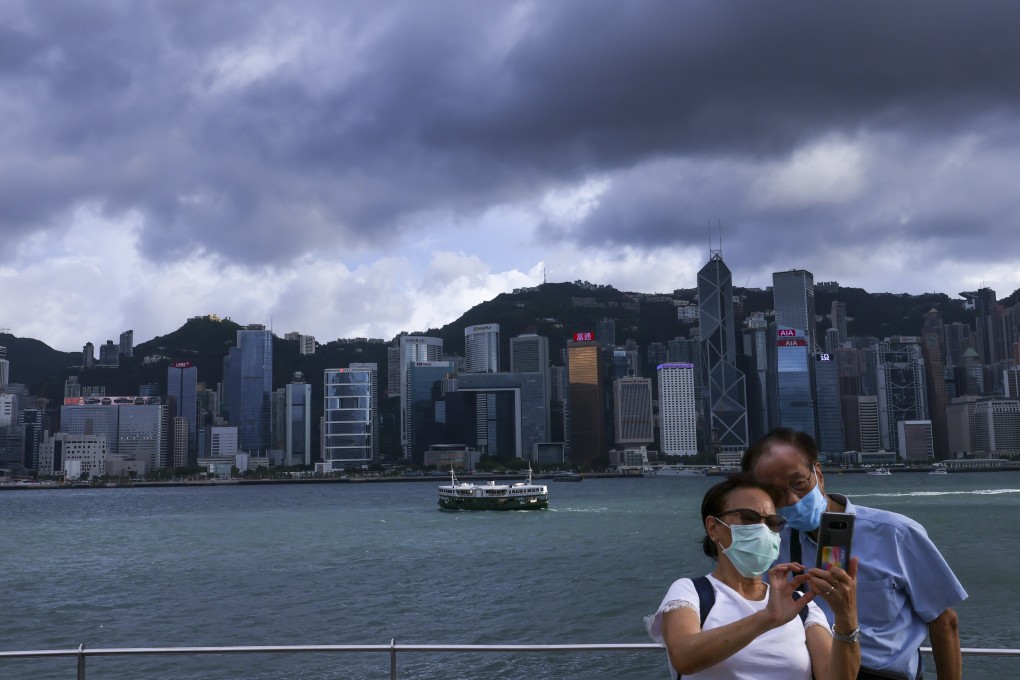
Hong Kong No 1 typhoon warning signal to remain in place until early on Wednesday, but no strong winds expected
- Tropical depression near southern part of Taiwan weakened into an area of low pressure
- A second front over the central part of the South China Sea was moving away from the city and towards the Chinese mainland

This story has been made freely available as a public service to our readers. Please consider supporting SCMP’s journalism by subscribing.
A No 1 typhoon warning signal will remain in force until early on Wednesday, the Hong Kong Observatory said, but strong winds were not expected as a tropical depression brushed the city.
Forecasters issued the signal at 4.15am on Tuesday, with two tropical cyclones in the region.
One was near the southern part of Taiwan, about 590km east-northeast of Hong Kong at 3pm, and weakened into an area of low pressure.
The other, a tropical depression over the central part of the South China Sea, was estimated to be about 630km south-southwest of the city, and was forecast to move northwest towards the vicinity of Hainan island.
The signal will remain in force overnight, and the Observatory said while winds may pick up, “the chance of having generally strong winds is relatively low”.