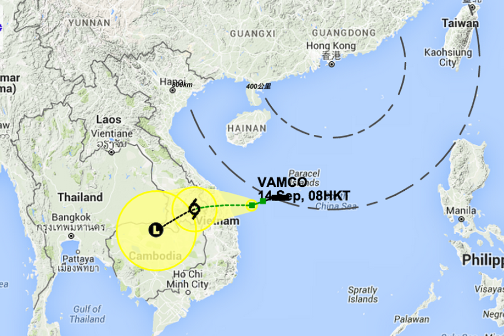
Rain, wind, and a lot of cloud: Hong Kong has a wet and wild week ahead thanks to tropical cyclone Vamco

Windy, cloudy and rainy weather is in store for Hong Kong this week as a northeast monsoon continues to linger over the Guangdong coast, coupled with a tropical cyclone now sweeping over the South China Sea.
Tropical cyclone Vamco reached within 800km of the city last night and was forecast to move in the general direction of central Vietnam throughout the day and into tomorrow.
Packing maximum sustained winds of about 65km/h at its centre, the storm will maintain at a distance from Hong Kong and weaken in pressure by Wednesday. But the city will still face a bit of wet and overcast weather as a result of the monsoon midweek.
“In the next few days, we will see strong winds over southern China. The clouds massing in the area will grow in number and there could even be a bit of rain,” Observatory scientific officer Dr Yeung Kwok-chung said. “The weather won’t be as good as the last two days.”