Advertisement
Advertisement
The typhoon was forecast to pass closest to Hong Kong in the hours between midnight and the early morning. Photo: SCMP Pictures

Typhoon Mujigae forecast closest to Hong Kong after midnight as city lashed by squally showers, strong winds
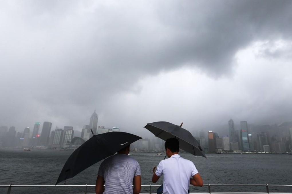
Hong Kong was hit with heavy squally showers on Saturday evening, with winds sometimes approximating gale force offshore and on high ground.

The Observatory raised the No. 3 strong wind signal due to Typhoon Mujigae earlier in the afternoon and lashing rain was expected to continue to affect the city into the night. The typhoon was due to pass closest to Hong Kong in the hours after midnight, it said.

However, the chance of a gale or storm signal No. 8 being raised is not high, said Olivia Lee Shuk-ming, a senior scientific officer with the Observatory. This was not likely to become a factor unless Mujigae shifted to a more northerly track or became significantly stronger, the institute said.

As of 2pm, Mujigae was still rated as a Severe Tropical Storm and was about 390 km south of Hong Kong, she said.

It was forecast to intensify gradually before moving west north-west at about 22km/h towards western Guangdong.

The Observatory raised the strong wing signal No.3 at 10.20am, which means that winds with mean speeds of 41 to 62 km/h were expected.

This move followed last night’s typhoon signal No 1, which was raised at 8.40pm.

MULTIMEDIA: A history of deadly typhoons to hit Hong Kong

“We are monitoring the situation closely,” said Lee. “There are already strong winds blowing over the territory due to the outer rainbands of Mujigae."

Lee said Mujigae is expected to skirt around 300 kilometres south-southwest of Hong Kong on Sunday morning with winds over the southwestern part of Hong Kong to reach gale force then, which means winds of 63 to 117 km/h.

The maximum sustained winds recorded at Waglan Island, Ngong Ping and Cheung Chau earlier this afternoon were 64, 54 and 49 km/h, with maximum gusts of 74, 72 and 66 km/h hour, respectively.

Before Mujigae, the city this year has been directly affected by just one tropical cyclone - a fifth of the annual average.

The last storm was Typhoon Linfa, which passed within 500km of Hong Kong in early July. It had a relatively minor impact and led to criticism of the Observatory for raising the No8 signal, only to lower it a few hours later.

An Observatory spokesman said earlier that the unusually low number of typhoons this year was due to the influence of El Nino - a climate cycle in the Pacific Ocean - pushing typhoons away from the city.

This article appeared in the South China Morning Post print edition as: Wet and windy weekend ahead as storm nears
Post