Advertisement
Advertisement
Hong Kong weather
Get more with myNEWS
A personalised news feed of stories that matter to you
Learn more
A La Nina could bring the first typhoon to Hong Kong in June. Photo: David Wong

Hotter, more extreme weather in Hong Kong’s climate change future, forecasters say

Milder summer and later typhoons expected for Hong Kong as La Nina given 50:50 chance in 2016
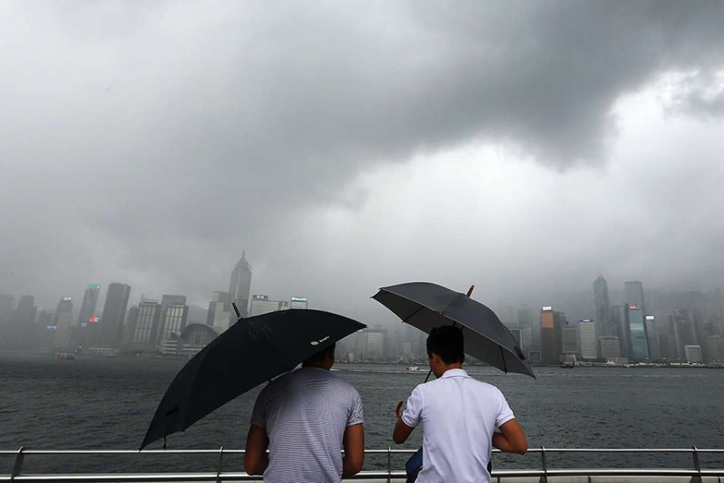
Hong Kong could be facing a relatively milder summer and late-season typhoons this year due to changing weather patterns, according to the Observatory.

The forecast is based on a 50 per cent chance that one of the strongest ever El Nino ­phenomena in years will be succeeded by a La Nina in the next couple of months, Observatory director Shun Chi-ming said ­yesterday.

READ MORE: From ice to umbrellas, Hong Kong endures most January rain since records began in 1884

“The biggest impact from La Nina on Hong Kong is usually the timing of typhoons. In the past, La Nina have usually led to more ­typhoons towards the end of the year,” he said.

“There is still some uncertainty. Right now, according to computer forecasts, we’re seeing a 50:50 chance of El Nino transitioning to a La Nina,” Shun said.

An El Nino occurs when the warm water accumulated in the western Pacific shifts east with the weakening or reversal of westerly winds, causing the eastern Pacific to warm up. A La Nina brings the opposite effect.

Both events can have a complex impact on global weather and climate but do not always follow one another. Such a see-sawing in the weather patterns was last seen in 1997-98 and 1982-83.

The Observatory’s latest prediction puts the number of ­typhoons coming within 500km of the city this year at a normal range of four to seven, similar to last year’s, with the first expected to hit as early as June. Average to above-average rainfall of 2,500mm to 3,000mm is also in store.

Shun reiterated his concern over climate change, warning of further extreme and inclement weather events and hotter temperatures ahead. He pointed out that 18 temperature-related ­records were broken last year, ­including the hottest day and ­hottest year.

READ MORE: Hong Kong sweating towards hottest year on record as El Nino and global warming take effect

Shun also admitted there was room for his department to do a better job of alerting the public to extreme weather forecasts.

The Observatory came under heavy flak in late January for failing to accurately forecast minimum temperatures on the city’s coldest day in 59 years. Temperatures dropped to 3.1 degrees, far lower than the seven or eight predicted by the forecaster.

“We understand the public has high expectations ... But forecasts cannot be 100 per cent ­correct,” Shun said. But he said the Observatory would try to ­improve its performance, including conducting research into how to use computer models to extract information on extreme weather.

“We also believe our approach in communicating forecasts to the public, including the uncertainties of the forecasts [can be improved],” he said. “Perhaps we should communicate more to the public on a specific case, how ­extreme this case is and how uncertain [or confident] we are.”

The Observatory announced a list of service upgrades yesterday including high-resolution satellite imagery, faster image updates and more location-specific weather services.

Whither the weather

El Nino and La Nina refer to the respective warming and cooling of waters over the central and eastern equatorial Pacific Ocean in what is known as the El Nino-Southern Oscillation cycle.

El Nino – There will generally be a wetter winter in Hong Kong from December to February and in the spring from March to May. Typhoons are unlikely to affect Hong Kong before the month of June.

La Nina – There will generally be a cooler autumn between September and November and over the winter. More typhoons are likely to affect the city between August and October.

Source: Hong Kong Observatory

Post