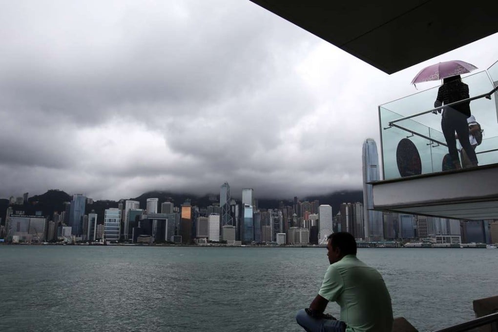
Hong Kong Observatory issues No 3 typhoon signal after tropical depression forms near Guangdong province
Government forecaster describes low-pressure area as slow moving but still bringing strong winds to city

The Hong Kong Observatory issued the typhoon signal No 3 at 10.15pm on Wednesday night as a tropical depression off the coast of western Guangdong intensified – but weather forecasters said the chances of the alert going higher were slim.
Heavy rain battered the city as the low pressure area came within 400km of Hong Kong, moving slowly west towards the Leizhou peninsula.
“Affected by the outer band of the tropical depression, we expect [the weather] will be cloudy with squally showers intensifying into heavy rain at times in the morning,” Observatory senior scientific officer Lee Tsz-cheung said on Wednesday night.
A landslide behind the Swiss Towers residential estate on Tai Hang Road, Hong Kong Island, damaged one vehicle in the early hours of Wednesday. No one was injured.
At 10pm, the tropical depression over the coastal waters of western Guangdong was estimated to be about 240km southwest of Hong Kong. Winds were strengthening gradually.
The Observatory however, said the current track of the depression suggested the chances of a No 8 signal were unlikely.
Bad weather prompted a series of other warnings on Wednesday including red flags at several beaches and a Marine Department warning to boat owners to secure their vessels at safe locations.