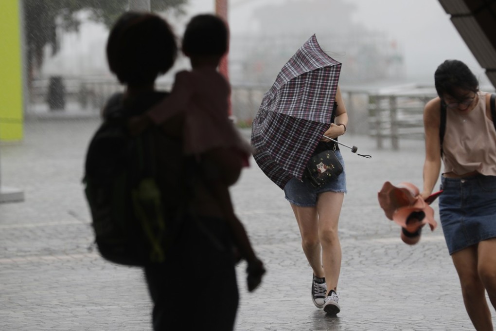
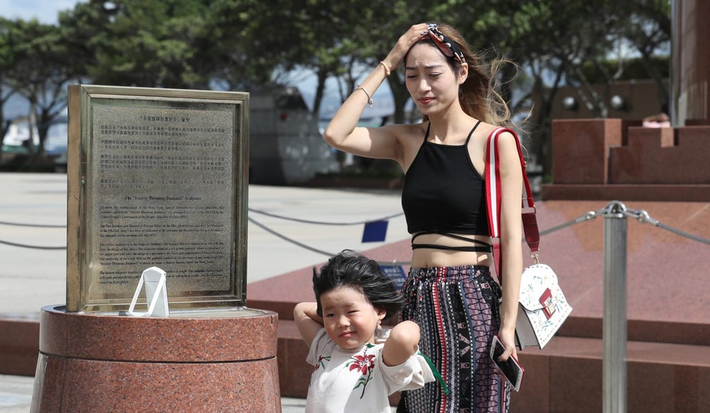
Observatory expected to issue typhoon signal No 8 ‘at or before 5.30pm’ as Merbok descends on Hong Kong
All classes suspended as tropical cyclone approaches Guangdong coast

The signal No 3 currently in force indicates that winds with mean speeds of 41 to 62km/h are expected, while a signal No8 means that winds with mean speeds of 63 km/h or above are expected, with gusts possibly exceeding 180km/h.
As of 3pm, Merbok was estimated to be about 120km south-southeast of Hong Kong. It was forecast to be moving north-northwest at about 20km/h towards the coast of Guangdong.
“According to the current forecast track, Merbok is expected to make landfall within 100km of Hong Kong at about midnight tonight,” the Observatory announced on Monday.

“Local winds will strengthen gradually during the day… As Merbok edges closer, local weather will become unsettled with occasional squally showers today. Showers will be heavy with winds strengthening further tonight.”