High tide and new moon: Hong Kong meteorologists reveal the secrets behind Typhoon Hato’s strength
It formed as tropical depression off Taiwan on Sunday yet a day later Hato was barrelling towards China with forecasted wind speeds of up to 130km/h. Meteorologists explain how storm was formed from rare combination of circumstances
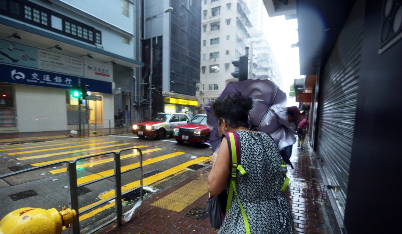
Hurricane-force winds, a clash with the regular high tide and a new moon helped brew one of the most powerful storms to hit Hong Kong in years, according to meteorologists.
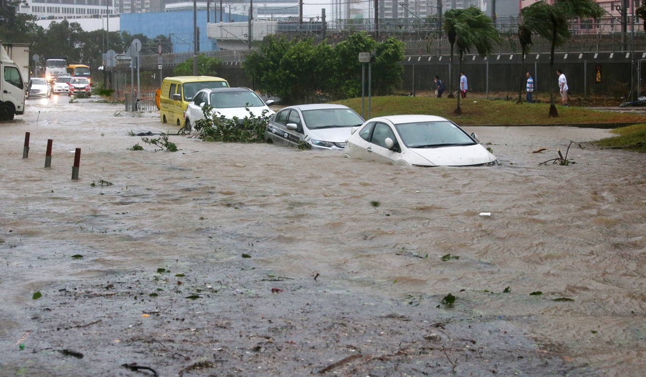
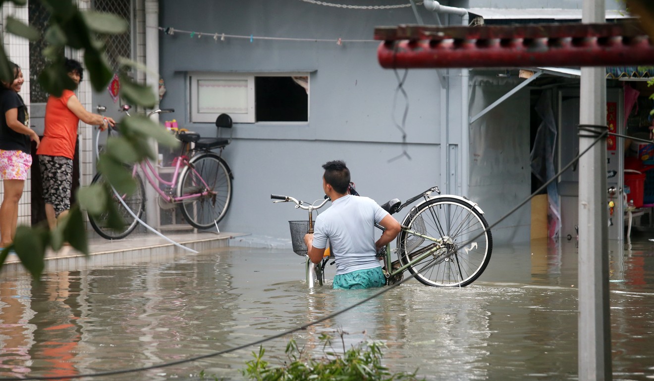
As Typhoon Hato skirted the south of the city on Wednesday, the sea around parts of the territory swelled up to 4.5 metres in height, inundating coastal and low-lying areas with a powerful storm surge.
The Hong Kong Observatory warned the sea level at Tai O might reach a level of 3.9 metres above normal – breaking the previous record of 3.5 metres above normal caused by Typhoon Gordon in 1989. The Observatory’s records only go back as far as 1985.
A brief history of Hong Kong typhoons
“As a typhoon approaches, pressure drops and wind speeds pick up leading to a storm surge at sea. [Hato’s] storm surge happened to coincide with the highest astronomical tide at noon,” said Professor Johnny Chan Chung-leung, chair professor of atmospheric science at City University. “This kind of phenomenon occurs, but is very rare.”

Chan said most of the flooding across the city, in places such as Heng Fa Chuen, Lei Yue Mun and Tai O were not caused by heavy rain but the huge storm tides washing ashore. He said Hong Kong’s coastal infrastructure would have to be upgraded to deal with such storms.
Only one plane lands in Hong Kong International Airport as Typhoon Hato wreaks havoc with flight schedules
A storm surge refers to elevated seawater caused by strong winds and low atmospheric pressure, which sucks up the sea level.

Clarence Fong Chi-kong, a meteorologist at the Macau-based ESCAP-WMO Typhoon Committee under the United Nations, noted that the storm had also coincided with a new moon. This occurs when the sun, Earth, and moon are aligned, intensifying the gravitational effect on Earth, causing tides to rise.

Both experts said it was unusual for a tropical cyclone to intensify in such a short period of time – Hato had only formed as a tropical depression off Taiwan on Sunday. Within a day, it was barrelling towards southern China with a forecasted maximum sustained wind speed of 130km/h at its centre.
Chan said the unusual ferocity could have been due to either atmospheric conditions or an exceptionally warm body of water somewhere in the western Pacific, that fuelled the storm.
Three dead, hotels facing two-day shutdown after Typhoon Hato knocks out power in Macau
The route of the storm, across the south of Hong Kong, also meant Hato spent more time over water, allowing it to picking up more energy as it moved west-northwest towards Guangdong, said Fong.
In recent years, most typhoons to come close to Hong Kong have approached from the east and been less powerful.

