Advertisement
Advertisement
Outdoor & Extreme: Hiking
Get more with myNEWS
A personalised news feed of stories that matter to you
Learn more
The number of hikes taken in Hong Kong rose steadily from 12.2 million in 2005 to 13.3 million in 2015. Photo: Shutterstock

Why so many people get into trouble when hiking in Hong Kong

As the weather cools, many head for the hills – but too often they are under-equipped for the excursion
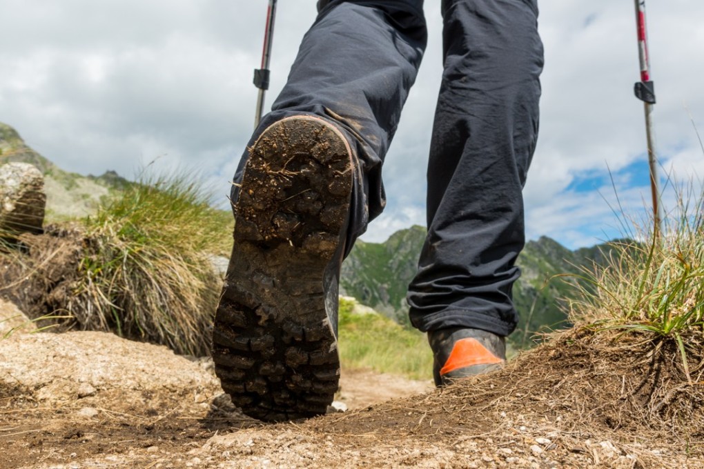
As more Hongkongers take to the countryside to escape the city’s buzz, the rising frequency of mountain rescue missions has shown they are too often under-equipped for their excursion.

Two walkers died in two days last month as the cooler weather encouraged many to take to the hills.

The number of hikes taken in Hong Kong rose steadily from 12.2 million in 2005 to 13.3 million in 2015, while mountain rescues have more than doubled from 138 in 2005 to 357 in 2016.

Phillip Forsyth, the leader of Hong Kong Hiking Meet Up, says people should pay more attention to their health and suggests those at elementary levels start by attempting easy trails – with plenty of shaded areas and water springs – before building up to the more challenging ones.

Participants should have at least six to seven hours of deep sleep before joining any hikes, he said.

As for regular hikers or athletes, mountaineer Chung Kin-man warns it is especially easy to underestimate the danger of hiking.

“A lack of preparation, awareness and a desire to make the hike more challenging is to be blamed for this worrying trend,” he says.

City Weekend walks you through four of Hong Kong’s most dangerous hikes.

Lantau Peak

1. KAU NGA LING, also known as Dog’s Tooth Ridge

Located on Lantau Island, this one is for the true adventurer. It is the less-travelled route up the highest peak in Lantau South Country Park – Lantau Peak. The 934-metre summit is a huge draw for local hikers.

THE BEAUTY

Lantau South Country Park is set amid the rolling slopes of Lantau Peak and Sunset Peak and spreads across a radiating network of natural waterways. According to the Agriculture, Fisheries and Conservation Department, historical records show south Lantau’s complex circuit of village paths date back several hundred years.

THE DANGER

A professional hiker explains that the steep ridges have a lot of loose stones meaning hikers need to use their hands to balance during the climb. “Most parts of the hike are quite strenuous and are only suitable for those with the right experience, physical strength as well as hiking boots,” Chung Kin-man says.

Last week, a 69-year-old hiker was killed in a fall from the notoriously treacherous ridge. The man was said to have been climbing up a spot dubbed “slim chance of survival” by mountaineers. He slipped and fell about 30 metres. Others in the group then called authorities for help.

A man also died in January after falling from the cliff at a remote site called Fung You Pik on Lantau Island as weather deteriorated over the city.

“Suicide Cliff” at the Kowloon Peak. Photo / Edward Tin

2. FEI NGO SHAN, also known as Kowloon Peak

Some 602 meters above sea level, the mountain is located in Ma On Shan Country Park – a 2,880-hectare site in the eastern New Territories.

THE BEAUTY

The park has quite a few famous sights – Kowloon Peak with its panoramic cityscape, the grave of Dr Sun Yat Sen’s mother in Pak Fa Lam and the popular Gilwell camp site. Hikers can set off for the summit from Fei Ngo Shan Road to the east, Jat’s Incline to the west or from the Wilson Trail to the north.

THE DANGER

The most treacherous trail runs directly south from the summit. It is rugged and passes several sheer cliffs. Long-time hikers say it is only to be tried by the fit and experienced. Inclines are very steep and it is easy for a hiker to lose his or her footing, Phillip Forsyth warns.

A woman died when she fell from a slope dubbed “suicide cliff” last month. She was with a group of 12 people when they set off for Kowloon Peak from Jat’s Incline . She tumbled more than 10 metres down the slope, suffering injuries to her head and limbs.
Back in August, two hikers ran into trouble and were stranded on the same cliff in the middle of No 8 typhoon, which led to a rescue operation that took more than 24 hours, with 160 firefighters, 10 ambulances and 31 fire engines deployed to bring them to safety.
Every way you turn, water colour scenery takes your breath away at Plover Cove Country Park. Photo: Handout

3. PLOVER COVE

Set in northeastern Hong Kong, Plover Cove Country Park was designated in 1978. Meeting the sea on three sides, the park features a range of undulating peaks around Plover Cove reservoir. To its west lies Pat Sin Leng Country Park, which is notorious for rugged uplands. Whether you choose to visit Plover Cove on a glorious summer day or in the spring drizzle, the landscape is equally arresting.

THE BEAUTY

With a magnificent waterfall that sets the scene, Bride’s Pool is one of the most famous idyllic spots in Plover Cove Country Park. Behind the pristine atmosphere is a folk legend about a bride who drowned here on her way to her wedding. In addition, there is Mirror Pool and man-made Plover Cove Reservoir. A hiking trail snakes along the high points above the waters.

THE DANGER

The Plover Cove Reservoir Country Trail is beautiful but long – almost 16km – and takes an estimated six to seven hours to complete. The beginning after crossing the dam is relatively easy but the hills above the northern shore become tough. Hikers have to negotiate several ups and downs featuring loose rocks. This section is the only part with exits descending to an easier route in the valley below.

“There is no early exit here. Once you get on, you have to go around the reservoir and on a sunny day, if you have not got three or four litres of water with you, you can become severely dehydrated,” Forsyth warns.

A 60-year-old man died on a hill at Plover Cove Country Park earlier in April after complaining about feeling dizzy. The middle aged man was hiking with eight other friends when the incident happened. His companions called for help and a rescue operation was launched. It is believed that the man had been suffering health problems previously.

Police set up a check points at the top of the Lion Rock, which has become a popular spot for pro-democracy protesters to hang banners. Photo: Dickson Lee

4. LION ROCK

Designated a country park on June 24, 1977, it is one of the earliest country parks in Hong Kong. The park borders Kam Shan Country Park on Tai Po Road to the west and commands a total area of 557 hectares. Lion Rock is a narrow mountain ridge stretching from east to west. Viewed from a distance, it resembles a lion sitting regally with its head facing west, as if to keep Hong Kong safe.

THE BEAUTY

This section of the 100km MacLehose Trail is quite popular, mainly due to its good hiking facilities as well as scenery, such as Amah Rock, which is famous for its folk legend of a woman and her son waiting forlornly for the return of her husband. The views over Kowloon from the 495-metre summit are spectacular, but the cliffs are sheer and have become the domain of rock climbers.

THE DANGER

The route to the top starts to the west and is steep. While the summit is largely level and friendly for amateur hikers, Chung reminds people not to leave the established trail.

“I strongly disagree with those who take alternative routes to make the hike more challenging. The trail is designed that way for a reason, so hikers can enjoy the climb without falling off ledges,” he says.

TIPS FOR A SAFER HIKE

Choose a hiking trail suitable for your strength and ability;

Make sure you are accompanied by at least one trained or experienced hiker;

Do not go hiking when the weather is bad, unstable or too hot;

Bring enough food and water;

Carry a detailed map, a compass and a fully-charged mobile phone in case of emergency;

Never go off on your own and avoid hiking in dense woodland or tall underbrush.

11