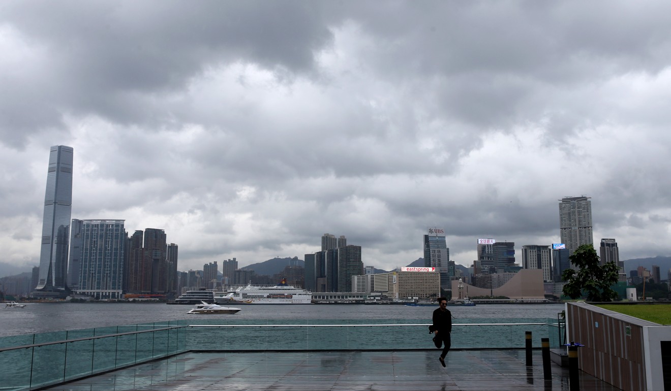
Double typhoon may blow away Hong Kong’s heatwave as Observatory spots two areas of low pressure building in South China Sea
Consecutive nine days of rain forecast with or without a double typhoon
Forget the drought and the heatwave – a double typhoon might be forming in the South China Sea which would blow such worries away.
Hong Kong has sweated through more than two weeks of consecutive “very hot” warnings, with daily maximum temperatures exceeding 33 degrees Celsius.

Maximum temperature records have been broken almost daily over the past week.
One low pressure area may move northward and bring rainfall to southern China next week, while the other, forming east of the Philippines, may move toward southeastern China, the Observatory said.

Both would likely hit Taiwan as well, according to data monitored by the Global Forecast System in the US.
The temperature in Hong Kong will drop to 26 to 30 degrees Celsius in the coming week. A consecutive nine days of rain are forecast by the Hong Kong Observatory, with or without the double typhoon.

