
Hong Kong Observatory downgrades typhoon warning signal to No 3 as Tropical Storm Nangka moves away
- Day school classes were earlier suspended, transport services disrupted, with No 8 signal remaining in force most of the day
- As of 7pm, Nangka was centred about 520km southwest of the city


The Hong Kong Observatory downgraded the No 8 typhoon warning signal to No 3 at 7.40pm on Tuesday, as Tropical Storm Nangka moved further away from the city.
The No 8 northeast gale or storm warning was first issued at 5.40am, indicating winds with mean speeds of 63km/h to 117km/h or more are expected from the northeast quarter.
“Nangka is about to make landfall at Hainan Island. With Nangka weakening after making landfall and moving further away from Hong Kong, the local winds are expected to weaken gradually,” the weather forecaster said earlier.
As of 11pm, Nangka was centred about 550km southwest of the city, and was expected to move west or west-northwest at about 20km/h crossing the Chinese island of Hainan.
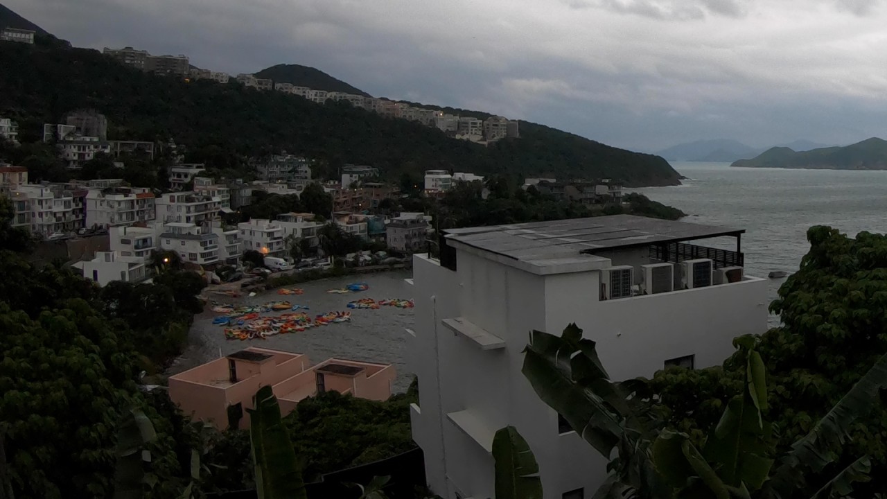
02:23
Tropical storm Nangka nears Hong Kong
By 10pm, the government had received 20 reports of fallen trees, but no landslides or flooding were recorded. Two men and a woman sought medical treatment in a public hospital from cases related to the storm.
The Home Affairs Department opened 22 temporary shelters in various districts, and 113 people had sought refuge at the facilities before the No 8 signal was lowered.
“Nangka is the farthest tropical cyclone that necessitates the issue of a No 8 signal, in terms of distance from Hong Kong at its closest approach, in the last 60 years,” the Observatory said in a reply.
Tropical Storm Nangka sets record as farthest cyclone to trigger a No 8 signal in Hong Kong
The storm came closest to Hong Kong in the early hours of Tuesday, when it was about 440km from the city.
Still, the weather agency said the No 8 signal was issued because of the combined effect of Nangka and the northeast monsoon, which affected the nearby waters and the higher elevations in the city.
“Nangka” is the Malay word for jackfruit.
With Nangka moving to the southwest of the city, local wind direction will gradually change from northeast to east to southeast. Previously sheltered areas may become exposed.
The No 3 warning signal indicates winds with a mean speed ranging from 41km/h to 62km/h.

During Typhoon Higos, the government received 48 reports of fallen trees and two of flooding. Seven people sought medical treatment.
Covid-19 testing, financial trading disrupted
Hong Kong Exchanges and Clearing Limited cancelled Tuesday trading in its securities, including Stock Connect Northbound trading, and derivatives markets.
Four temporary government Covid-19 testing centres were closed: Harbour Road Sports Centre in Wan Chai, Shek Lei Community Hall, Kai Tak Community Hall and Henry G Leong Yaumatei Community Centre.
Also adjourned were all of Tuesday’s hearings at courts and tribunals in Hong Kong.

Schools closed, transport affected
The Education Bureau said classes at all day schools would be suspended on Tuesday.
The MTR Corporation said its service frequencies were being increased to meet passenger demand, and its bus service would resume.
KMB and Long Win Bus resumed limited services on some routes from 6.30pm.
‘Winds to strengthen’
Wind speeds are still expected to be high on Wednesday, starting with heavy showers and squalls, according to the Observatory. The rain will ease off with sunny periods over the latter part of the week.
Nangka was bringing squally showers to the south China coast. Winds were generally strong over offshore waters and on high ground in the territory, occasionally reaching gale force, the Observatory said.

“Nangka is gradually moving away from Hong Kong. However, under its combined effect with the northeast monsoon, local winds are still expected to strengthen further. In particular, the southern part of Hong Kong will experience stronger winds,” it added.
The Observatory said in the morning that Tuesday would be cloudy with rain and a few squally thunderstorms, with temperatures lingering around 26 degrees Celsius during the day.
It also advised residents to stay away from the shoreline and not engage in water sports.
