Advertisement
Advertisement
Hong Kong weather
Get more with myNEWS
A personalised news feed of stories that matter to you
Learn more
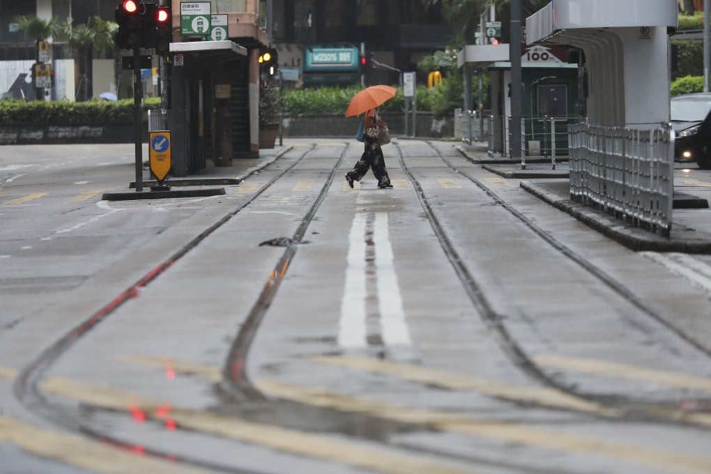
A quiet road in Causeway Bay during Tuesday’s typhoon signal No 8. Photo: Nora Tam

Tropical Storm Nangka did require No 8 signal, Hong Kong Observatory says

  • Predicted heavy rains did not batter the city when Tropical Storm Nangka skirted the city on Tuesday
  • But decision to raise the warning level endorsed by two other veteran meteorologists
The Hong Kong Observatory has defended its decision to raise the No 8 signal when Tropical Storm Nangka skirted the city on Tuesday, saying strong winds could have intensified.

Some members of the public pointed to only minimal rain and wind in parts of the city, but the decision to raise the warning level was endorsed by two other veteran meteorologists.

“We originally forecast the winds would blow to the south of Hong Kong, but later [the storm] got too close, and even a slight deviation from our forecasting could have caused more residents to be affected,” said Chan Pak-wai, the Observatory’s assistant director of forecasting and warning systems.

“So after taking into account the rainfall and wind speeds across the city, we decided to raise the No 8 signal as a safety precaution.”

The signal was raised at 5.40am and lowered to No 3 at 7.40pm.

The Observatory had originally expected heavy rains to hit the city, but local dry air might have caused the moisture to evaporate as it arrived, according to Chan.

“Because the forecasts generated by our prediction tools matched our expert knowledge, we decided to issue the warning,” he said. “But since there was some difference [in rainfall], we will look at how to better tackle these situations in the future.”

The Observatory later said it routinely compiled data and collected independent opinions on its forecasting for major weather events, which would be used to improve its predictions. It would also examine how to improve efforts to better educate the public about weather phenomena.

Tropical Storm Nangka was the farthest typhoon from the city to trigger a No 8 signal in 60 years. At its closest point, the storm was still more than 400km from Hong Kong.

Nangka spares Hong Kong but leaves dozens dead in Vietnam and Cambodia

The storm’s effects were compounded by a northeast monsoon, widening the reach of strong winds, a phenomenon that former Observatory director Lam Chiu-ying said was typical of typhoons at this time of year.

The No 8 signal, the third-highest in the Observatory’s warning system, is raised when winds intensify to between 63km/h and 117km/h.

At around noon on Tuesday, average windspeed at Waglan Island to the southeast was 85km/h, while wind speeds at Cheung Chau beach hit 62km/h. Lam said this was enough to require the No 8 signal to be raised.

Clarence Fong Chi-kong, founder of the independent Weather Underground, which often reviews the Observatory’s performance, also said raising the No 8 signal was justified.

“Winds did reach gale force offshore and the southern part of Hong Kong Island [on Tuesday],” he told the Post. “It is always challenging to forecast the combined effect of monsoon and tropical cyclones in autumn.”

This article appeared in the South China Morning Post print edition as: Raising No 8 signal was the right call, Observatory says
Post