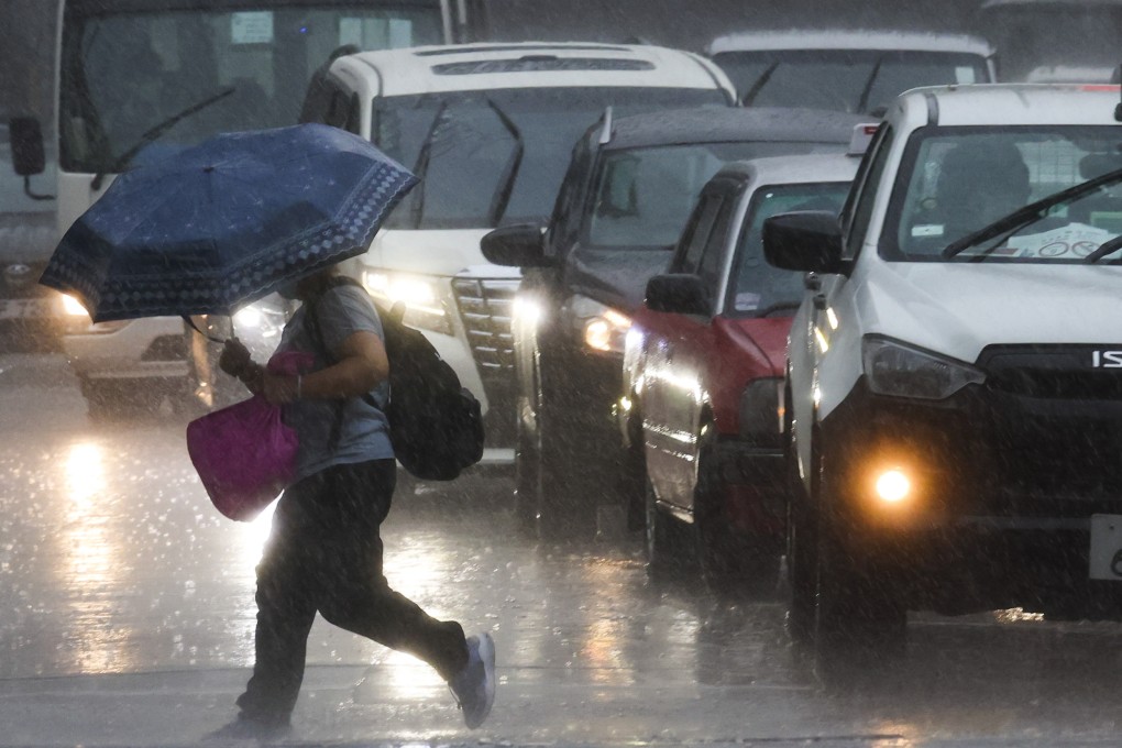
Hong Kong Observatory issues No 1 typhoon warning signal
- City braces for further heavy downpours and squally thunderstorms
- Forecaster warns that heavy rain and thunderstorms continue for coming days

The Hong Kong Observatory issued the No 1 typhoon warning signal on Wednesday night, as the city braced for further heavy downpours and squally thunderstorms.
The standby signal was issued at 10.10pm, as a tropical cyclone was estimated to be about 250km (155 miles) east-southeast of the city and predicted to move west-northwest at about 15km/h (9.3mph).
Authorities said the tropical depression was relatively small and the signal was expected to remain in force until at least Thursday 6am, although that could change late in the day when the storm was expected to make landfall in Hong Kong.
“The tropical depression will gradually edge closer to the vicinity of the Pearl River estuary … [on Thursday],” it said. “The associated outer rainbands will bring squally heavy showers and thunderstorms to the region.”
The forecaster warned that heavy rain and thunderstorms could continue for the coming days, with temperatures ranging from 26 degrees Celsius to 29 degrees (79 to 84 degrees Fahrenheit). But showers would start to ease on Sunday, it said.
The Marine Department reminded vessel owners to take precautionary measures and secure their boats at safe locations.