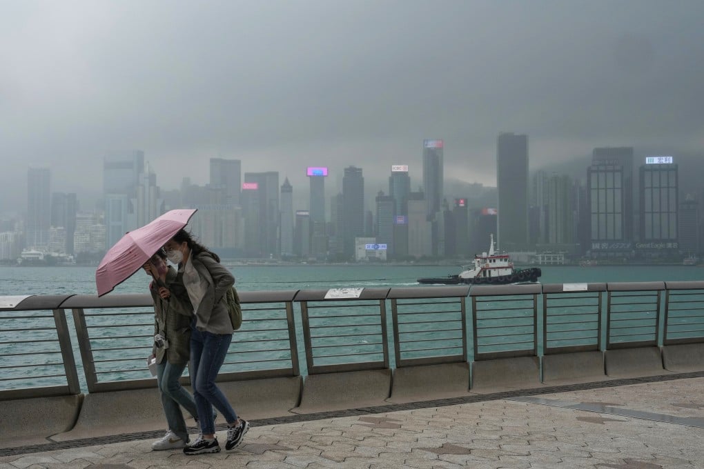
Low pressure area unlikely to trigger Hong Kong’s first typhoon of year this week, Observatory says
- Forecaster expects low pressure area to enter South China Sea later this week, but it should weaken as it passes through Philippines
- Temperatures will rise in coming days as separate northeast monsoon over coast of southern China eases

A low pressure area near the Philippines is expected to enter the South China Sea later this week, prompting concerns it may trigger Hong Kong’s first typhoon of the year, but the city’s weather forecaster has said the possibility is minimal.
The Observatory on Monday said that based on satellite imagery unstable weather linked to a low pressure system was building in waters east of the Philippines.
“We expect this low pressure area to gradually develop over the next two to three days,” said David Lam Hok-yin, the Observatory’s acting senior scientific officer.
“Some computer models indicate the low pressure area will pass through the Philippines and enter the central and northern parts of the South China Sea later this week. But we also see that some models show its intensity may weaken after reaching the Philippines.”
According to other models the area may move to the east of the country and towards the south of the Ryukyu Islands, where Okinawa is located, he said.
The weather systems are characterised by air pressure that is lower than in the surrounding areas. They form when air pressure on land is distributed unevenly because of factors such as geographical environment and seasonal changes. Low pressure areas are often associated with precipitation, clouds and storms, or tropical typhoons in the worst cases.

But Lam said the impact on Hong Kong would be minimal as the low pressure area would weaken as it passed through the Philippines.