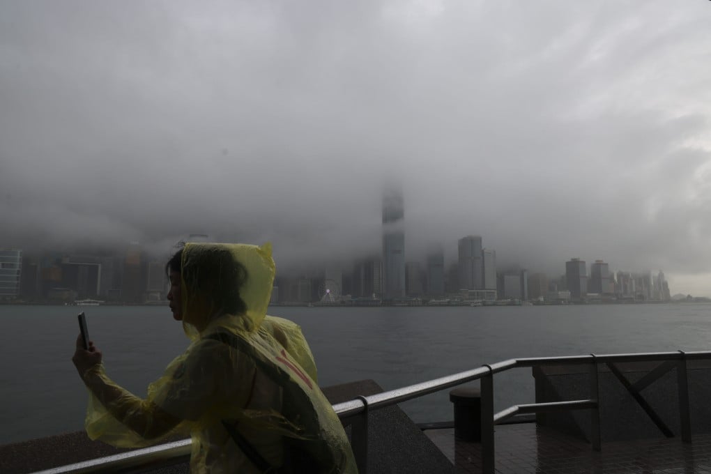
Hong Kong No 1 typhoon signal expected to remain in force until at least Friday morning
- Signal issued at 5.40pm as broad area of low pressure over central to northern part of South China Sea intensified into tropical depression
- Showers, thunderstorms and squalls are forecast for the region on Friday and Saturday

Hong Kong issued the first No 1 typhoon signal of the year on Thursday afternoon and the warning is expected to remain in force until at least Friday morning, the city’s weather forecaster has said.
The signal was issued at 5.40pm as a broad area of low pressure over the central to northern part of the South China Sea intensified into a tropical depression, which is now within 800km (497 miles) of the city.
“The associated strong winds would not generally affect the territory yet. The standby signal No 1 will remain in force at least until 6am tomorrow,” it said.
“Depending on the change of its intensity and local wind conditions, the Observatory will assess the need for issuing the strong wind signal No 3 during the day tomorrow.”
As of 6pm, the tropical depression was at about 640km south-southwest of Hong Kong and would remain at a distance of more than 250km from the city on Thursday night and Friday morning.
“The broad area of low pressure over the central to northern part of the South China Sea continued to intensify in the past few hours and will develop into a tropical depression shortly,” the Observatory said.