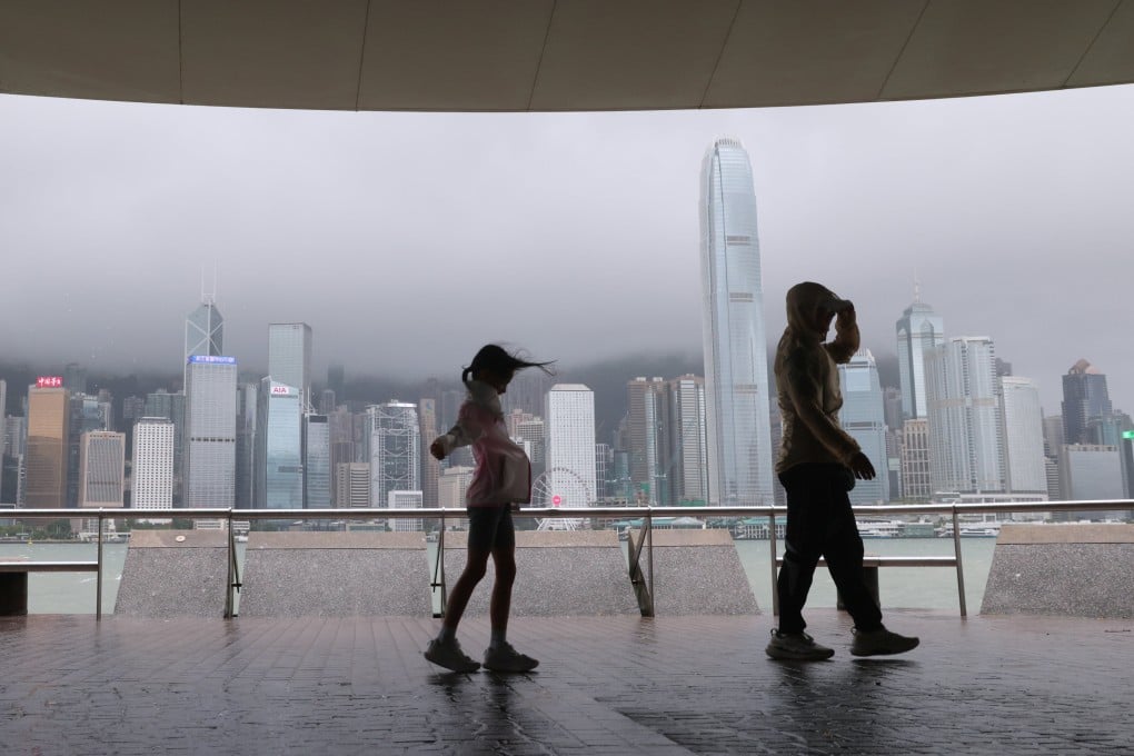
Hong Kong could issue T1 warning between Wednesday night, Thursday morning
Observatory says low-pressure area has intensified into tropical depression and will enter within 800km of Hong Kong no later than Wednesday

The Hong Kong Observatory has said it could issue a No 1 typhoon signal between Wednesday night and Thursday morning due to an area of low pressure currently northeast of Manila intensifying into a tropical depression.
The forecaster said on Tuesday night that the tropical depression would enter within 800km (497 miles) of the city by Wednesday at the latest, and would continue to move in the general direction of the coast of Guangdong and intensify gradually.
“However, under the influence of the northeast monsoon, there are uncertainties in its movement and intensity,” it said.
“As its circulation is relatively small, the tropical cyclone will only bring a significant impact to local weather when it gets relatively close to Hong Kong.”
As of 8pm on Tuesday, the tropical depression was centred about 240km northeast of Manila. It is expected to move northwest at about 15km/h (9.32mph) across the vicinity of Luzon.