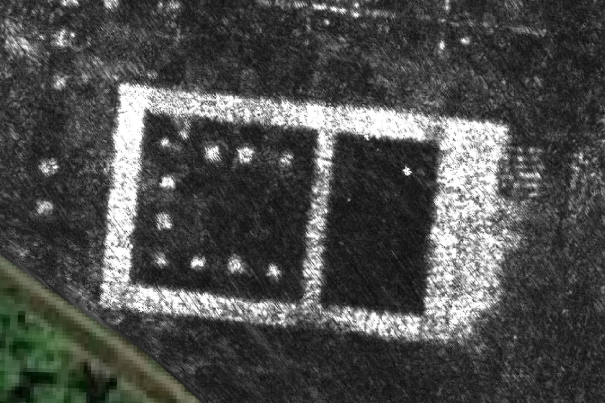
Ground-penetrating radar reveals buried Roman city in remarkable detail
- Images show buildings still deep underground, including a temple and a unique public monument
- It marked the first time a complete ancient city was mapped using GPR technology
Scientists have unveiled the contours of an ancient city north of Rome for the first time, and all they needed was a quad bike and a radar gun.
The splendour of long-buried Falerii Novi in the Tiber River valley was revealed without overturning a single stone.
Instead, researchers from the University of Cambridge and the University of Ghent in Belgium used ground penetrating radars and satellite navigation to create sophisticated 3D images of the once-lost town.
The results, published Tuesday in the journal Antiquity, shed light on aspects of Roman architecture and urban design about which relatively little was known.
It was also the first time the ground penetrating radar technology – called GPR – has been used to map an entire city, Professor Martin Millett, one of the authors of the study, said.

