Massive ‘bomb cyclone’ could be one day away from hitting US and Canada with huge snowstorms
The East Coast of the USA is likely to be slammed by a “bomb cyclone” on Thursday, experts have warned, as a rapidly intensifying Atlantic storm heads inland.
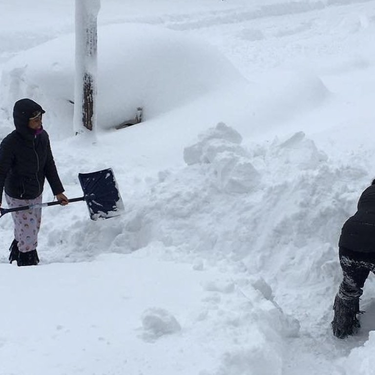
The “bomb cyclone” should dump 20-30 cm (8 inches to one foot) of snow on the Boston area Thursday, and at least 15cm (half a foot of snow) in the New York City region.
Still, meteorologists say most of the storm’s fierce hurricane-force winds should stay out to sea until it nears Cape Cod, Maine and Canada.
Weather Prediction Center lead forecaster Bob Oravec says the fast-moving system can bring 113kph (70mph) wind gusts to coastal New England.
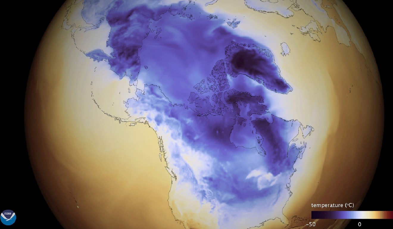
Meteorologists say perhaps the worst effects could be bitter sub-zero cold - chillier than the frigid past couple of weeks.
The National Weather Service (NWS) has issued blizzard warnings for the coast from parts of Rhode Island to Maine, but Oravec expects the blizzard warnings could be extended as far south as parts of New York.
And snow is expected to continue falling all the way down to Florida.
The ‘bomb’ part of ‘bomb cyclone’ is short for bombogenesis, a phenomenon that occurs when a system’s central pressure drops steeply - 24 millibars or more - in 24 hours.
If current computer models hold, that’ll start to happen somewhere off Cape Hatteras, North Carolina, and continue as the storm moves north.
Hurricane-force wind warnings have been posted off the coast where ships could encounter winds of 80 miles an hour and waves as high as 26 feet on Thursday.
“It is certainly going to be a bomb,” Carolan said. “It could drop 40 to 50 millibars in 36 hours.”
Meanwhile, Wednesday continued to be miserably cold for much of the US.
The wintry mix and low wind chills could cause widespread power outages and leave roads icy, making commuting treacherous for millions of Americans, the NWS said in a series of warnings.
It was snowing in Tallahassee, Florida’s capital, early on Wednesday, according to Rob Carolan, a meteorologist with Hometown Forecast Services Inc in Nashua, New Hampshire.
“We are going to get a decent snowfall out of this,” said Carolan, referring to New England. “The bad news is it will ruin tomorrow morning’s commute.”
Some schools and universities in those states, as well as Massachusetts and New York, were closed on Wednesday in anticipation of the storm. Many flights out of the Savannah/Hilton Head International Airport in Georgia and Tallahassee Airport in Florida were cancelled.
Weather warnings forced some school districts in Florida’s northern counties to close just as students were set to return after a winter break.
In central Florida, the state’s largest theme parks announced that water attractions such as Disney’s Typhoon Lagoon, Universal Orlando’s Volcano Bay and SeaWorld’s Aquatica were closed on Wednesday because of the cold snap.

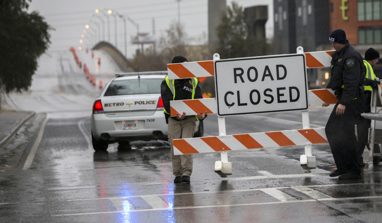
In Georgia, law enforcement reported icy rain in Savannah on Wednesday during rush hour.
Those who did brave the frigid commute found police had closed many bridges, overpasses and elevated roadways that had become slippery with ice.
Nick McCready said “there are accidents all over.”
McCready had just made his 25-mile commute from Savannah to Bluffton, South Carolina, before dawn on Wednesday, only to go back home after 30 minutes at the office. “On my way back, I slid a little bit on a couple of bridges.”
The weather stands to wreak havoc on markets for longer, as electricity prices have already surged to the highest level in years and natural gas demand hit a record high. Georgia Governor Nathan Deal has declared a state of emergency for 28 counties.
Its focus and track will shift north throughout the day until it brings its worst to Boston and coastal New England on Thursday.
“The real apex, the peak of the storm, will be Cape Cod to Nova Scotia,” said Gregg Gallina, a forecaster at the US Weather Prediction Centre in College Park, Maryland.
Environment Canada has issued its own warnings for New Brunswick and Nova Scotia, including Halifax, which handles about 1,500 vessels per year.

There’s a silver lining: The storm will offer some respite from the bone-rattling cold that triggered wind chill advisories and freeze warnings.
But the relief will only be temporary as the Arctic chill is set to make a comeback by the end of the week. Temperatures will rise out of the teens and single digits from Philadelphia to Boston before slipping back again by Friday and Saturday.
“This is only the appetiser - the main meal comes over the weekend,” said Judah Cohen, director of seasonal forecasting for Atmospheric and Environmental Research, a Verisk Analytics Inc business in Lexington, Massachusetts. “This is about as intense a cold as I can remember.”

As the storm bears down, an arctic air mass will remain entrenched over the eastern two-thirds of the country through the end of the week, forecasters said.
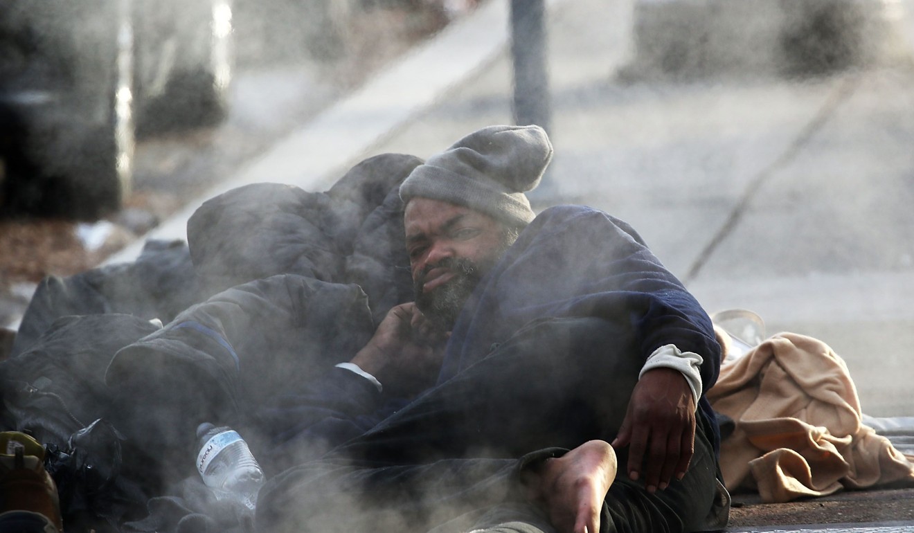
The record-low temperatures were to blame for at least eight deaths in Texas, Wisconsin, West Virginia, North Dakota and Michigan over the past several days, officials said.
A large swathe of the Midwest was under a wind chill warning on Wednesday as places like Cleveland and Indianapolis had temperatures in the wind of minus 20 to minus 29 Celsius (5 to 20 degrees below zero Fahrenheit), while the Deep South faced deep-freeze temperatures that threatened crops and pipes, the weather service warned.
