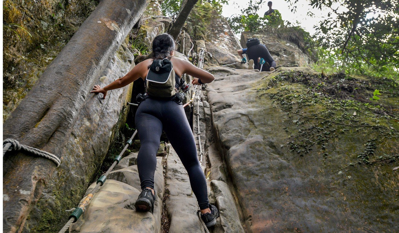
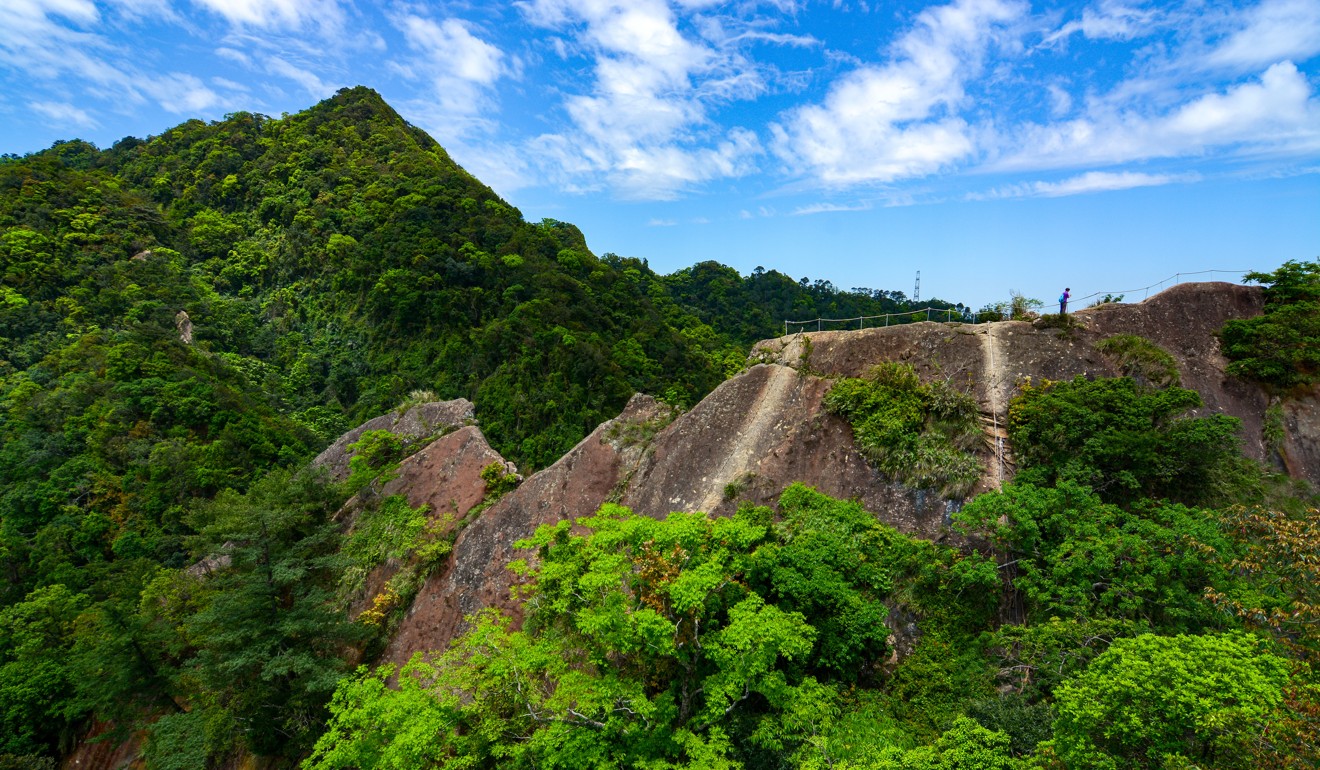
Hikers use ropes to descend one section of the Wuliaojian hiking trail. Photo: Chris Stowers/PANOS
A perfect day trip from Taipei City, Wuliaojian Mountain, in Taiwan’s Sanxia District, has been billed as the region’s best day hike.
“One of my ancestors was beheaded around here by the indigenous people about a hundred years ago, before the Japanese occupation,” says Cheng Wen-chiu, my friend and unofficial guide.
He says this as we get ready to tackle the first set of fixed ropes hikers use to pull themselves up five jutting plumes to the 645-metre (2,110-feet) summit of Wuliaojian (or “Five points”).
The hike is a five to six-hour round trip involving several rope-assisted ascents and descents, some as severe as 90-degrees. It’s consistently rated among the highest degrees of difficulty for Taipei-area hikes among local bloggers.
Wen, 34, a Sanxia native, has climbed Wuliaojian twice before. But his successful summits pale in comparison to a local legend.
“There's an old man – [he’s] maybe 60 years old – and he has climbed Wuliaojian 500 times,” says Wen, before scrambling confidently up the first rock face, a relatively easy primer for what is to come. “He carries five litres [1.3 gallons] of water up the mountain to share with the other hikers – and watermelon.”
We continue upwards, the roots of trees and small holes chiselled into the dusty brown stone act as our hand and footholds; some moves requiring careful calculation and calibration of our limbs.
Though the climb is doable for the casual hiker, it does require a certain level of fitness and the ability to triumph over any fear of heights. The old man – let’s call him Mr 500 – apparently likes to show off that he does not even need the ropes.
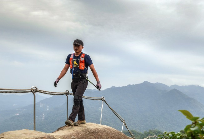
We have got off to an early start, and as the sun rises and the morning mist begins to burn off, warmth settles over this particular portion of the Taipei basin. Wen and I work our way up an imposing outcropping that leads to a narrow precipice of smooth stone, before running into a jam of hikers lined up on the long, thin spine at the top of the first plume.
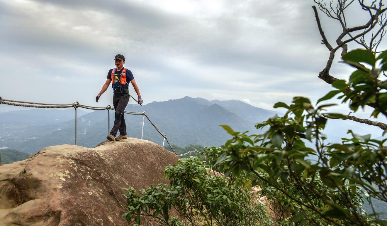
They stand and wait, some crouched or sitting, all with a hand on the rope running along the bony incline. To either side is a precipitous cliff. One slip could result in serious injury, or even death.
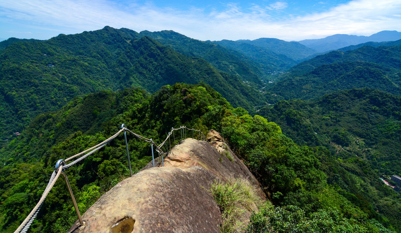
Rather than dwell on that grim prospect, we instead take in our surroundings, a 360-degree expanse of tree-covered mountains rising above the valley, the grey and brown of the stone barely managing to break through the thick green cover. Perhaps it is not fear the causes the bottleneck here, but the beautiful view.
On weekends, there is always a long queue here, Wen explains. The only way off this particular rise, known as the Phoenix Plume, is to take one of three descents on the left-hand side, the first bordering on the vertical.
“Some people get really scared,” he says, nodding towards a group who have opted for the third and easiest way down the side of the ridge – a young woman screams with equal parts fear and exhilaration as she carefully plants one foot after the other on her slow, deliberate descent.
While we wait, Wen points back to a small pond – more of a puddle housed in a shallow dip in the rock – in which floats a single lotus. A couple behind us, perhaps in their mid-fifties, is talking about the flower, and how it got there. Sure enough, it is another sign of the elusive Mr 500.
Tired of waiting for the crew ahead of us to brave the easiest of the ways down the plume, we opt for the most precarious descent. White-knuckling it down, our feet are planted firmly on either side of the rope, one step at a time, hand under hand. By this point, past the halfway mark of our journey, our arms and legs are burning, shirts soaked through with sweat.
From the Phoenix Plume we continue our way along the main ridge, up one side of the series of points that rise along our path, down the other.
We reach a junction some three hours into our hike, spotting a sign indicating the top is just 170 vertical metres (560 feet) off. Across from the signpost, a large banyan tree rises. A tangle of roots scatter from the thick trunk, travelling untold distances through the rock and the undergrowth of the forest.
We scurry up the last remaining face, a pyramidlike formation that ends in a small flat area at the top, providing the last in our series of panoramas of the surrounding valley. We then lower ourselves down on the pyramid's opposite side, a long, near-vertical descent that involves switching midway down from one set of ropes to another.
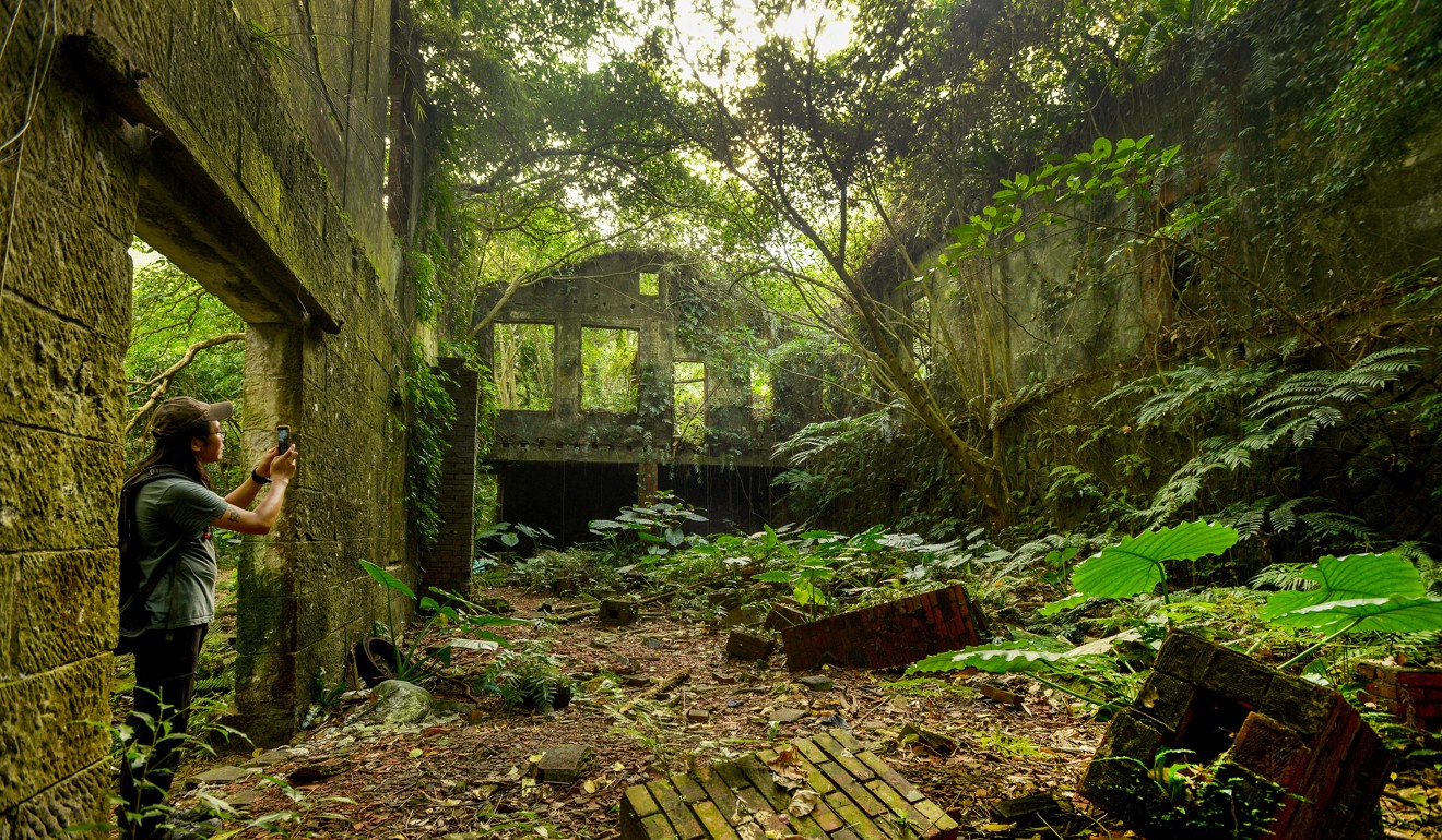
Our circuitous route is completed by heading along the downward path which leads to a narrow mountain road. The road, one of the lonely rural routes of the Central Mountain Range, winds its way back to the main highway, leading past small bamboo farms and traditional Hakka homes, where mountain dogs doze in courtyards.
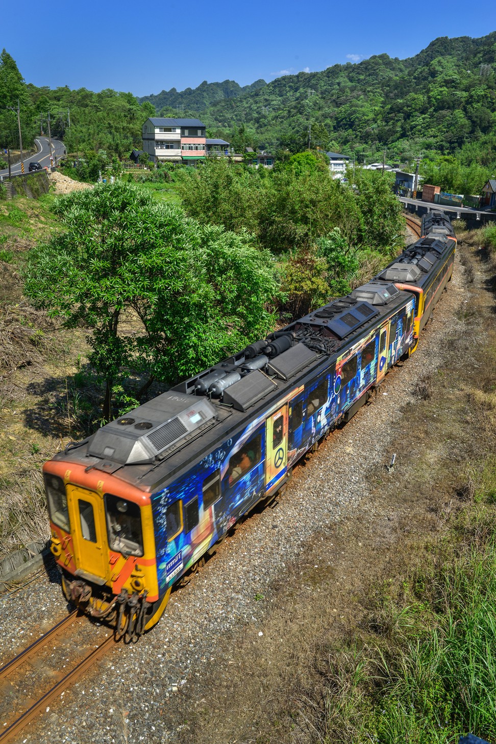
At the bottom, we rest for a few minutes, grabbing a celebratory, and much needed, drink from the family-run convenience store next to the trailhead. Striking up a conversation with a fellow hiker, we manage to hitch a ride to Yingge railway station so we can catch the train back to Taipei. Hikers are known to look out for their own here, and although we never did come across Mr 500, we have managed to make at least one new friend along the way.
Getting There
Wuliaojian is located just 10 kilometres from Dingpu Station, the last stop on the Taipei MRT’s blue line.
From Taipei, take the MRT to Yongning Station. Outside the station, take the 275 or 705 bus to Sanxia Bus Station. From there, take the 807 bus to the Wuliaojian trailhead. Alternatively, take the MRT to Dingpu Station, and take a taxi (about a 15-minute drive) to the trail. Buses back to Sanxia Bus Station depart across the street from the trailhead, though the wait can be 30-60 minutes.
More day hikes in the Greater Taipei Area
Elephant Mountain (Xiangshan hiking trail)
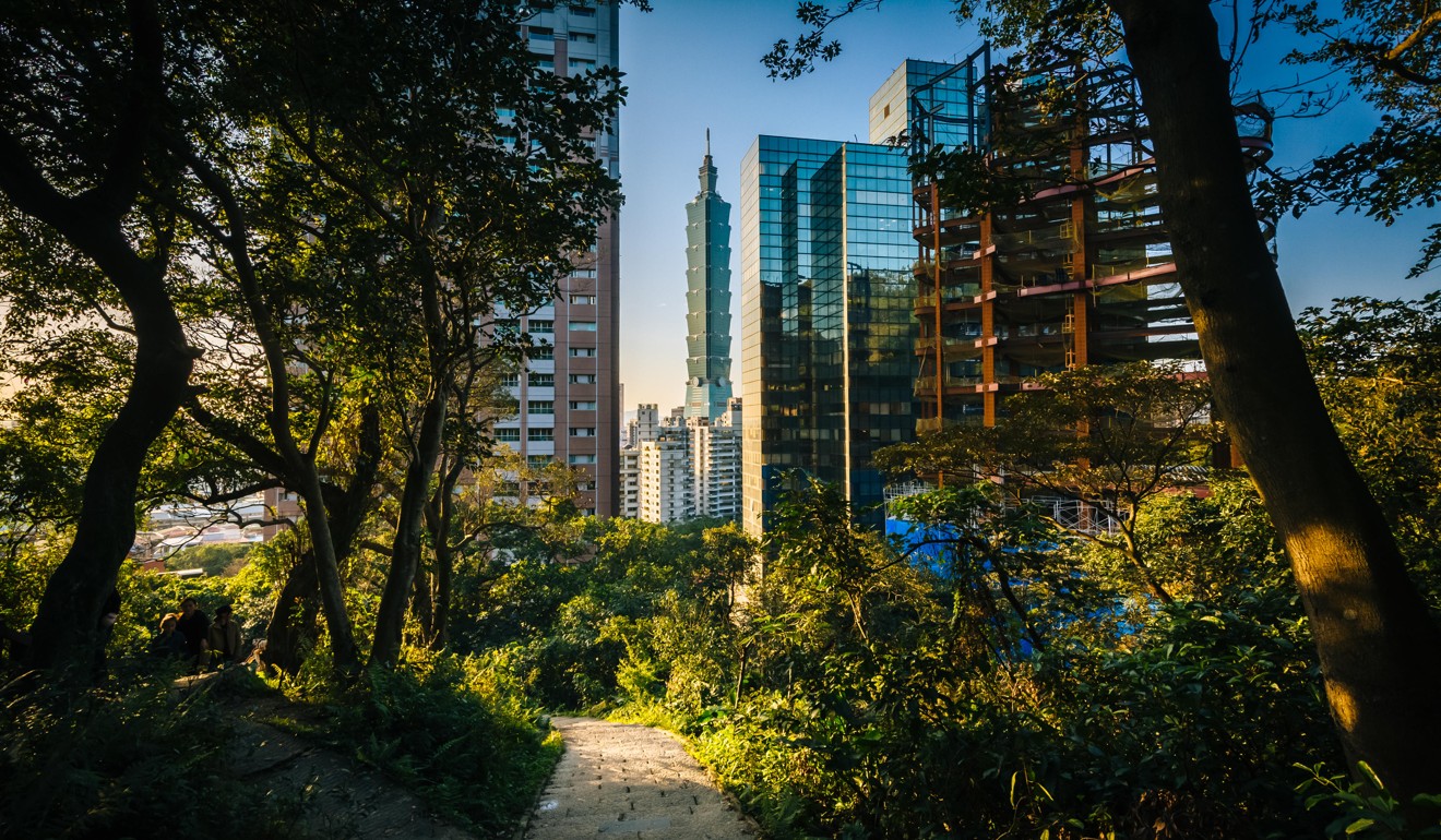
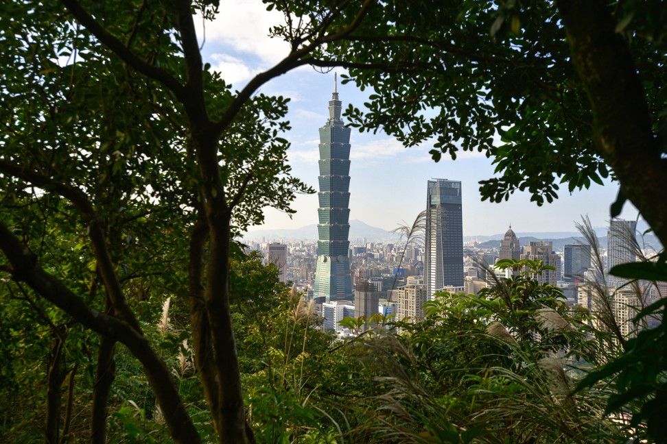
This is an easy hike, mostly consisting of stairs ascending to Instagram-worthy views of the Taipei City sprawl. The trailhead is just a few minutes on foot from Exit 2 of Xiangshan MRT Station. The trail's relative ease and proximity to the Taipei 101 building and the Xinyi shopping district mean it can get quite crowded, particularly on clear, sunny weekends.
Pingxi Crags
From the Xiaozi Mountains trailhead in New Taipei City, hikers ascend steep, railed staircases to three crags with the aid of taught steel cables. Hikers are rewarded with views from the top of this former coal mining area and the surrounding river valley.
To reach the trailhead, catch a train from Taipei Main Station to Ruifang Train Station, then transfer to the Pingxi Rail Line and take that to Pingxi Station. Or, you can take the MRT in Taipei to Muzha Station, and then catch a bus directly to Pingxi.
Huang Di Dian
This is another New Taipei City treasure, this one starting off from the small town of Shiding. Stairs from the trailhead near a red temple gate in town lead up to a series of ropes and steel ladders and chains. Like Wuliaojian, there are hand and footholds carved into the rock face, and the journey to the east peak can take around three hours at a moderate pace.
To reach Shiding, first take the MRT to Muzha Station, then transfer to the 666 Bus, which travels to Shiding.