Source:
https://scmp.com/news/china/diplomacy/article/3082417/china-launches-mission-determine-height-mount-everest-once-and Diplomacy
China launches mission to determine height of Mount Everest once and for all
- Project will examine whether earthquake and changing wind speeds have affected peak’s snowcap
- Survey team hoping the BeiDou satellite navigation system and other Chinese technology can help them find the answer

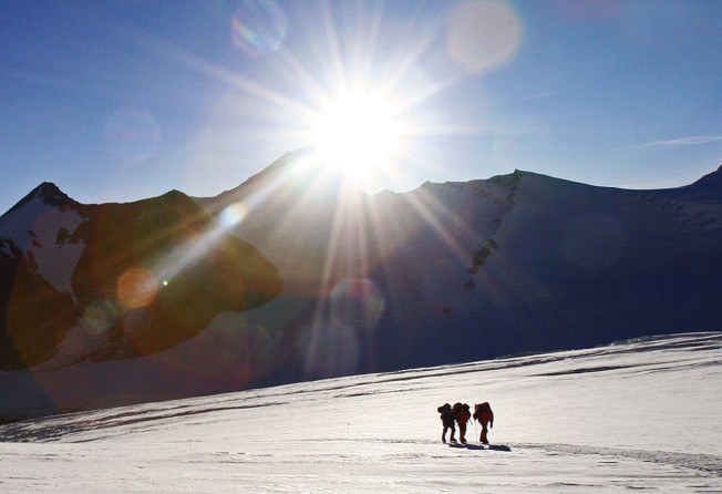
A Chinese team is preparing to determine the exact height of Mount Everest. Photo: AFP
China is sending a surveying and mapping team to the summit of Mount Everest this month in a bid to end the long-running debate over the precise height of the world’s tallest mountain.
The mission was announced on Wednesday at one of the mountain’s base camps in Tibet, where a team of 53 surveyors has been making technical preparations since March 2. The team will use China’s BeiDou navigation satellite system and Chinese surveying instruments for the project.
Mount Everest – known as Sagarmatha in Nepal and Qomolangma in Tibet – lies in the Himalayas on the border between China and Nepal. The two countries have long disputed whether measurements of the mountain should include its snowcap or be limited to the rock base.
In 2005, a Chinese expedition assessed the peak and measured the height from both the rock base and from the top of the snowfall. The result, a rock height of 8,844.43 metres (29,017.2 feet), was declared by China to be the most accurate and precise measurement to date.
Nepal has long held that Everest’s snowcap should be included, putting the iconic peak at 8,848 metres, a height which is widely accepted. However, geologists believe the snowcap may have shrunk by several centimetres after the magnitude 8.1 earthquake in 2015. Changing wind speeds are also believed to have affected it.
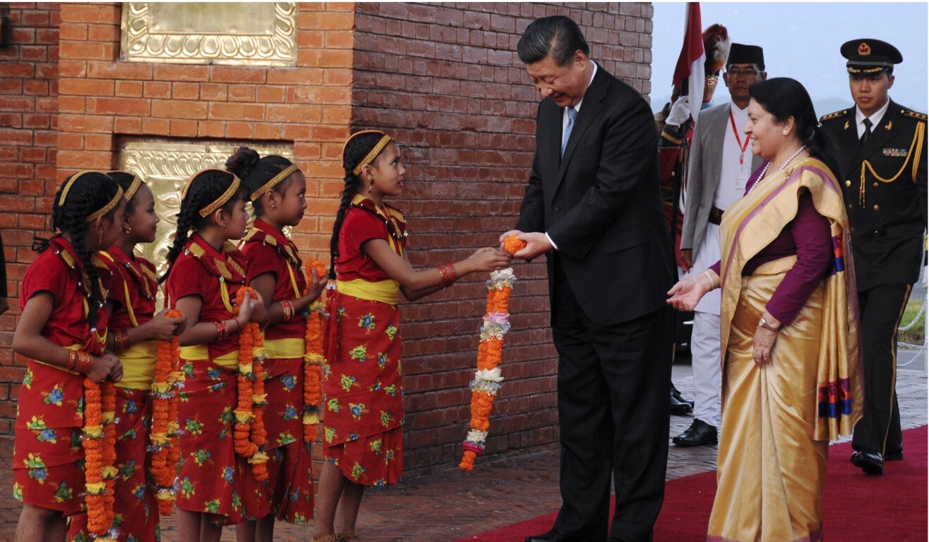
Chinese President Xi Jinping visited Nepal in October. Photo: EPA-EFE
Following a state visit to Nepal by Chinese President Xi Jinping in October, the two countries agreed to jointly launch a scientific research project to determine the exact height of Everest, recognising the peak as “an eternal symbol of the friendship between the two countries”.
China’s natural resources ministry said the project indicated a new step in the friendship and highlighted the historical significance of the mission, which coincides with the 60th anniversary of the first Chinese ascent of the mountain’s north side as well as the 45th anniversary of China’s first precise measurement of the peak.
The results of the survey will be used for geodynamics research and the precise depth of the summit’s snowcap, meteorological and wind speed data will offer first-hand materials for glacier monitoring and biological environment protection.
In a separate development, China Mobile said on Thursday that the entire peak now had 5G coverage. In a joint project with Huawei, 5G antennas were installed at the mountain’s advance base camp, at a height of 6,500 metres. Antennas were installed earlier in April at the lower base camp, at 5,300 metres and at 5,800 metres.