Source:
https://scmp.com/news/hong-kong/health-environment/article/2149220/hong-kong-observatory-keep-eye-possible-typhoon Health & Environment
Hong Kong Observatory to keep an eye on possible typhoon on the way, as it forecasts storms and showers in the days ahead
Wet start to June comes after hottest May in city since records began in 1885

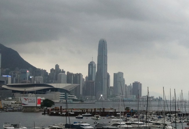
The tropical depression would “not pose a direct threat” to Hong Kong for the time being. Photo: Fung Chang
A tropical depression brewing over the South China Sea “will not pose a direct threat” to Hong Kong for the time being, the Observatory said on Monday, adding it would assess again on Tuesday whether to issue a typhoon signal.
The news came as it was confirmed that last month was the hottest May in the city since records began in 1885, with a mean temperature over 28 degrees Celsius.
According to the Observatory’s acting senior scientific officer, David Lam Hok-yin, the tropical depression lingered about 800km from Hong Kong on Monday. At 4pm, it was centred about 230km west-southwest of the Paracel Islands – known in China as the Xisha Islands and in Vietnam as the Hoang Sa Islands.
It was forecast to move slowly north, towards the vicinity of Hainan Island.
“Its structure is rather loose and it moves slowly, keeping a distance of more than 700km from Hong Kong on Monday, so it will not pose a direct threat to Hong Kong for the time being,” Lam said on Monday evening.
The Observatory will also closely monitor the cyclone and the area of low pressure to the east of the Philippines, which was expected to develop gradually and threatened to affect the region later in the week.
Earlier this year, the city’s official weather forecaster predicted five to eight tropical cyclones would come within 500km of Hong Kong in 2018. That number was said to be “normal to above normal”.
The temperature for Tuesday was expected to range between 26 and 30 degrees, with moderate-to-fresh winds. The Observatory also expects squally showers and storms in the coming days.
The cooler and wetter weather would follow an exceptionally hot and dry May, in which there were 16 very hot days and six hot nights, breaking the records for May.
The monthly mean temperature of 28.3 degrees was 2.4 degrees above the normal figure and the highest ever recorded for May. The very hot weather warning was in force for more than 320 hours last month, a record since the introduction of the warning in 2000, the Observatory said.
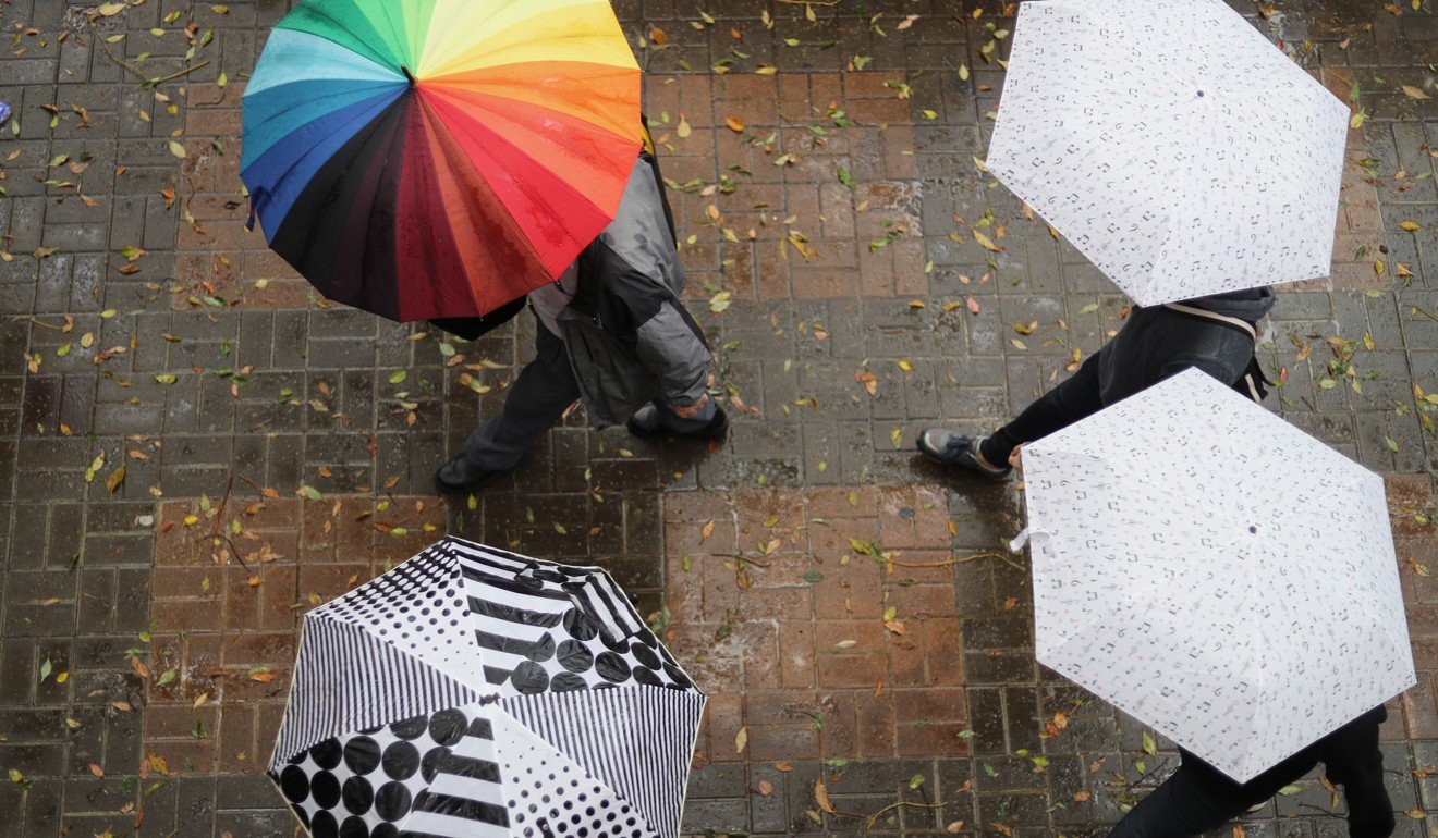
The forecast cooler and wetter weather comes after a record-breakingly hot and dry May. Photo: Winson Wong
“With long hours of sunshine, a heatwave tightened its grip on the territory in the latter half of the month with daytime temperatures at the [Observatory] reaching 33 degrees or above for 15 consecutive days from May 17 to 31 and soaring to a peak of 35.4 degrees on May 30, the highest temperature of the month and the second-highest on record for May,” the Observatory added.
It said that the city was mostly rain-free from May 12 to the end of the month, apart from some isolated showers.
The monthly mean minimum and maximum temperatures were 26.1 degrees and 31.7 degrees respectively, which were 2.0 degrees and 3.3 degrees above their respective normal figures, and were the highest and second-highest on record for May.
The total duration of bright sunshine was 236.9 hours, 96.5 hours above the normal figure of 140.4 hours and the fourth-highest on record for May.
Rainfall in the month amounted to only 57.5mm, less than a fifth of the normal of 304.7mm.
The accumulated rainfall recorded in the first five months of the year was 175mm, down 73 per cent on the normal figure of 640.8mm and the second-lowest ever recorded for the period.