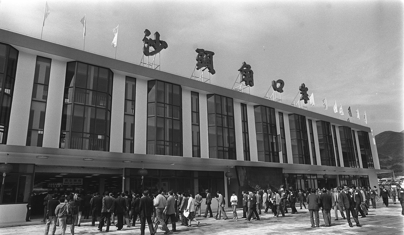
The newly opened Sha Tau Kok Control Point in the 1980s. Photo: SCMP

Sha Tau Kok is a sleepy town in Hong Kong’s northern New Territories, but it may as well be in another far-flung part of the world. One of the city’s remaining rural regions has one end that falls under a country park, while its northern border straddles local soil and mainland China.
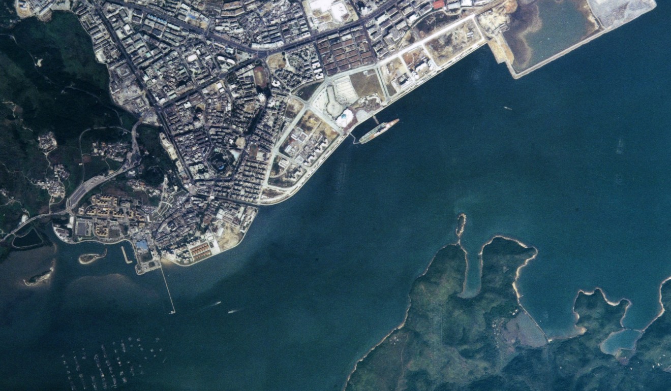
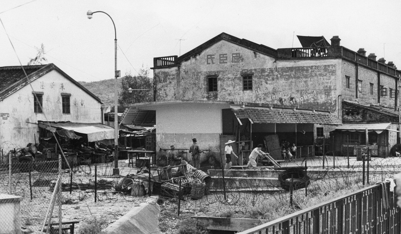
Located within the protected Frontier Closed Area, with a town centre that hugs the shoreline of Starling Inlet, this border town is seldom visited and rarely features in Hong Kong’s public consciousness.
Most of its inhabitants are from the extended Hakka lineage.
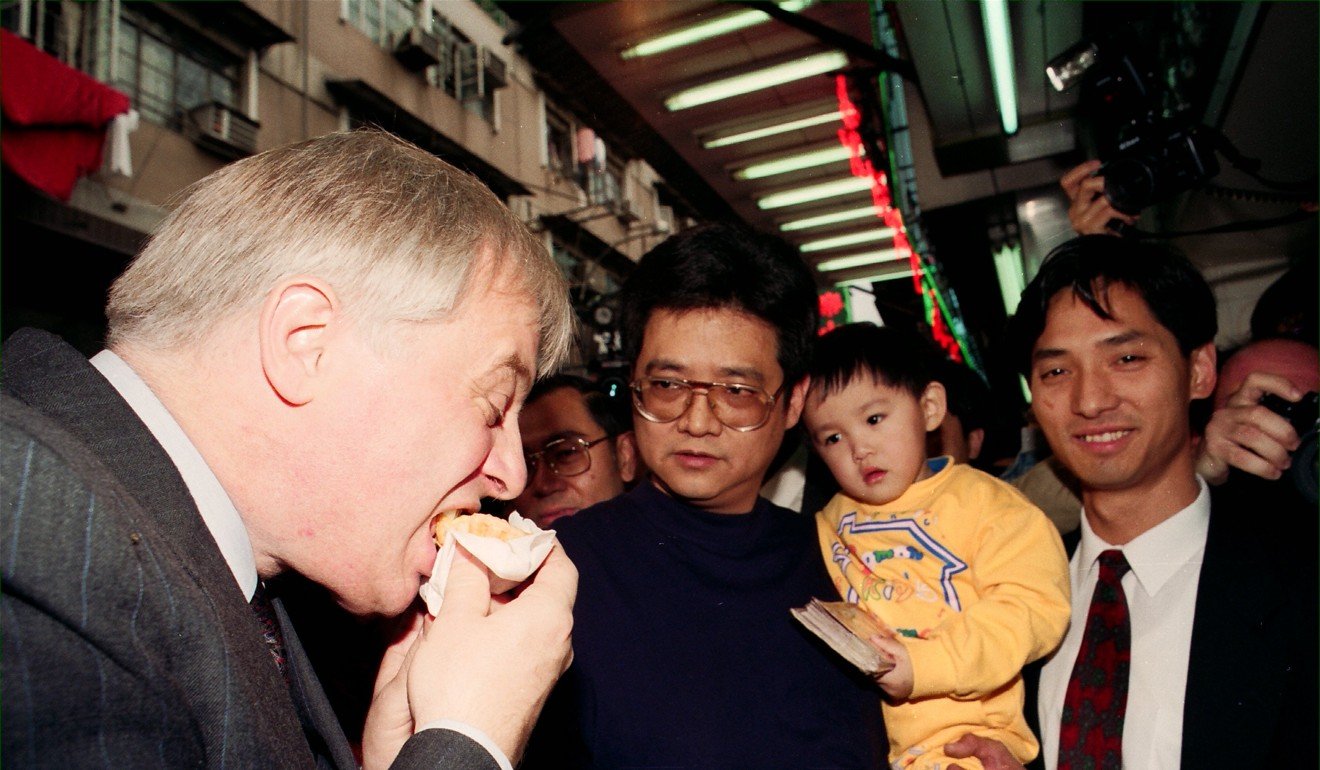
The Sha Tau Kok Control Point, or Shatoujiao Port, as it is known across the border, was opened in 1985 by colonial government official John Boyd and Shumchun deputy mayor Zhen Xipui.
Today, it is the least frequented of the seven control points between Guangdong province and the New Territories.
According to Hong Kong’s Immigration Department, the control point processed about 3.73 million drivers and people in 2016 – making it the least busy checkpoint in the city.
City Weekend explores the quiet history behind this protected village.
When a river runs dry
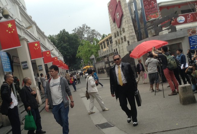
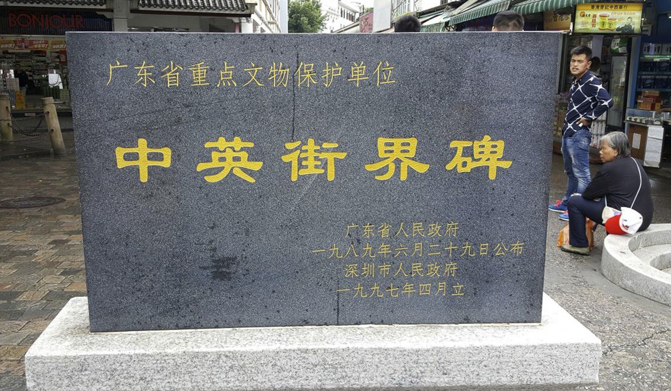
In Sha Tau Kok, the border between mainland China and Hong Kong cuts directly through Chung Ying Street, which translates into “China-England”. The name recalls the street’s history: the Second Convention of Peking, which leased the New Territories to Britain for 99 years, was signed by the Qing dynasty courts and British officials in 1898.
At the time, the street was a river. When the second world war erupted, the shallow river bed had run dry. At this point, residents on both banks set up shops, creating a commercial centre which would become Chung Ying Street.
At first, the town thrived. However, the cold war between the US and then Soviet Union sealed the fate of Sha Tau Kok.
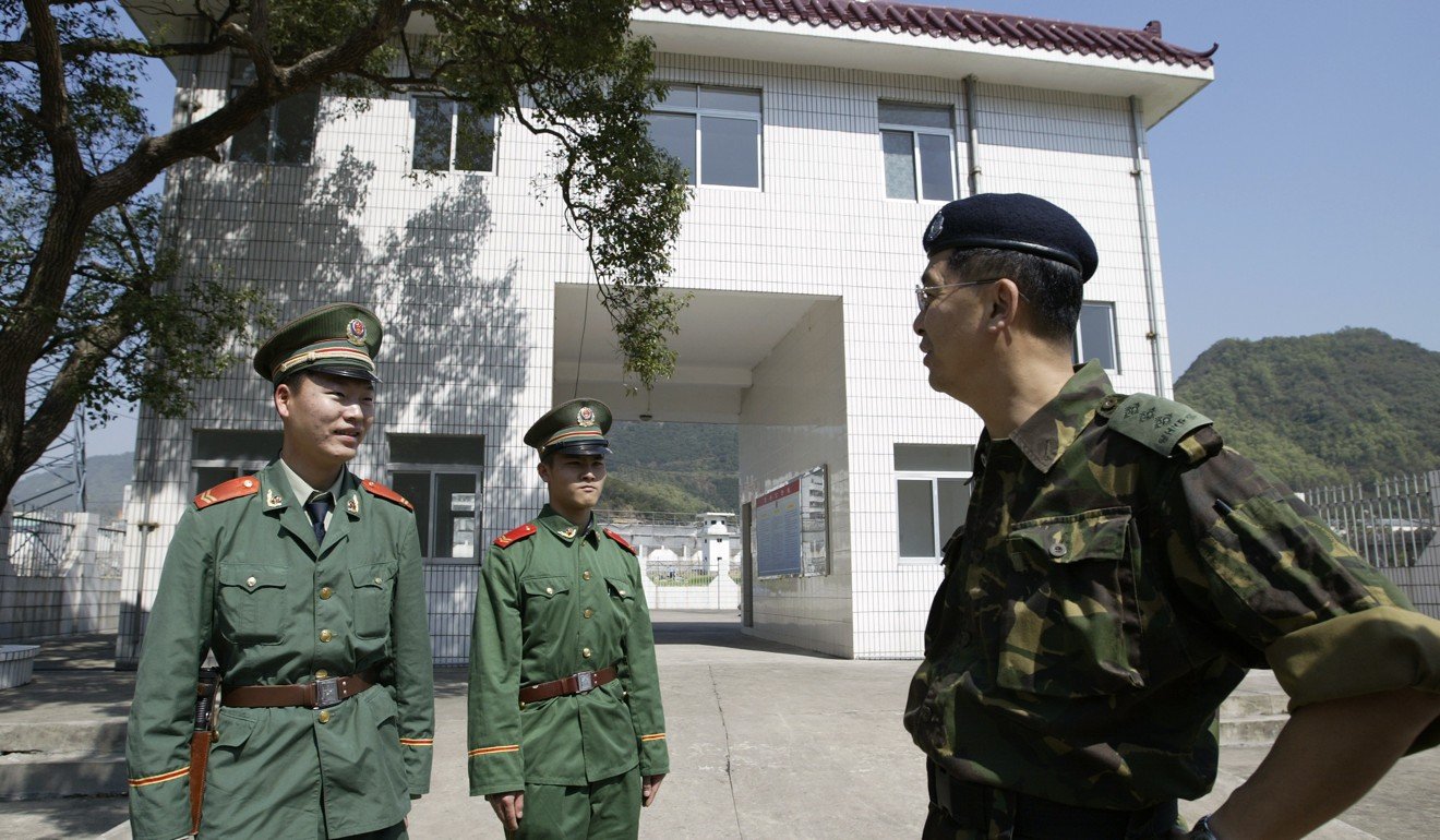
In 1951, after a UN embargo against communist China put Hong Kong on the front lines, the British colonial government established the limited-access border zone – the Frontier Closed Area – that now encloses Sha Tau Kok. It was devised as a means of combating illegal immigration, smuggling and spies.
A curfew was imposed in 1952 to better police the area. Until August 1994, villagers required permission from officers to be outdoors from midnight until 4am.
In May 1962, the influx of refugees led the government to reinforce a chain-link wire fence, constructed slightly south of the original barrier.
The extent of the control area has changed over the decades.
Most recently, a three-phase reduction scheme was implemented between 2008 and 2016, dropping the area of the frontier zone from what was once about 2,800 hectares to today’s 400 hectares.
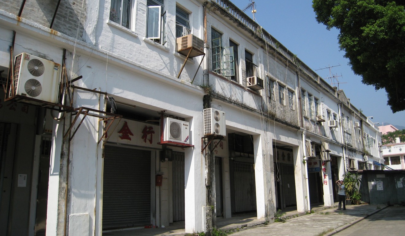
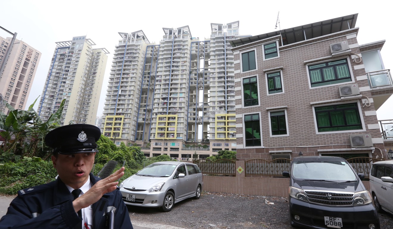
The closed area is a green patch of space, enclosing Sha Tau Kok village, Starling Inlet, and parts of Mai Po. Sandwiched between Shenzhen and Hong Kong, it is a vestige of colonial anti-communist history, and a symbol of political tensions between the local government and mainland China.
Who is allowed into Sha Tau Kok?
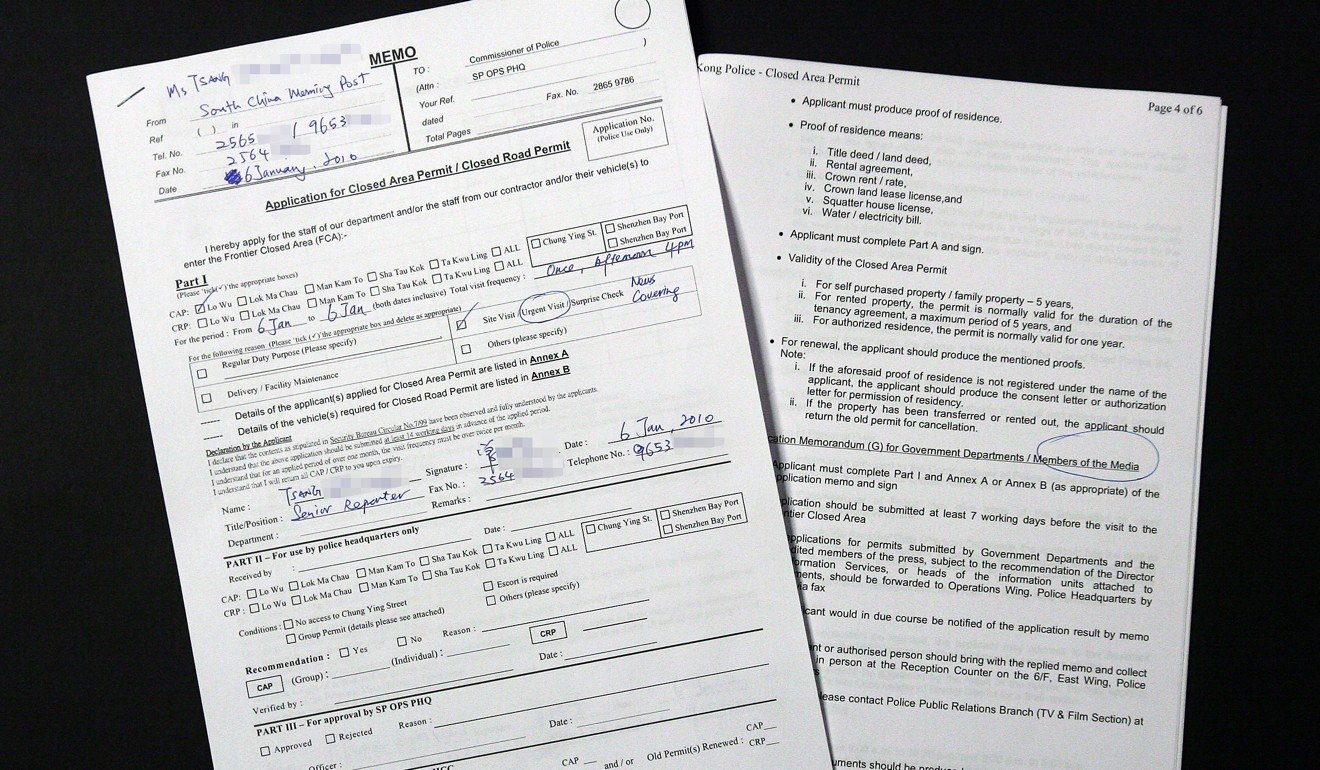
To this day, a “closed area permit” is required for anyone who wants to enter the frontier region.
Sha Tau Kok’s residents descend mainly from traditional Hakka farming backgrounds.
Hakka people have a long history in the region, with the first settlers arriving from Guangdong after 1688.
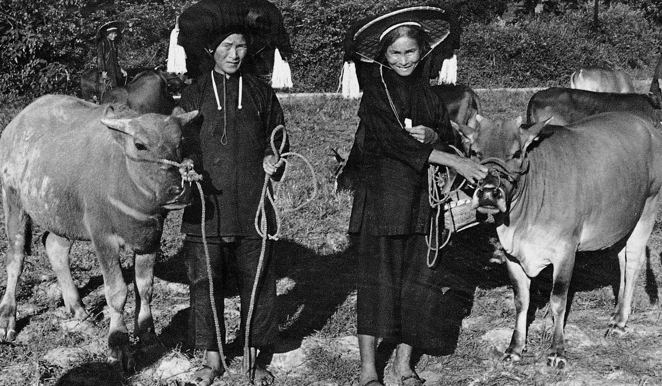
As more Hakka families moved to the northwestern New Territories, they began forming village farming communities, such as Sha Tau Kok.
Until as late as the 1970s, agriculture was the main occupation of the Hakka people. However, as farming and fishing have declined in recent decades, and post-war policies made education available to all of Hong Kong’s children, new social mobility brought the Hakka and Hokkien people out of rural areas into the government-planned new towns.
Sha Tau Kok has since witnessed a brain drain of its young and educated inhabitants, who are opting to live and work in urban areas.
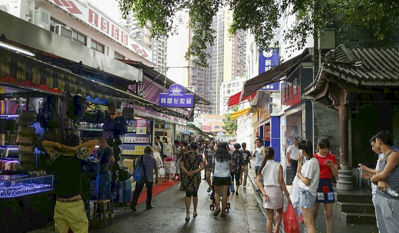
As of 2016, little more than 3,000 villagers remained, most of whom were aged from 40 to 64 years, according to the Census and Statistics Department. Residents live in Sha Tau Kok’s government housing complex or in nearby villages. Most Sha Tau Kok inhabitants are clerical staff, factory workers, or in the agriculture industry. Much of the area has succumbed to the whims of nature.
What is the latest controversy surrounding this area?
Last November, local investigative news agency FactWire discovered the Guangdong Border Defence Corps had occupied a 22,000 sq ft plot of land within Hong Kong’s Frontier Control Area since 2012. The space sits around 900 metres northwest of Sha Tau Kok.
Google satellite images proved the Sha Tau Kok River, which originally marked the Hong Kong-Shenzhen border, was diverted into a U shape, southwards into the Hong Kong side. Without permission from Hong Kong, a farm was built on this plot of new land and a pedestrian bridge constructed to connect it.
At the time, Hong Kong Chief Executive Carrie Lam Cheng Yuet-ngor proclaimed those concerned about the changing borders were “making a mountain out of a molehill”. For days thereafter, Hong Kong and Shenzhen were locked in a border dispute, with both sides disagreeing on where the precise separation lay.
So far, this has been interpreted as one of many land grabs mainland China has made at Hong Kong’s expense.
How to get there?
Public light bus routes 55K and KMB bus 78K both terminate at Sha Tau Kok village from Sheung Shui MTR station. However, passengers cannot enter the closed area if they fail to present a valid permit.