As Hurricane #Dorian approaches, I’ve declared a state of emergency to ensure local governments and emergency management agencies have ample time, resources and flexibility to get prepared. Please continue to follow local reports and @FLSERT for updates. https://t.co/FyQM6wd8er
— Ron DeSantis (@GovRonDeSantis) August 28, 2019
Florida declares state of emergency as Hurricane Dorian picks up speed towards state
- Additional emergency management staff called in to coordinate the state’s response to the storm

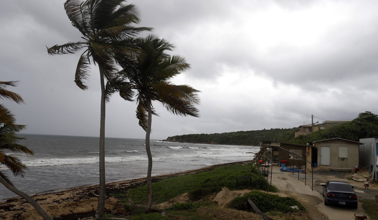
Hurricane Dorian picked up speed as it passed Puerto Rico on Wednesday afternoon, according to the National Hurricane Centre. It could make landfall in Florida on Monday as a Category 3 storm.
The newly formed hurricane was about 45 miles northwest of St Thomas as of the 5pm update, which showed Dorian has maximum sustained winds of 80mph and picked up the pace a bit, moving west at 14mph. The new update tilted the storm’s potential landfall slightly more south along the Florida coastline.
“All indications are that by this Labour Day weekend, a powerful hurricane will be near or over the Florida peninsula,” NHC forecasters wrote.
As Hurricane Dorian neared a likely Florida landfall, Governor Ron DeSantis declared a state of emergency Wednesday afternoon for 26 counties in the storm’s path, spanning the east coast from Duval to Monroe counties. The state Emergency Operations Centre is also activating to Level 2, he announced, bringing in more emergency management staff to coordinate a response to the storm.
“It’s important for Floridians on the East Coast to monitor this storm closely,” DeSantis said in a statement, urging Floridians to have seven days of supplies on hand. “I will continue to monitor Hurricane Dorian closely with emergency management officials. The state stands ready to support all counties along the coast as they prepare.”
The second hurricane of the season is expected to bring up to 6 inches of rain to Puerto Rico and the US British Virgin Islands, according to the National Hurricane Center. Isolated areas could see up to 10 inches of rain and life-threatening flash floods, surf and rip current conditions will be possible.
Nearly all of the intensity models show Dorian becoming a stronger hurricane in the next couple days, when it passes near or to the east of the Turks and Caicos Islands and the Bahamas by Friday and Saturday, according to the advisory. Forecasters warn the storm could grow in size after it clears Puerto Rico and the Virgin Islands.

By the time Dorian nears Florida’s east coast, it could be a Category 3 hurricane, with maximum sustained winds at 115mph, according to the National Hurricane Center. Florida could start seeing tropical storm force winds Saturday night.
Forecasters say the “threat of tropical storm or hurricane conditions” in the northwestern Bahamas and along portions of the Florida east coast have increased, but it’s still too early to know exactly how – or where – Florida will be affected.
“By Friday, a high pressure region is forecast to build to the north of the system,” said NHC forecaster Daniel Brown. “It’ll be critical as to how strong that ridge is as to how quickly it turns back to the north-northwest.”
If that ridge is stronger, it could push Dorian west faster, pointing it more toward South Florida. A weaker ridge would see a more northern landfall.
But regardless of landfall location, the storm could bring heavy rain up and down the state over the weekend. That is just in time for the second King Tide of the season, a higher than usual high tide that usually brings intense flooding to low-lying regions.
“High tides are beginning to go up today and they continue really through the weekend into Sunday. Monday they stay elevated,” said NWS meteorologist Larry Kelly. “They’re not running too above normal at this time, but we’re continuing to monitor them. The impact from Dorian depends on the track.”

The National Weather Service advised this week that Florida could see drenching rain and maybe even flooding from Dorian later this week and into early next week. NHC forecasters expect 4 to 8 inches of rain, with isolated areas seeing up to 10 inches of rain.
A late afternoon track shift Tuesday took Dorian from shooting the gap between Puerto Rico and the Dominican Republic to an eastern tilt directly through Puerto Rico, which is still hurting from the direct hit it took from Hurricane Maria two years ago. Wednesday morning saw the track shift farther right and closer to the Virgin Islands.
Puerto Rico is under a hurricane watch and a tropical storm warning. The British Virgin Islands and US Virgin Islands are under a tropical hurricane warning.
There’s still plenty of time for the forecast to shift.
DeSantis tweeted Tuesday that “all residents on the East Coast should prepare for impacts, including strong winds, heavy rain and flooding.”
Based on the current track of #TropicalStormDorian, all residents on the East Coast should prepare for impacts, including strong winds, heavy rain and flooding. Make sure to have your supplies ready and follow @FLSERT and local media for the latest updates on the forecast.
— Ron DeSantis (@GovRonDeSantis) August 27, 2019
So far Miami International Airport has only experienced one Dorian-related flight cancellation: American Airlines’ 10.52am flight to St Thomas, US Virgin Islands Wednesday and the corresponding return flight previously expected to arrive at MIA Wednesday evening at 5.40pm.
Royal Caribbean International announced Wednesday that it was closing its private island in the Bahamas, Coco Cay, ahead of Tropical Storm Dorian’s arrival. The company expected the island to reopen on September 4, 2019.