It is more usual to see heavy smog in Beijing, as shown in this November 2015 file pic. Photo: Simon Song
Did Beijing seed the clouds for V-day parade last September, or were the blue skies and subsequent torrential downpours that broke up the city’s typically dry autumn just a freak of nature?

Chinese scientists have revealed for the first time the driving forces behind the explosive downpours that suddenly struck the Chinese capital, famous for its choking pollution, last autumn amid speculation that the central government was responsible for manipulating the weather.
But while it cleared up part of the mystery, their explanation left some questions unanswered about this unusual climatic phenomenon that occurred in September, when Beijing hosted a military parade to commemorate the 60th anniversary of victory over Japan at the end of world war two.
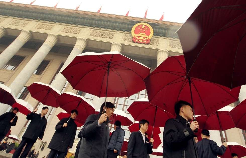
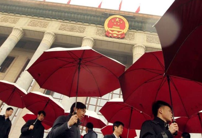
The skies were so clear for the V-Day 2015 parade on September 3 that a new descriptive adjective started doing the rounds on social media: “parade” blue.
Beijing barely sees rain during the autumn months. When it does, it is usually a light drizzle - which made the thunderstorm that occurred days after the parade even more puzzling. It turned out to be the biggest downpour of 2015 for the city.
This fed speculation that it was the result of cloud seeding and other measures taken by the authorities to make sure Nature didn’t rain, literally, on their parade.
The city fathers are believed to have adopted similar measures during the 2008 Beijing Olympics, as well as for other politically important events and meetings in the capital.
In the case of the parade, the government denied such rumours as groundless and put it down to unusual weather patterns. Not everyone was convinced, though, as any kind of scientific explanation was lacking.
But a recent study published in the latest issue of Atmospheric and Oceanic Science Letters has thrown new light on the issue.
A team led by Professor Sun Jianhua at the Chinese Academy of Sciences’ Institute of Atmospheric Physics in Beijing analysed the first-hand data collected by government-issued air-monitoring balloons and Doppler weather radars.
What they discovered was that the good weather on V-Day boiled down to nothing more than pure luck - that, and some exceptional meteorological findings.
The blue skies resulted from a deep, warm air mass considered too big to have been created by any artificial means, they found.
Before the parade kicked off, a wave of dense, cold air swept over from the Sino-Mongolian border and moved in a south-easterly direction towards the capital.
When it neared Beijing, it reshaped much like ocean waves near a sandbank, with the upper air stream outpacing the one below it, thus overlaying the warm air in the city with a cold blanket of air.
“In such a situation, the atmospheric stratification changes, stability decreases, and the conditions become favourable for the formation and development of convective systems,” Sun and his colleagues wrote in the paper.
Convection in this context refers to the transfer of heat, or other atmospheric properties, by large-scale motion within the atmosphere, especially motion that is directed upward.
But these conditions are favourable for normal levels of rainfall, like drizzle, and do not fully explain the strength of the downpours seen at the time.
The tipping point occurred when a shear line appeared in the atmosphere in the southern part of Hebei province, which surrounds Beijing, on the evening of September 3. It arrived in the capital the following noon.
A shear line is produced when a a stationary boundary between two different air masses scales down to a narrow line, where the wind direction changes over a short distance. If a shear line activates in a thunderstorm, for example, it can lead to a much stronger tropical storm.
When this particular shear line, which was bringing with it warm air, collided with the cold air from the north, “a remarkable interaction occurred” that triggered the downpour, the researchers said.
The only problem is that warm shear lines only occur in China in the summer months, and occasionally in spring. September would be considered out of their jurisdiction.
“Cases in autumn have not been reported,” Sun and colleagues wrote.
Another strange phenomenon also had the scientists scratching their heads.
A powerful jet stream of moist air was generated near the Yangtze River, which flows from Tibet in the southwest to Shanghai in the east. This air stream “extended directly from South China to Beijing, just like a water pipe transporting rich water vapour to North China,” the authors wrote.
Such an occurrence would typically have been driven by a tropical disturbance or typhoon - which also only happen in the summer. As such, the scientists were clueless as to how or why it happened.
They found that the heavy downfall shared many similarities to mesoscale convective systems such as tropical cyclones. But again, it seemed to have occurred in the wrong time and place.
So the big question became: why did these unusual forces occur almost simultaneously and all meet up in Beijing, similar to a planned military campaign?
“Further study is needed,” Sun and his colleagues wrote.