The making of 3D Google Earth map: clouds, typhoons, can’t stop Hong Kong firm
Mapping and survey firm Dimap overcomes weather challenges to deliver 200,000 helicopter-mounted images

Clouds, tall buildings and the risk of typhoons were among the challenges for a Hong Kong company charged with taking the images behind the first 3D Google Earth map of an Asian city.
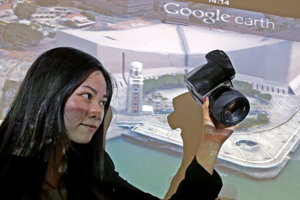
Mapping and survey firm Dimap followed strict flying regulations to use five Hasselblad cameras mounted on a helicopter to take 16 pictures of each building to create 3D images so realistic Google claims it is like flying through the city.
READ MORE: Fly through Hong Kong, no chopper necessary with Google Maps’ latest feature
The company is equipped with technology to adjust images for any tilt of the helicopter, but project faced issues such as the weather and the risk of typhoons in September and October.
“ICC was one of our challenges because it is very tall and there was a limit to how high we could fly because the cloud level was really low, so we had to had to re-fly that a few times,” said Cindy Law, who works in marketing and production support for Dimap.
After 40 hours of flying time last September and October, Dimap staff spent two months cleaning up the images to remove cloud shadows and haze before delivering 200,000 pictures to Google. The search giant released the 3D map of Hong Kong’s urban areas in mid-October.