A new satellite is recording unprecedented views of deadly storms and tornadoes from space
Satellite will reveal features of storms that previous instruments might have missed
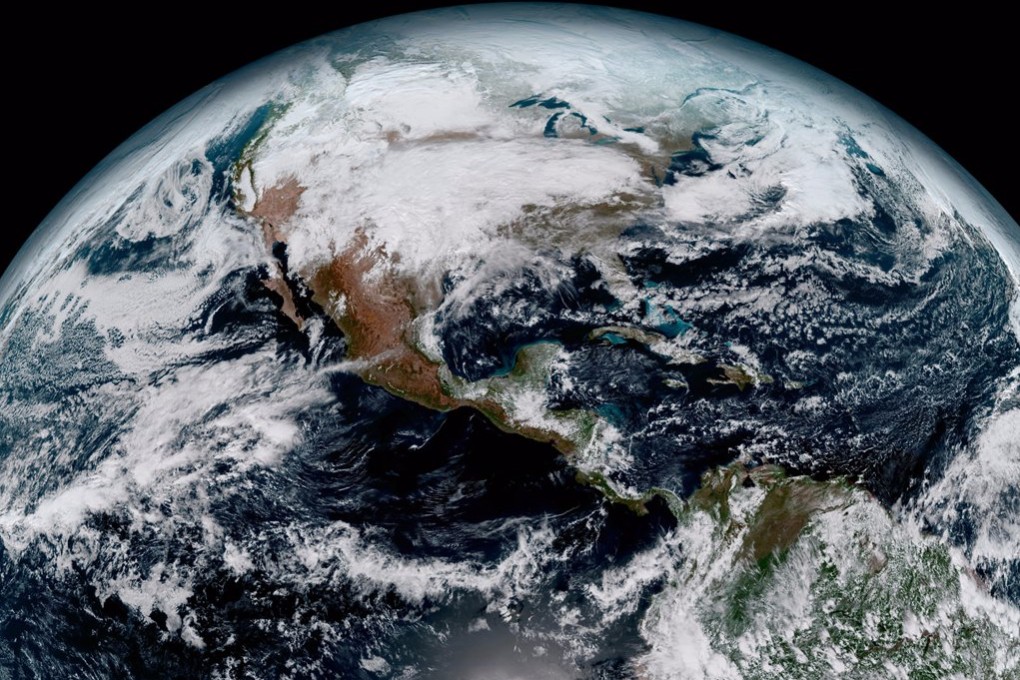
A new US weather satellite is recording violent storm systems at a level of detail scientists have never before seen from space.
On November 19, 2016, the US government launched the high-tech spacecraft, called GOES-16 — short for Geostationary Operational Environmental Satellite. GOES-16 is currently in a year-long “warm-up phase” to test out its suite of instruments, which will eventually help forecasters model the weather and save lives.
However, that hasn’t stopped the National Oceanic and Atmospheric Administration (NOAA), which runs the mission, from recording our dynamic planet in unprecedented detail.

Take, for instance, a deadly storm system that ripped across the US Southeast on Sunday, April 2.
The storm brought intense lightning, hail, flooding, and even generated several tornadoes, killing at least five people.