Why China’s new hydropower project could have security implications for India
- Beijing’s planned dam on the Yarlung Tsangpo river (the Brahmaputra in India) could be another sore point between the neighbours, who are locked in a border dispute
- New Delhi’s security concerns include China’s geoengineering and weather modification programmes and the sudden release of water
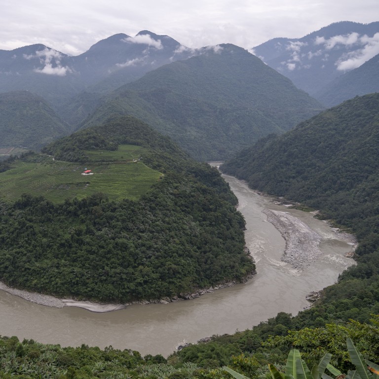
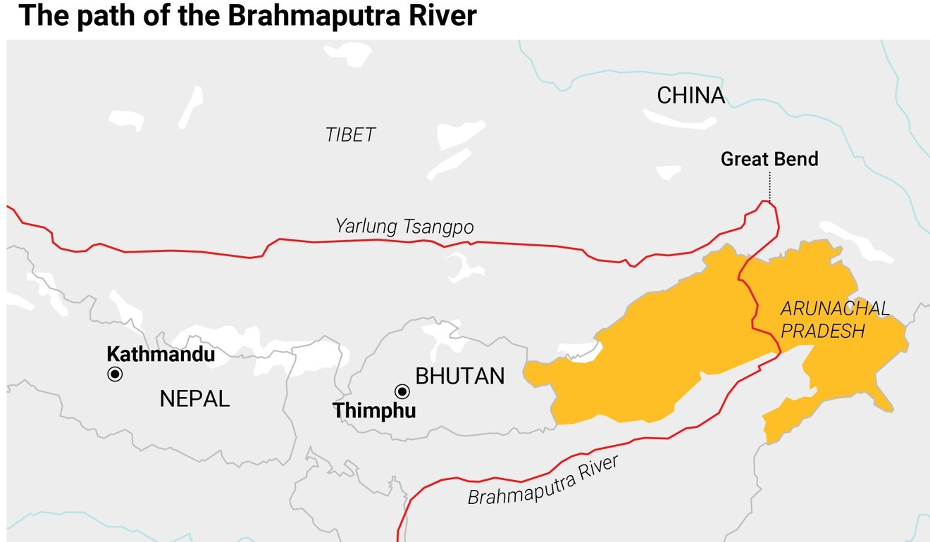
From its source in the Himalayas in Tibet, the 2,900km Yarlung Tsangpo/Brahmaputra flows eastward, then turns sharply in what is known as the Great Bend, before rushing through one of the most dramatic gorges in the world and entering India at Gelling in Arunachal Pradesh. This gorge, locally known as the Grand Canyon, is where China intends to build the dam, according to reports.

Water and arable land are limited resources in China, despite its size. It has 20 per cent of the global population but just a third of the arable land per person compared with the rest of the world, and less than 0.7 per cent of available fresh water.
China is already the world’s largest energy consumer, and its emphasis on economic development, power generation expansion and the use of green technologies implies a substantial rise in water consumption by 2035. It is therefore looking to augment its water supplies.
Two other factors are contributing to this quest – China’s rainfall pattern and population distribution. The “15-inch Isohyet” line, aligned roughly from the north-east (Harbin) to southwest (Chengdu) just above Beijing, virtually divides China. There is far less rainfall in the north, which accounts for two-thirds of farmland but has just a fifth of the country’s naturally available fresh water. This is leading China to increase water supplies to its north through programmes like the South-North Water Diversion Project.
India, 13th on the list of water-stressed countries, is also in need of water given its rising population, commitment to increasing its GDP and growing energy requirements. The new project near the Great Bend has alarmed New Delhi, which responded on December 1 by announcing its intention to build a 10GW hydroelectric dam on a major tributary of the Brahmaputra in Arunachal Pradesh.
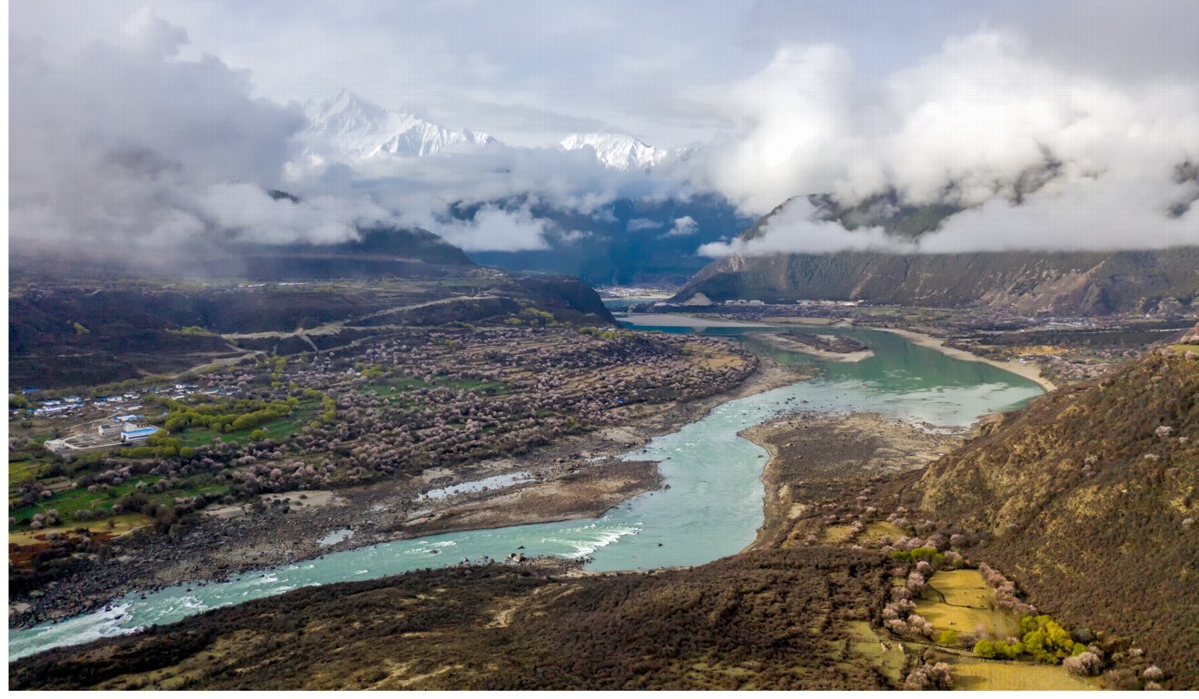
China’s new project is not the first dam on the Yarlung Tsangpo or its tributaries. Starting with a dam at Zangmu (southeast of Lhasa, near Zetang), the country is working on around 29 major and minor dams, of which about 20 are completed.
Could China’s new dam plans unleash more trouble with India?
Beijing has tried to allay India’s water concerns by stating that most of these dams – which are all far upstream of the Great Bend – are ‘Run-of-River’ (ROR) hydroelectricity generation projects, meaning no water was being stored in a reservoir, and only a part of the river was being diverted to run through turbines before returning to the river.
On top of this, a Chinese dam at the Great Bend is unlikely to impinge on water availability to India for two reasons: the Yarlung Tsangpo becomes the mighty Brahmaputra only after it enters India and is joined by a number of other rivers in Arunachal Pradesh and Assam; and India utilises only between 4 and 6 per cent of the Yarlung Tsangpo’s basin discharge.

However, there are two other issues that are of significant security concern to India, the first being the capability for water to be used as a weapon.
The Sutlej River flash floods in 2000 and 2005, and the 2004 landslide on the Pare Chu river that led to high levels of water in the Satluj valley, are reminders of how a hydrological hazard could be turned into a nightmare. A major dam at the Great Bend could be used for a large release of water at an opportune moment.
China assures India over Tibet dam plans amid spectre of drought
The Great Bend area also has reasonably high seismic activity, with implications for dam safety. If a large release of water meets no obstacle, it will cause debilitating floods along its path and then fade away gradually. But if it encounters another dam downstream, the waters could breach it and cause a major catastrophe.
A major dam at the Great Bend could be used for the large release of water at an opportune moment
There is also sufficient evidence to indicate that China is deeply involved in geoengineering and weather modification. In early December, Beijing revealed plans to expand an experimental weather modification programme to cover an area of over 5.8 million square kilometres (more than 1.5 times the size of India), with the State Council adding that China will have a fully developed weather modification system by 2025.
Importantly, while China acceded to the Environmental Modification Convention (ENMOD) – an international treaty prohibiting the military or hostile use of environmental techniques – in June 2005, it has not signed it.
And it is possible for China to extend the geoengineering programme to improve precipitation in some of the areas feeding the reservoir the proposed dam would create – as the only limits to geo-engineering are technological.
China-India stand-off: amid push for fresh talks, a winter of uncertainty
As of now, India does not have a water-sharing treaty with China, and India relies on its neighbour to share data on transborder rivers under a pact signed in 2013. However, the flow of information from China is sometimes sketchy.
Separately, Lin Boqiang, director of the China Center for Energy and Economics Research at Xiamen University, stated that hydropower projects on cross-border rivers cannot be developed without communication and cooperation between upstream and downstream countries, and that the Great Bend project will provide more opportunities for cooperation between China and South Asian countries.
India therefore could push China to deliver on Lin’s statement.
Brigadier Kuldip Singh has – apart from regimental, staff, technical, instructional and command appointments in the military – also served in India’s Defence Research and Development Organisation on two national level projects; as the Director (Intelligence Coordination) of the Defence Intelligence Agency during its formative years; and for about 10 years as the Head of the Defence Wing in the Indian government’s National Security Council Secretariat. Presently, he is employed as a senior consultant in India‘s National Disaster Management Authority.

